
Directions
Directions to the Natchez Trace Parkway vary greatly depending on what part of the tri-state Parkway you are trying to reach. There are more than 50 roads that access the Parkway in Tennessee, Alabama, and Mississippi. For specific questions concerning how to get to a certain portion of the Parkway, please call the Visitor Center at 1-800-305-7417.
Phone
+1 (800) 305-7417
Activities
AUTO TOURING, BIKING, CAMPING, FISHING
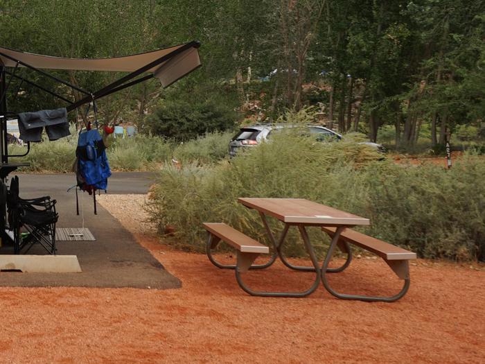
Camping Reservations
Reserve your campsite at these camping areas:
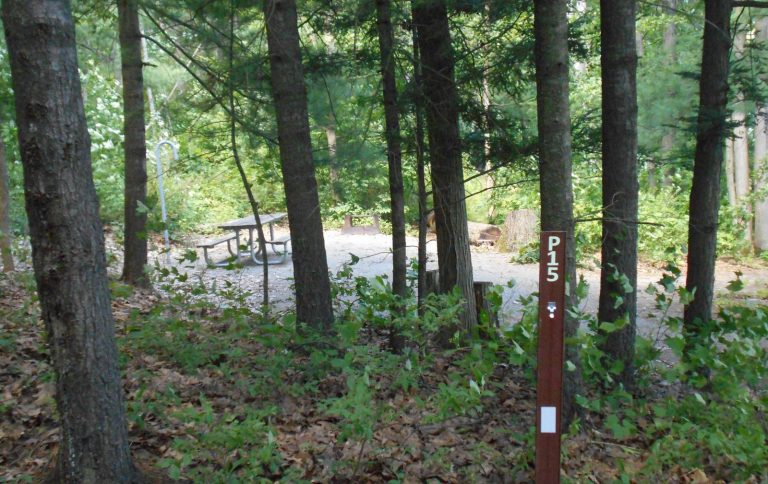
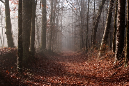
Hiking Trails
Looking for nice hiking areas to take a hike? Choose from these scenic hiking trails:
Related Link(s)
More Mississippi Recreation Areas
Natchez Trace Parkway Official Website
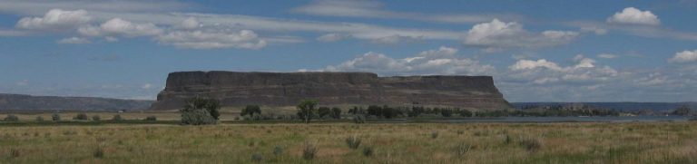
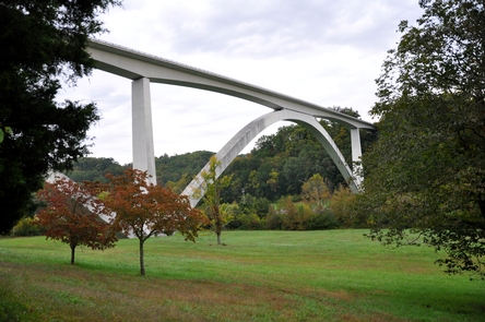
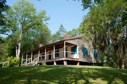
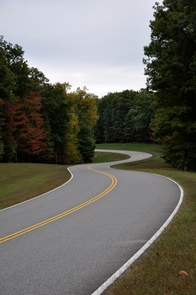
The Natchez Trace Parkway is a 444-mile recreational road and scenic drive through three states. It roughly follows the “Old Natchez Trace” a historic travel corridor used by American Indians, “Kaintucks,” European settlers, slave traders, soldiers, and future presidents. Today, people can enjoy not only a scenic drive but also hiking, biking, horseback riding, and camping along the parkway.