Directions
From Yankton, west on SD 52 or north on northeast 121.
Phone
(402) 667-2546
Activities
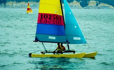
AUTO TOURING, BIKING, BOATING, HISTORIC & CULTURAL SITE, CAMPING, FISHING, HIKING, HORSEBACK RIDING, PICNICKING, VISITOR CENTER, WATER SPORTS, WILDLIFE VIEWING, PLAYGROUND PARK SPECIALIZED SPORT SITE, OTHER RECREATION CONCESSION SITE, HOTEL/LODGE/RESORT PRIVATELY OWNED, ENVIRONMENTAL EDUCATION
Camping Reservations
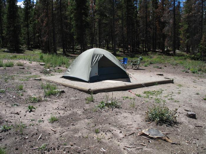
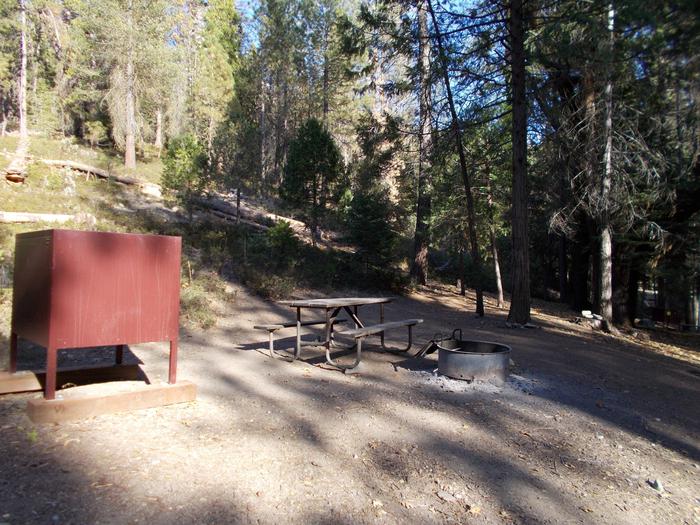
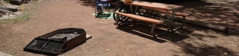
Reserve your campsite at these camping areas:
Hiking Trails
Looking for nice hiking areas to take a hike? Choose from these scenic hiking trails:
Related Link(s)
More South Dakota Recreation Areas
Lewis and Clark Lake Photo Album
Jefferson National Parks Association
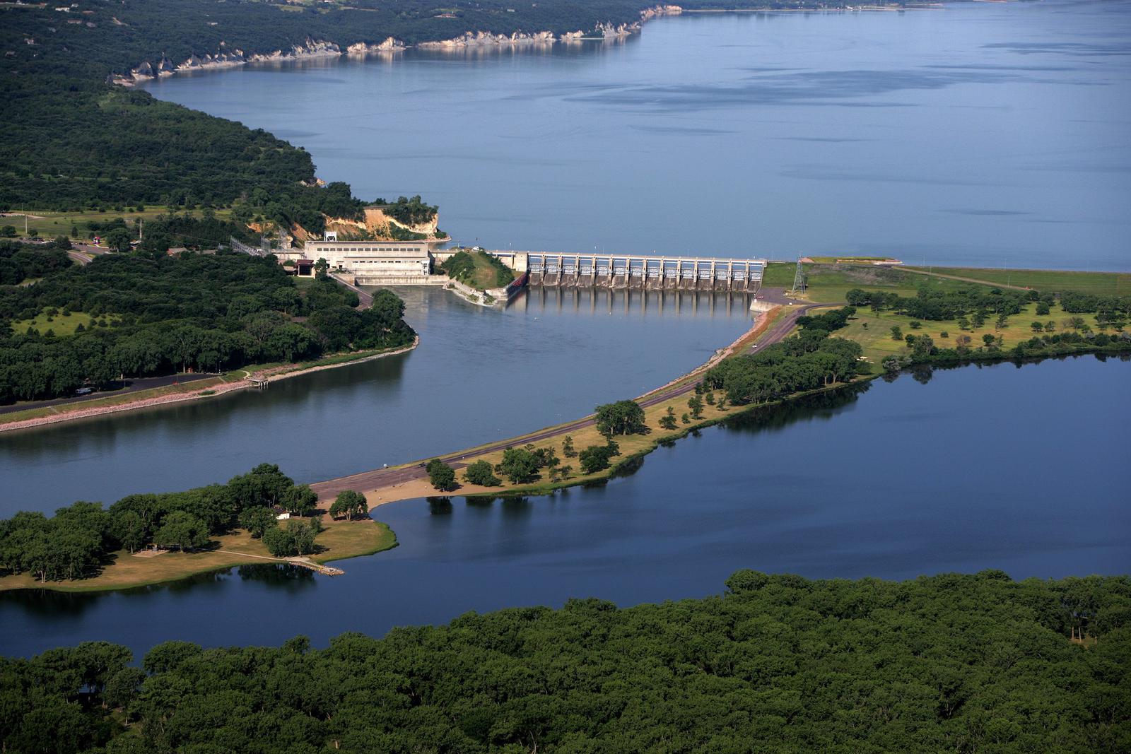
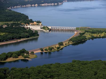
Straddling the Nebraska/South Dakota border, Gavins Point Dam, SD is the smallest of the six Missouri River main stem dams and the southernmost dam on the river. Lewis and Clark Lake, named for the first documented explorers of the Louisiana Territory, is 25 miles long, has 90 miles of shoreline, and 27 recreation areas offering camping, picnicking, fishing, hunting, boating, water-skiing, swimming, bird-watching, hiking, photography, and biking opportunities.