Directions
The Sonoran Desert National Monument is in south central Arizona, 60 miles from Phoenix. Interstate 8 provides some access at the Vekol interchange (Exit 144) and the Freeman Interchange (Exit 140). State Highway 238 and the Maricopa Road afford access to the North Maricopa Mountains and the Butterfield Overland Stage Route.
Phone
(623) 580-5500
Activities
HISTORIC & CULTURAL SITE, HIKING, HORSEBACK RIDING, HUNTING, OFF HIGHWAY VEHICLE, WILDLIFE VIEWING
Camping Reservations
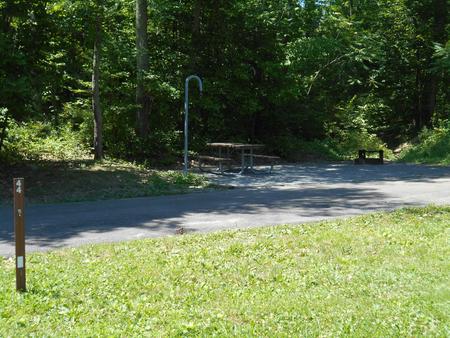
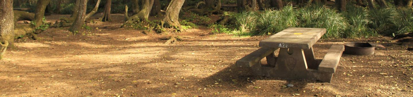
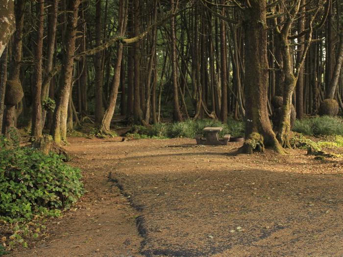
Reserve your campsite at these camping areas:
Hiking Trails
Looking for nice hiking areas to take a hike? Choose from these scenic hiking trails:
Related Link(s)
Overview
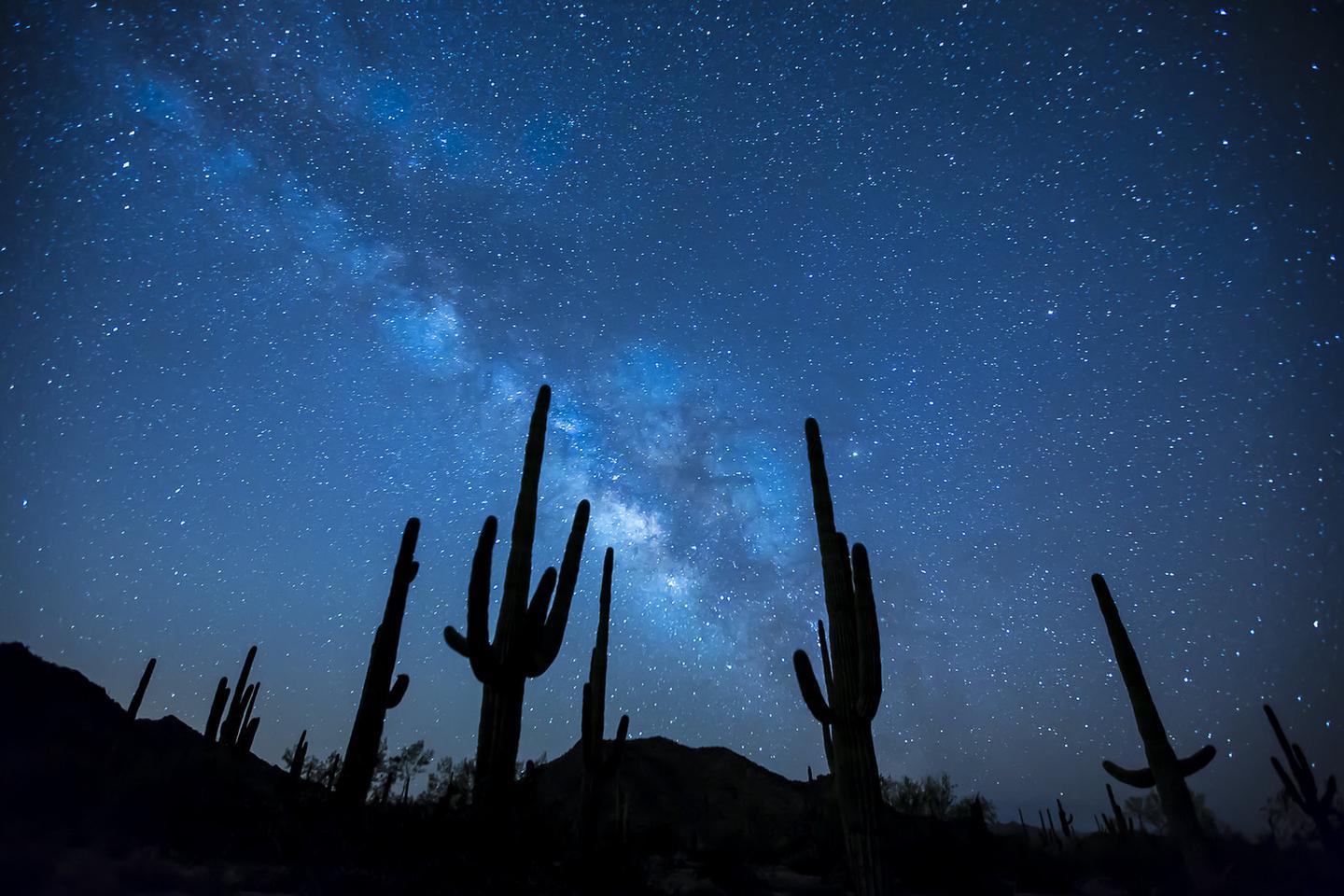
The Sonoran Desert National Monument contains magnificent examples of untrammeled Sonoran Desert landscape. This National Monument is the most biologically diverse of the North American deserts, and the monument captures a significant portion of that diversity. The most striking aspect of the plant community within the monument is the extensive saguaro cactus forest. The monument contains three distinct mountain ranges, the Maricopa, Sand Tank and Table Top Mountains, as well as the Booth and White Hills, all separated by wide valleys. The monument also contains three Congressionally designated wilderness areas and many significant archaeological and historic sites, and remnants of several important historic trails.
Visits to the Sand Tank Mountains, located south of Interstate 8, requires a Barry M Goldwater Range permit. The permit is free, but requires the recipient to register online and watch a safety video. Permits are valid for one year, from July 1 through June 30 of the following year. Permits can be obtained by clicking here or by visiting https://luke.isportsman.net/
Know Before You Go
- Motorized and mechanized vehicles, including bicycles must remain on existing routes.
- Drinking water is not available, so visitors are reminded to bring plenty of their own water. Vehicles should be in good working order, have a full fuel tank of gas and full size spare tires. The main access routes and washes are prone to heavy seasonal rains and flash floods.
- Cellular phones do not work in many areas of the national monument.