Listen
Directions
The dam and reservoir are 33 miles southeast of Klamath Falls, OR. Take state route 140 east to 70 through Bonanza.
Phone
541-880-2544
Activities
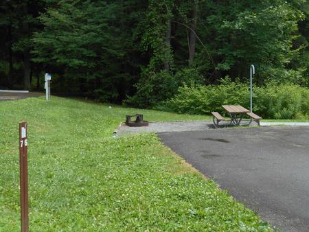
BOATING, CAMPING, FISHING, HUNTING, PICNICKING, WATER SPORTS, WILDLIFE VIEWING
Camping Reservations
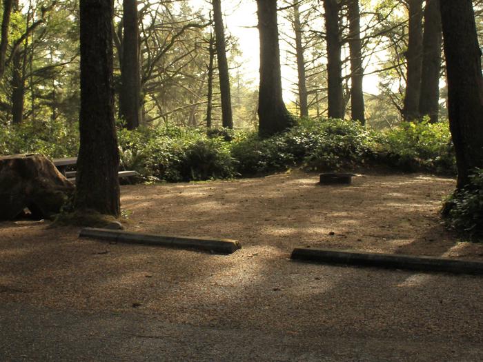
Reserve your campsite at these camping areas:
Hiking Trails
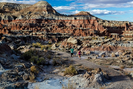
Looking for nice hiking areas to take a hike? Choose from these scenic hiking trails:
Related Link(s)
Gerber Dam and Reservoir are on Miller Creek 14 miles east of Bonanza, Oregon. The reservoir provides storage for irrigation water and its capacity is 94,000 acre feet with 17 miles of shoreline. The dam, constructed in 1924-1925, is a concrete arch structure with a height of 84 feet and a crest length of 485 feet. The Bureau of Land Management manages the recreation facilities for Reclamation

