

Listen
Phone
(812) 838-5836
Activities
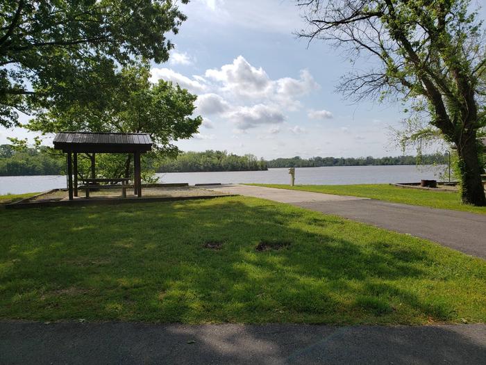
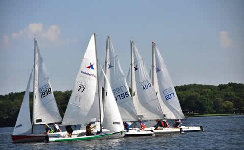
BOATING, PICNICKING, WATER SPORTS
Camping Reservations
Reserve your campsite at these camping areas:
Hiking Trails
Looking for nice hiking areas to take a hike? Choose from these scenic hiking trails:
Related Link(s)
Ohio River – John T. Myers Lock and Dam Website
Ohio River – John T. Myers Lock and Dam Photo Album
Located on the Ohio River about 3 miles downstream from Uniontown, Kentucky, at mile 846.0 below Pittsburgh, Pennsylvania. The navigation locks are located on the right bank or Indiana side of the river. The upper pool maintained above the dam extends upstream for a distance of 69.9 miles to the Newburgh Locks and Dam at Mile 776.1.