Directions
Located 9 miles east of Sierra Vista on state Route 90.
Phone
(520) 258-7200
Activities
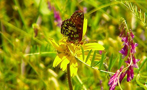
BIKING, HISTORIC & CULTURAL SITE, CAMPING, INTERPRETIVE PROGRAMS, HIKING, HORSEBACK RIDING, HUNTING, PICNICKING, WILDLIFE VIEWING
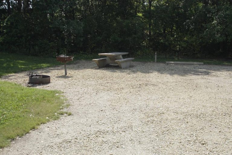
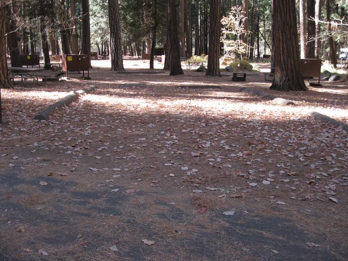
Camping Reservations
Reserve your campsite at these camping areas:
Hiking Trails
Looking for nice hiking areas to take a hike? Choose from these scenic hiking trails:
Related Link(s)
San Pedro Riparian National Conservation Area
The San Pedro riparian area, containing about 40 miles of the upper San Pedro River, was designated by Congress as a National Conservation Area (NCA) on November 18, 1988. The primary purpose for the designation is to protect and enhance the desert riparian ecosystem, a rare remnant of what was once an extensive network of similar riparian systems throughout the Southwest.
Many recreational opportunities are available within the NCA. Three of the most popular sites are :
Murray Springs Clovis Site, a significant archaeological site that contains an undisturbed stratigraphic record of the past 40,000 years. Excavations were conducted by the University of Arizona from 1966 to 1971. People first arrived in this area 11,000 years ago. They belonged to what we now call the Clovis Culture and were the earliest known people to have inhabited North America. Named after the distinctive and beautifully crafted Clovis spear points they made, they were expert hunters of the large mammals of the last Ice Age. An interpretive trail leads visitors through the site. From Sierra Vista, take Arizona Route 90 east 6 miles to Monson Road. Turn left, and go about 1.2 miles to the signed turnoff to Murray Springs. The access road is located on the right.
The Spanish Presidio Santa Cruz de Terrenate is the most intact remaining example of a once-extensive network of similar presidios. These fortresses marked the northern extension of New Spain into the New World. Only a stone foundation and a few remaining adobe wall remnants mark the location of an isolated and dangerous military station. From Fairbank on Arizona Route 82, drive approximately 2 miles west on Route 82, turn right on the Kellar Ranch Road and travel approximately 3 miles to the trailhead. Hike about 2 miles to the ruins and interpretive displays.
The San Pedro House, located 9 miles east of Sierra Vista on Arizona Route 90, is a popular trailhead for birdwatchers, hikers, and mountain bikers. The Friends of San Pedro operate a bookstore and information center.