Directions
Site is about 30 miles from Phoenix, Arizona. North on I-17, west on State Hwy. 74.
Phone
602-372-7460
Activities
BIKING, BOATING, HISTORIC & CULTURAL SITE, CAMPING, FISHING, HIKING, OFF HIGHWAY VEHICLE, PICNICKING, RECREATIONAL VEHICLES, VISITOR CENTER, WATER SPORTS, WILDLIFE VIEWING, OTHER RECREATION CONCESSION SITE
Camping Reservations
Reserve your campsite at these camping areas:
Hiking Trails
Looking for nice hiking areas to take a hike? Choose from these scenic hiking trails:
Related Link(s)
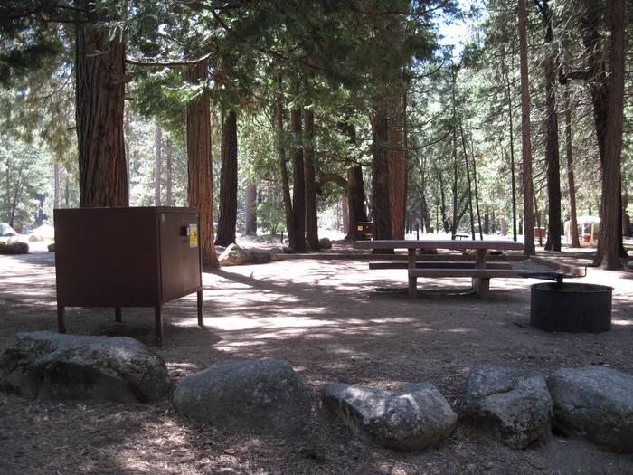
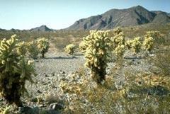
This newly expanded reservoir has 114 miles of shoreline for family recreation uses. The reservoir boasts a 10-lane boat ramp; parking for 200 vehicles. Recreational facilities concentrated primarily on the reservoir’s western shore. About 450 picnic sites, 165 campsites ranging from tent to primitive to improved camping with full utility hookups, 14 group-use areas, 4 overlooks, a full-service marina equipped to handle 1,000 boats, and 7 miles of trails. The lake also has a visitor center an overlook as well as a desert education center. Along with hiking, biking and watersports, sportfishing is very popular and numerous species inhabit the lake including white bass, largemouth bass, striped bass, channel catfish, and black crappie. A state-issued license is required. Contact/Entry Station phone number is 928-501-1710. New Waddell Dam and Lake Pleasant are features of the Central Arizona Project.

