
Directions
There are only two public access vehicle crossings of the river, on Lake Havasu at the Highway 95 bridge and the El Paso Natural Gas Pipeline Crossing. The lower portion of the river, in the Bill Williams National Wildlife Refuge is accessible from the road south of the Bill Williams bridge on Highway 95.
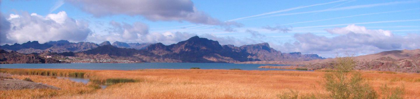
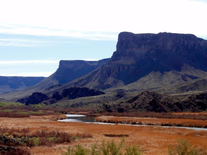
From Interstate 40, take State Highway 95 south approximately 37 miles to where the Bill Williams River flows into the Colorado River at Lake Havasu. The marshy delta created at the confluence can be viewed from several Highway 95 turnouts.
Phone
(928) 505-1200
Activities
AUTO TOURING, BOATING, HISTORIC & CULTURAL SITE, FISHING, HIKING, VISITOR CENTER
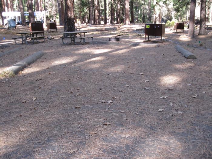
Camping Reservations
Reserve your campsite at these camping areas:
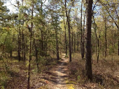
Hiking Trails
Looking for nice hiking areas to take a hike? Choose from these scenic hiking trails:
Related Link(s)
U. S. Fish and Wildlife Service
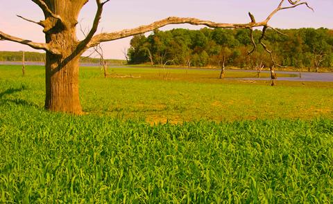
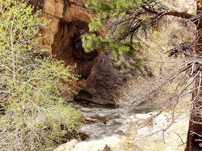
The Bill Williams River provides habitat for fish and wildlife, clean water, forage, and recreational opportunities such as fishing, kayaking, rafting, and hiking. The river is historically unique to this section of the Lower Colorado River as a major tributary that was used as a travel corridor by Native Americans, European explorers, and early settlers.
Six state and federal agencies have worked together since 1992 to manage the Bill Williams River’s outstanding riparian, wildlife, recreational, and fisheries resources. The river system provides habitat for both migratory and resident birds as well as local wildlife which includes bighorn sheep, deer, coyotes, javelina, ring-tail cats, foxes, and more. Aquatic life includes macroinvertebrates, amphibians, and fish. Turtles, beavers, muskrats, and raccoons frolic beneath the cottonwood and willow trees along the river banks. Three segments of the Bill Williams River totaling 21.1 miles have been determined suitable for inclusion in the National Wild & Scenic Rivers System. These segments possess outstandingly remarkable scenic, recreational, fish, and wildlife values.