Directions
Off county road about 5 miles west of Fort Collins.
Phone
970-679-4570
Activities
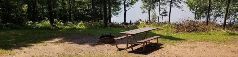
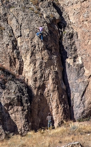
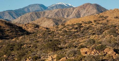
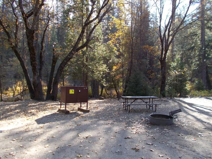
BIKING, BOATING, CAMPING, INTERPRETIVE PROGRAMS, FISHING, HIKING, PICNICKING, RECREATIONAL VEHICLES, WATER SPORTS, WILDLIFE VIEWING, OTHER RECREATION CONCESSION SITE, ENVIRONMENTAL EDUCATION
Camping Reservations
Reserve your campsite at these camping areas:
Hiking Trails
Looking for nice hiking areas to take a hike? Choose from these scenic hiking trails:
Related Link(s)
More Colorado Recreation Areas
Horsetooth Reservoir, Colorado-Big Thompson Project, furnishes the main water supply for the Poudre Valley. The reservoir is 6.5 miles long, and is formed by four large earthfill dams. Developments include 4 campgrounds, 111 campsites, and 7 boat-launch ramps. A concession-operated public marina is located at the Inlet Bay area. Concession operated restaurant (Cordova’s Horsetooth Lighthouse, 970-223-3922) is located in the South Bay. A developed public swim beach located on the west side of the lake. NOTE As a result of the Modernization of the Dam project, Reclamation lowered the water at Horsetooth and began modernizing the four dams. The reservoir has approximately 1,899 water surface acres, 1,978 land acres and 25 miles of shoreline. Primary recreation activities include fishing, power boating, water skiing and camping. Primary sport fish include rainbow trout, crappie, smallmouth bass, white bass, wiper, largemouth bass, and walleye. Current Reservoir Levels Colorado State Parks operates a small visitor center at Lory State Park, located next to the north shore of Horsetooth Reservoir.