Directions
All weather access. From Kemmerer, Wyoming, take U.S. Highway 189 North. From Green River take I-80 West to State Road 372 North.
Phone
801-379-1000
Activities
BOATING, HISTORIC & CULTURAL SITE, CAMPING, FISHING, HIKING, HUNTING, OFF HIGHWAY VEHICLE, PICNICKING, WINTER SPORTS, RECREATIONAL VEHICLES, WATER SPORTS
Camping Reservations
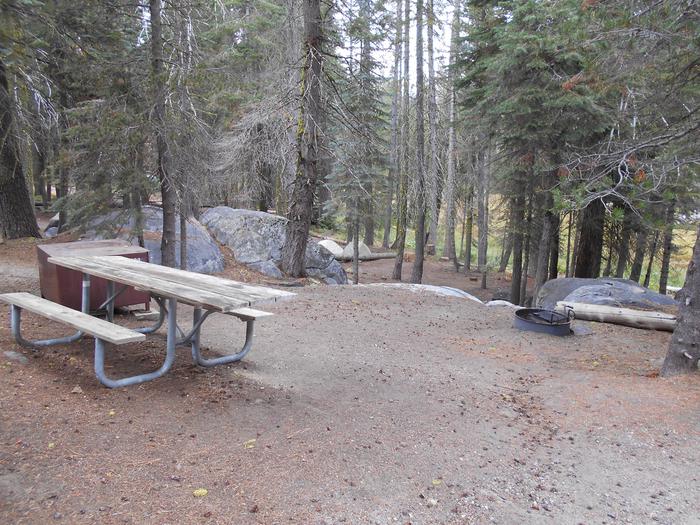
Reserve your campsite at these camping areas:
Hiking Trails
Looking for nice hiking areas to take a hike? Choose from these scenic hiking trails:
Related Link(s)
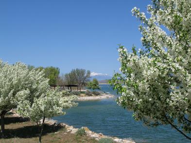
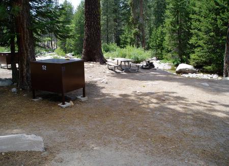
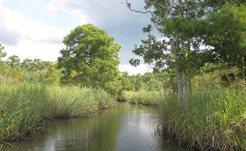
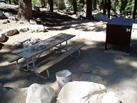
Fontenelle Dam, Powerplant, and Reservoir, Seedskadee Project, are located on the Green River 24 miles southeast of La Barge, Wyoming. The reservoir has a surface area of 8,000 acres. The lake is 20 miles long when full and has a shoreline of about 56 miles. Recreation management at Fontenelle Reservoir is performed by the Bureau of Land Management under agreement with the Bureau of Reclamation. The reservoir is situated north of Kemmerer, Wyoming, at an elevation of 6,500 feet. Recreation use is low and seasonal. Fish species include rainbow, brown, and cutthroat trout. Fontenelle Reservoir Southeast and Southwest, Anderson Canyon, and Names Hill U.S. Geological Survey maps cover the area. Fontenelle Creek campground has developed campsites with restrooms and running water. Camping fees are charged at Fontenelle Creek Campground. There is no charge for boat launching, primitive camping, picnicking or other activities. Three other primitive campsites are located below the dam. Stream fishing opportunities exist on the Green River above and below the reservoir. Phone: 801-379-1000 or BLM at: 307-352-0256 or 307- 828-4500