Directions
Site is located 2 miles east of Enders, Nebraska near U.S. 6.
Phone
308-394-5118
Activities
BOATING, CAMPING, FISHING, HUNTING, PICNICKING, WINTER SPORTS, RECREATIONAL VEHICLES, WATER SPORTS, WILDLIFE VIEWING
Camping Reservations
Reserve your campsite at these camping areas:
Hiking Trails
Looking for nice hiking areas to take a hike? Choose from these scenic hiking trails:
Related Link(s)
More Nebraska Recreation Areas
Nebraska Game & Parks Commission
Left Hand Tunnel Official Web Site
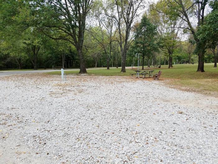
Enders Dam and reservoir, Frenchman Cambridge Division, PSMBP, is managed for the Bureau of Reclamation by the Nebraska Game and Parks Commission. The reservoir is open 24 hours. Good access roads. Fishing season is year-round. Available species include walleye, crappie, white bass, channel catfish, and wipers. Irrigation supply reservoir experiencing minor fluctuations. The reservoir has 1,707 water surface acres, 3,933 land acres and 26 miles of shoreline. A portion of the area is dedicated as a wildlife refuge in the fall and winter. Large flocks of mallards and geese winter on the open waters of the refuge.Public hunting on about 1,500 acres is allowed in some areas for deer, waterfowl, and upland game. Current Reservoir Levels

