DOUBLE LAKE RECREATION AREA, TX Campground Reservation, Info, Images, Map, Directions

DOUBLE LAKE RECREATION AREA, Texas Campground Images, Info & Reservations

Directions

From New Waverly, Texas, go 22 miles east on Highway 150 to FM 2025. Turn and drive south 0.25 miles to the campground.

Phone

936-653-3448

Activities

BIKING, BOATING, CAMPING, INTERPRETIVE PROGRAMS, FISHING, HIKING, SWIMMING SITE, OTHER RECREATION CONCESSION SITE

Keywords

DOUL,NFs IN TEXAS -FS

Related Link(s)

Rec Area Info & Images

Texas State Tourism

Texas State Road Conditions

Overview

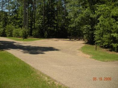
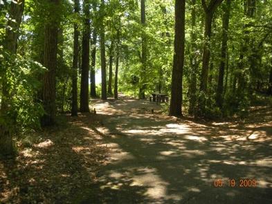
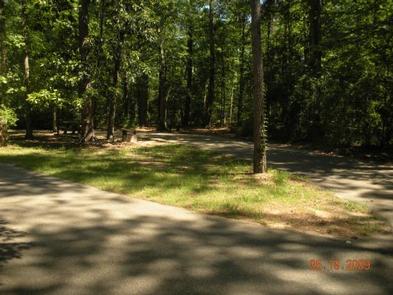
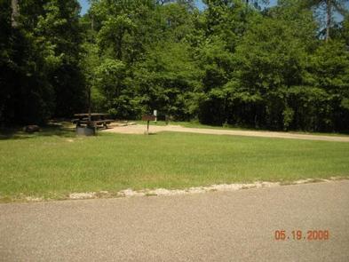
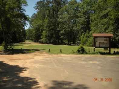
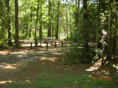
Double Lake Recreation Area was built in 1937 by the Civilian Conservation Corps and offers a little of everything, including camping, fishing, swimming, picnicking, hiking and simply relaxing in nature. A variety of tent, RV and group campsites are available.

Recreation

Double Lake is stocked with bass, bream and catfish. There are three fishing piers and a limited access boat ramp with parking nearby for trailers. Only boats with small electric motors are allowed. Boat and canoe rentals are available seasonally.

A 5-mile hiking trail leads to Big Creek Scenic Area, and there is access to part of the 128-mile Lone Star Hiking Trail. A 20-mile mountain bike trail meanders around the lake.

Swimmers can relax on a sandy beach after taking a cool plunge.

Learn more about recreation in the national forest.

Facilities

Double Lake Recreation Area facilities includes family camping units, group camping, picnicking units, a picnic shelter, beach with swimming area and a concession stand with bathhouse.

Natural Features

The area has rolling hills forested with hardwood and pines. The campground is surrounded by the 23-acre Double Lake.

Temperatures are moderate to cool from September through May, and hot and humid from June to August. Winters are cool and wet.

Reservation

More from CampingHiking.net:

BLUE BAY, Oregon Campground Images, Info & Reservations

Directions From Sisters, travel approximately 13 miles northwest on Highway 20/126. Turn left onto Forest Road 2070 (Suttle Lake Campgrounds). Travel just less than 1/2-mile to Blue Bay entrance on the right. Phone 541-323-1746 Activities BOATING, CAMPING, INTERPRETIVE PROGRAMS, FISHING, HIKING Keywords BLBA,SUTTLE LAKE CAMPGROUND,DESCHUTES NF – FS Related Link(s)

WHITE SULPHUR SPRINGS CABIN, Alaska Campground Images, Info & Reservations

Directions Accessible year round, weather permitting. Located 65 miles northwest of Sitka on Chichagof Island within the West Chichagof-Yakobi Wilderness Area. Boat access is possible with anchorage in Mirror Harbor, where 0.9-mile White Sulphur Springs Trail leads to the cabin; however, local knowledge is recommended before attempting anchorage there. White

CULTUS CORRAL HORSE CAMP, Oregon Campground Images, Info & Reservations

Directions From Bend, OR: Travel about 46 miles southwest on Cascade Lakes Highway (46); take a right onto Forest Road 4635 and travel about a mile; take a right onto Forest Road 4630. The campground is near the end of the road. Phone 541-323-1746 Activities CAMPING Keywords Related Link(s) Rec

TANIS MESA NORTH CABIN, Alaska Campground Images, Info & Reservations

Directions The cabin is located 50 miles southeast of Yakutat between Tanis Mesa and Brabazon Mountain Range. Access is by wheeled plane only via an 1,800-ft. airstrip at the cabin. Phone (907) 784-3359 Activities CAMPING, HIKING, HUNTING, WILDLIFE VIEWING Keywords TANI,TONGASS NF – FS Related Link(s) Rec Area Info &

PIONEER POINT, California Campground Images, Info & Reservations

Directions From Bakersfield, California, take Highway 178 east to the town of Lake Isabella. From Lake Isabella take 155 north about 1.5 miles to Pioneer Point Campground. Phone 760-376-1815 Activities BOATING, CAMPING, FISHING Keywords PIOP,LAKE ISABELLA,KERN VALLEY,SEQUOIA NF – FS Related Link(s) Rec Area Info & Images California State Road

GREEN ISLAND CABIN, Alaska Campground Images, Info & Reservations

Directions The cabin is located on the northwest end of Green Island in Gibbon Anchorage. It is accessible via float plane (40 minutes from Cordova, 60 minutes from Seward) or boat (75 miles from Cordova, 70 miles from Whittier, 100 miles from Seward). Boaters should use caution and watch for