
Directions
Kalaloch Campground is on Highway 101, 34 miles south of Forks, Washington, and 73 miles north of Aberdeen, Washington.
Phone
360-565-3130
Activities
CAMPING, HIKING, VISITOR CENTER, WILDLIFE VIEWING
Keywords
Clay-lock,Clay Lock,Olympic National Park
Related Link(s)
Washington State Road Conditions
Overview
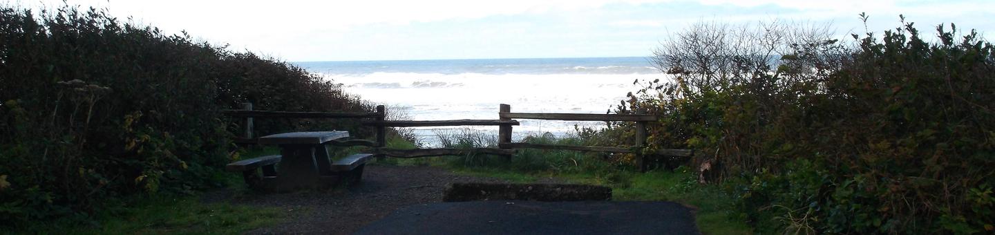
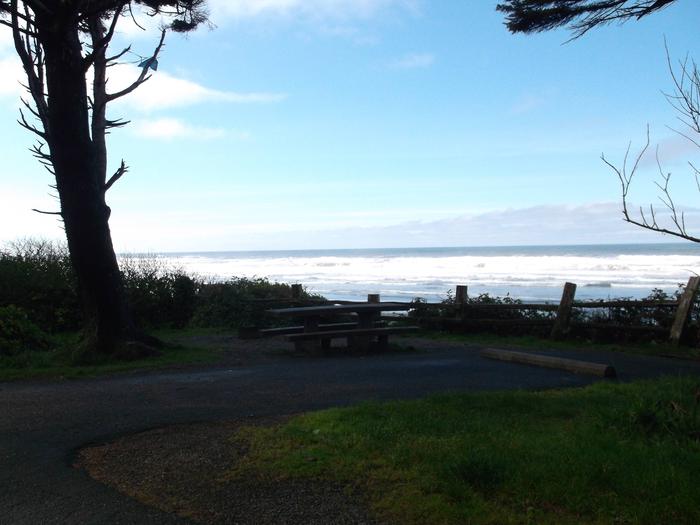
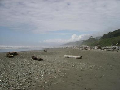
Kalaloch Campground is located on the southwest coast of the Olympic Peninsula in Olympic National Park, on a high bluff adjacent to the Pacific Ocean. Although campsites are not directly on the beach, several of them overlook the water and there is beach access within the facility. The campground is large and set amidst a peaceful, coastal forest that thrives on the region’s high annual rainfall. Rain or shine, it is one of the most visited areas of the park.
Recreation
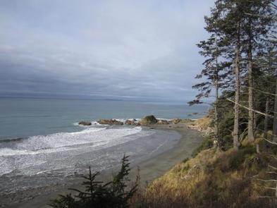
Near the campground and lodge, trails and steps descend about 40 ft. to the beach. There are several beaches, tide pools, scenic overlooks and trails to explore. The Kalaloch Creek Nature Trail is a mile-long walk through the forest along Kalaloch Creek, which drains into the ocean. There are accessible lookout points at Ruby Beach and Beach Trail 4.
Kalaloch is known for birding; species such as western gulls and bald eagles are frequently sighted. Visitors may even spot a puffin. Fishing and shellfish harvesting is allowed under state and park regulations.
Swimming is possible, however the Kalaloch area is known for large drifting logs that can pose a threat to swimmers as they wash ashore. Swimmers should also be aware of potentially dangerous rip tides.
Facilities
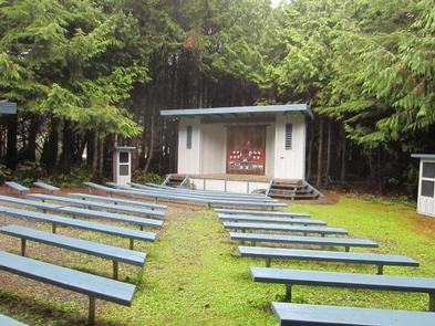
Kalaloch Campground is a large facility with 168 campsites, including one group site and four accessible sites. Each site has campfire rings with grates and picnic tables. Food lockers and drinking water are available at campground loop restrooms. There are no hookups at this facility, though a dump station is available for a $10 fee ($5 with a Senior or Access Pass) and is not included in the camping fee. The nearest shower facility is nine miles away, and campers can purchase firewood and other goods at a nearby general store.
Natural Features
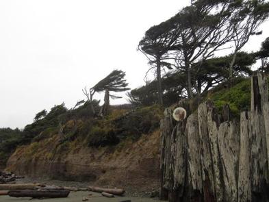
Kalaloch has no shortage of natural areas to explore. The Pacific shoreline just below provides ample habitat for marine life: tide pools reveal crabs and sea urchins at low tide; sea otters float on the surface of submerged kelp beds; shorebirds nest on beaches; and whales and dolphins occasionally emerge offshore. Beyond the national park’s 73 miles of coastline lie three national wildlife refuges and one marine sanctuary.
Nearby Attractions
Olympic National Park has much to explore, including temperate rain forests, ocean shores, sub-alpine mountains, lakes and more. The lush Hoh Rain Forest, as well as the towns of Queets, Quinault and Forks are within a 45-minute drive.