

Directions
Mather Campground is located within the park in Grand Canyon Village on the South Rim. From the south entrance station, proceed for about three miles and turn left on Center Road. Travel 1/4 mile and turn right onto Market Plaza Road. The campground is about one mile down Market Plaza Road on the right. From the east entrance station, follow the road 25 miles and turn left at the “t” intersection onto South Entrance Road. Travel about 1/2 mile and turn right at the intersection onto Center Road. Travel 1/4 mile and turn right onto market plaza road. The campground is about one mile down market plaza road on the right.
Phone
1-877-444-6777
Activities
BIKING, CAMPING, WILDLIFE VIEWING, PHOTOGRAPHY, HORSE CAMPING, RANGER STATION, STAR GAZING
Keywords
Mather Campground,Mather Campground Grand Canyon South,South Rim
Related Link(s)
Overview
Mather Campground is located on the South Rim of Grand Canyon National Park in northern Arizona. Grand Canyon is one of the most inspiring landscapes on Earth and draws over five million visitors per year to its spectacular scenery. The campground is large and can accommodate a variety of needs and comfort levels. It is the only campground within Grand Canyon Village. Scenic overlooks, the park’s free shuttle bus system, the Visitor Center, the general store and hiking and biking trails are all within a few miles from the facility. The campground is at an elevation of approximately 7,000 ft. Summers are sunny with high temperatures generally in the 80s. Thunderstorms frequently occur in July, August, and early September. Fall and spring are mostly sunny and cool with the occasional snow. Weather is variable; visitors should come prepared.
Recreation
From the campground, campers can access the Greenway, a paved walking and biking trail that leads to scenic overlooks and the Visitor Center. The Rim Trail, a paved walking trail, is one mile away and runs for 14 miles along the edge of the canyon. Leashed pets are allowed on both trails, but are not permitted below the rim. Bright Angel and South Kaibab trails descend into the canyon. Their trailheads are a short shuttle bus ride from the campground. The park’s concessionaire also offers day and overnight mule riding trips into the canyon and along the rim.
Facilities
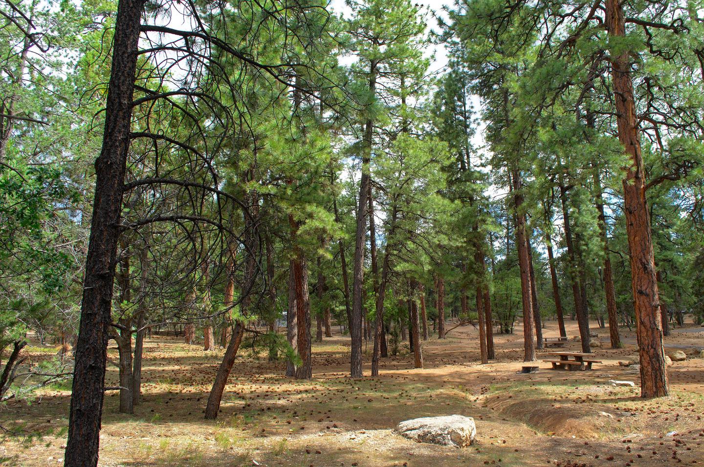
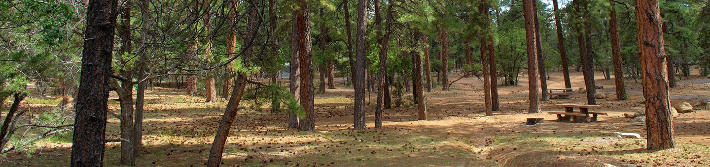
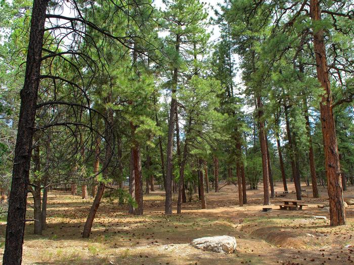
Mather Campground is a large facility with 327 campsites. Each site includes a campfire ring with a cooking grate, picnic table, parking space and room for up to three tents. There are flush toilets and drinking water spigots throughout the campground. There are no hookups available but there is a free dump station near by at Camper Services. Trailer Village, located next to Mather Campground, has hookups and can accommodate larger RVs. Almost all of the RV spaces are pull-through. Generators are NOT permitted in Pine Loop (sites 265-319).
Natural Features
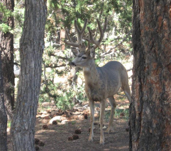
Mather Campground lies beneath a mixture of a tall canopy of Ponderosa pine, Pinyon, and Juniper trees, providing most campsites with ample shade. The campground is one mile from the rim of the canyon. A visit to the canyon during sunrise and sunset yields spectacular views of yellow, orange, red and violet hues in the canyon walls. Layers of rock display billions of years of geologic history. Campers can take a short shuttle bus ride from the campground to the Visitors Center. Visitors can also visit Yavapai Geology Museum, where they learn about the forces that formed the canyon. Below, visitors can see the mighty Colorado River, which flows 277 miles through the bottom of the canyon. Wildlife abounds on the South Rim, including elk, mule deer, coyotes, lizards, songbirds and the endangered California condor. Although condors nest below the rim, they can be seen soaring several thousand feet above the canyon in search for carrion.
Nearby Attractions
Numerous visitor centers, restaurants, museums and shops are within a shuttle bus ride from the campground. Beyond the village, Desert View provides one of the widest views of Grand Canyon and the Painted Desert. The Desert View Watchtower displays the talent of architect Mary Jane Colter. Tusayan Ruin and Museum provide glimpses into the life of a small Ancestral Puebloan village 800 years ago. Both are within 25 miles from the campground.