Directions
From Mountain Home, AR, travel 9 miles east on US 412/62, then 2 miles north on SR 101. Cross the lake on 101 bridge and take the 1st access road to the right. Follow signs into campground.
Phone
870-467-5375
Activities
CAMPING, HIKING, SWIMMING SITE
Keywords
BIDW,NORFORK LAKE,NORFORK LAKE
Related Link(s)
Arkansas State Road Conditions
Overview
Bidwell Point is tucked below towering oak and pines on the shores of Norfork Lake. Lay on the beach or take the boat out for water skiing on the easily accessible waters of Norfork Lake.
Recreation
Lake Norfork is home to one of the best striped bass fisheries in Arkansas. Black bass fishing is at its best from September through May, and an increasingly popular sport is night fishing with lights for crappie and White bass.
Facilities
Campers can reserve one of the waterfront sites for continuous, clear views of the lake. The family-friendly campground maintains a large swim beach and a playground.
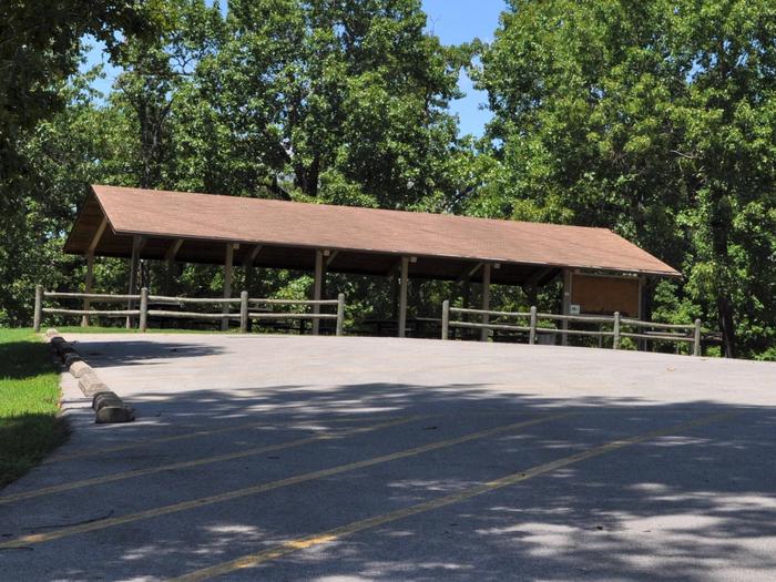
The sites have electric hookups, as does the group shelter. The group picnic shelter can fit up to 200 guests for any large occasion.
Natural Features
The forest-topped Ozarks are actually a heavily eroded plateau, shaped and carved by hundreds of streams over several thousand years.
Norfork Lake is sourced by the North Fork River in northern Arkansas, which winds through the rugged Ozarks before filling up 22,000 acres of Norfork Lake.
Nearby Attractions
Hike the Robinson Point National Recreation Trail for wonderful views of the Ozarks.
Just south of the lake, The Ozark National Forest spans 1.2 million acres.


