MILL CREEK (TEXAS), TX Campground Reservation, Info, Images, Map, Directions

MILL CREEK (TEXAS), Texas Campground Images, Info & Reservations

Listen

Directions

From Jasper, TX take US 96 N 18 mi to Brookeland, TX, then Loop 149 for 2 miles to the intersection w/Spur 165. Go west 1 mile to the park entrance.

Phone

409-384-5716

Activities

BOATING, CAMPING, FISHING, HIKING, HUNTING, WILDLIFE VIEWING, SWIMMING SITE

Keywords

MIL1,SAM RAYBURN RESERVOIR,SAM RAYBURN LAKE,MILL CREEK PARK – SAM RAYBURN,MILL CREEK TEXAS,SAM RAYBURN RESERVOIR

Related Link(s)

Rec Area Info & Images

Texas State Tourism

Texas State Road Conditions

Overview

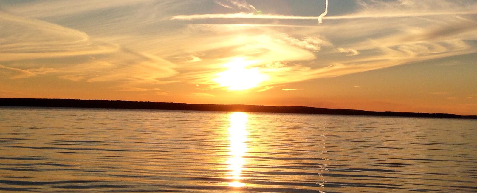
Mill Creek Park is a large, comfortable campground on the Sam Rayburn Reservoir, also known as Lake Sam Rayburn, tucked in the piney woods of southeast Texas. The lake and the surrounding Angelina National Forest, provide a welcoming home for bald eagles in winter. The rare red-cockaded woodpecker also resides in the forest here.

Recreation

Fishing at the reservoir is wildly popular, with frequent fishing tournaments. Catches include largemouth bass, crappie and catfish.

Birding is also big, with chances to see warblers, vireos and other migratory songbirds. A resident population of wood ducks remains in the forest throughout the year.

Facilities

The park features 110 campsites with water and electric hookups. There’s also a group shelter, boat ramp, designated swimming beach, a playground, and volleyball court for family entertainment.

Natural Features

The campground is on the southeast shores of Sam Rayburn Reservoir. The lake boasts over 114,000 surface acres, making it the largest man-made lake that’s completely located in Texas.

Nearby Attractions

From the eastern edge of the lake, hikers can embark on a 28-mile trail that heads east to the Toledo Bend Reservoir.

Reservation

More from CampingHiking.net:

COON CREEK GROUP CAMPGROUND, California Campground Images, Info & Reservations

Listen Directions From San Bernardino, take I-10 to the Alabama exit in Redlands, California. Turn onto Lugonio Avenue (Highway 38). Head northeast on Highway 38 for approximately 31 miles to Forest Route IN02. Continue for approximately 6 miles to the campground. Phone 909-866-8550 Activities CAMPING, FISHING, HIKING, WILDLIFE VIEWING Keywords

NORTH OVERLOOK PARK (KS), Kansas Campground Images, Info & Reservations

Listen Directions Take I-70 to exit 295, then 4.5 miles north to Hwy. 57, then east approximately 3.2 miles to park entrance. Phone 785-238-5714 Activities CAMPING, WILDLIFE VIEWING, SWIMMING SITE Keywords Related Link(s) Rec Area Info & Images Kansas State Tourism Kansas State Road Conditions Overview North Overlook Park is

HAWKER POINT, Missouri Campground Images, Info & Reservations

Listen Directions From Stockton, Missouri, take State Highway 39 south for 6.2 miles, turn left on Highway H and continue for 5.2 miles to the park entrance. Phone 417-276-7266 Activities BOATING, CAMPING, FISHING, VISITOR CENTER, WILDLIFE VIEWING Keywords HAWK,STOCKTON LAKE,STOCKTON LAKE Related Link(s) Rec Area Info & Images Missouri State

CABIN CREEK CAMPGROUND, Montana Campground Images, Info & Reservations

Listen Directions From West Yellowstone, travel 8 miles north on Highway 191, then 14 miles west on Highway 287. Phone 406-646-1012 Activities BIKING, CAMPING, FISHING, HIKING, HUNTING, WILDLIFE VIEWING, PHOTOGRAPHY, MOUNTAIN BIKING, BERRY PICKING, STAR GAZING, BIRDING, WATER ACCESS, BACKPACKING, MUSHROOM PICKING Keywords None Related Link(s) Rec Area Info &

PINEY BAY, Arkansas Campground Images, Info & Reservations

Listen Directions From London, Arkansas, take US-64 west for 3 miles to State Route 359 north. Continue for 3.5 miles and follow signs into the campground. Phone 479-885-3029 Activities BOATING, CAMPING, FISHING, DAY USE AREA, SWIMMING SITE Keywords PINB,DARDANELLE LAKE-ARK. RIV.NAV.,DARDANELLE LAKE Related Link(s) Rec Area Info & Images Arkansas