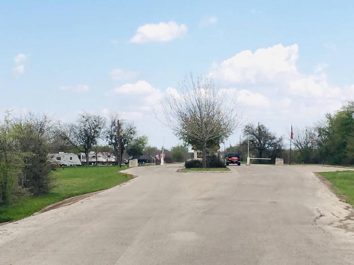
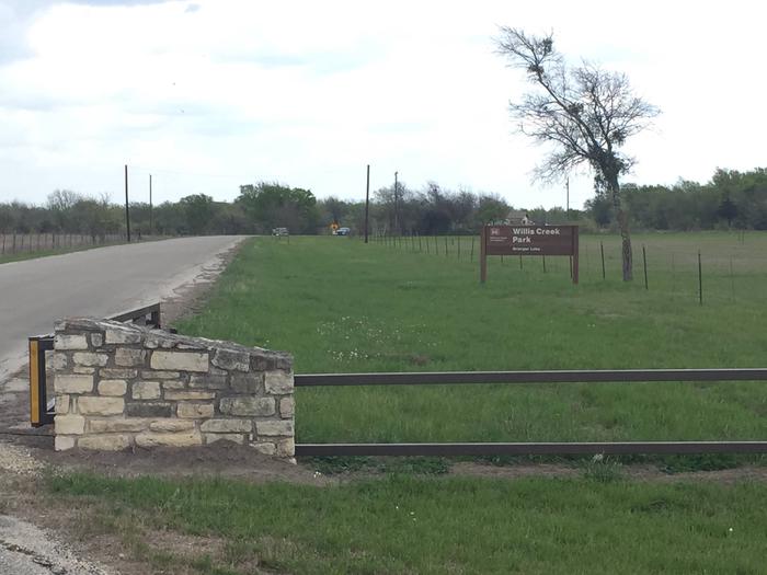
WILLIS CREEK, TX Campground Reservation, Info, Images, Map, Directions

WILLIS CREEK, Texas Campground Images, Info & Reservations

Listen

Directions

From Interstate 35, take Highway 95. Go north on Highway 95 to County Road 346. Turn right on County Route 346 and go 4 miles to the park entrance. Follow signs.

Phone

512-859-2668

Activities

CAMPING, FISHING, HORSEBACK RIDING, WATER SPORTS, SWIMMING SITE

Keywords

WILC,GRANGER LAKE,LAKE GRANGER,GRANGER LAKE

Related Link(s)

Rec Area Info & Images

Texas State Tourism

Texas State Road Conditions

Overview

Willis Creek is the ideal place for campers looking for a variety of accommodations. A group campground and five equestrian sites are available, in addition to a row of standard camping sites.

Granger Lake is a popular recreational destination, especially for boating and fishing. In fact, it’s one of the best lakes in the region for crappie and white bass fishing.

Recreation

Boating and fishing are the most popular activities for campers. Horseback riders have six trails to explore in the Willis Creek Equestrian Area, ranging from 1 to 5.5 miles in length.

Facilities

Equestrian sites do not have electric or water hookups. Standard sites are equipped with 20/30 electrical. Four of the standard sites are equipped with sewer drops at the campsites.

The group campsite fits 50 people and is equipped with water and 20 amp electric. No RV hookups are available at the group shelter.

Natural Features

Granger Lake, formed by a dam completed in 1980, is fed by the San Gabriel River and Willis Creek. The campground sits on the Willis Creek arm of the lake.

The maximum surface area of the lake is 11,000 acres and the shoreline is surrounded by the gently rolling hills of the Texas Blackland Prairie.

Nearby Attractions

The Pecan Grove Wildlife Area, San Gabriel Wildlife Area, Sore Finger Wildlife Area, and Willis Creek Wildlife Area border the lake. Bring binoculars for birding opportunities.

Reservation

More from CampingHiking.net:

ANDERSON ROAD, Tennessee Campground Images, Info & Reservations

Listen Directions From downtown Nashville, TN, take I-40 east for 5 miles to exit 219. Turn right on Stewarts Ferry Pike and continue straight on Bell Road for 5 miles. Turn left on Smith Springs Road, then left on Anderson Road. The campground is ahead about 1 mile on the

SAN AUGUSTINE, Texas Campground Images, Info & Reservations

Listen Directions From Pineland, TX, take FM 83 west 6 miles, then south on FM 1751 for 4 miles to the park entrance. Phone 409-384-5716 Activities BOATING, CAMPING, FISHING, HUNTING, SWIMMING SITE Keywords SATX,SAM RAYBURN RESERVOIR,SAM RAYBURN LAKE,SAN AUGUSTINE PARK,SAM RAYBURN RESERVOIR Related Link(s) Rec Area Info & Images Texas

TYEE CAMPGROUND, Oregon Campground Images, Info & Reservations

Listen Directions From Florence, OR, travel south on Highway 101, six miles to Pacific Avenue. Turn left on Pacific Avenue and travel approximately 100 feet. Campground is located on the right (south) side of Pacific Avenue. Phone 541-271-6000 Activities BOATING, CAMPING, FISHING, HIKING, WILDLIFE VIEWING Keywords TYEE,OREGON DUNES,SIUSLAW NF –

Indian Creek (WA), Washington Campground Images, Info & Reservations

Listen Directions From Yakima, travel 37 miles west on Highway 12 (White Pass Highway) to the campground entrance, about 16 miles west of the junction of 12 and 410. From Packwood, travel east on Highway 12. The campground is about 20 miles east of White Pass. Phone 541-338-7869 Activities BIKING,

WILLOW PRAIRIE HORSECAMP, Oregon Campground Images, Info & Reservations

Listen Directions From Butte Falls, take County Road 821 (Butte Falls-Fish Lake Highway) approximately 17 miles southeast to Forest Road 3738. Turn west (right) on Forest Road 3738 and drive 1.3 miles to where Forest Road 3738 intersects Forest Road 3735. Turn left onto Forest Road 3735 and you will