

Directions
From Fresno, California, go east on Highway 180 to the Kings Canyon National Park entrance. Take a right at the Generals Highway, traveling approximately 10 miles south to Stony Creek Campground.
Phone
559-335-2232
Activities
CAMPING, DAY USE AREA
Keywords
STCR,GIANT SEQUOIA NAT. MONUMENT,STONEY CREEK SEQUOIA,SEQUOIA NF – FS
Related Link(s)
California State Road Conditions
Overview
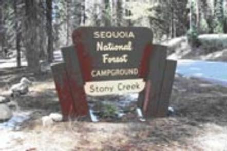
Stony Creek Campground sits on the northern side of Hume Lake, about 18 miles from the shore, set amidst Sequoia and jeffrey pines and at an elevation of 5,250 feet.
Recreation
Hume Lake is a popular recreation destination where visitors can enjoy trout fishing, non-motorized boating, hiking, mountain biking and off-road vehicle riding.
Visitors can hike the Jennie Lake Trail. The trailhead to the 4-mile trail is across the street in the Upper Stony Creek campground.
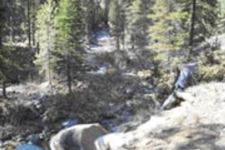
Several creeks also run near the campground, offering additional fishing and wading opportunities.
Facilities
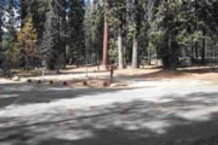
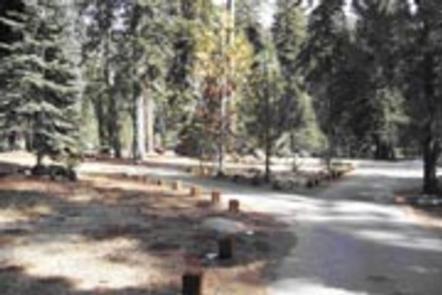
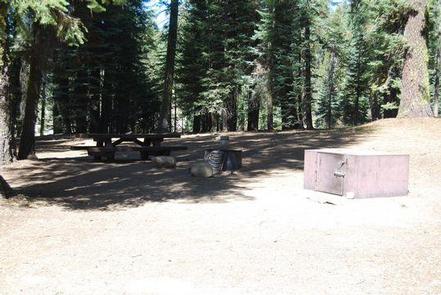
Stony Creek offers nearly 50 reservable campsites, spread out along the creek. Vault toilets, drinking water and an amphitheater are available at the campground.
This facility is operated by Sequoia Recreation, a division of California Land Management and comments are welcome; comment forms are available from campground hosts or online.
Natural Features
The Sequoia National Forest, located at the southern end of the Sierra Nevada in central California, takes its name from the giant sequoia, the world’s largest tree, which grows in more than 30 groves on the Forest’s lower slopes.
The Forest comprises about 1.1 million acres, and elevations range from about 1,000 to 12,000 feet, creating precipitous canyons and mountain streams with spectacular waterfalls such as Salmon Creek Falls and Grizzly Falls.
Built to support a large commercial logging operation, Hume Lake supplied water to the longest lumber flume transporting logs to the Central Valley.
Nearby Attractions
Day trips to Kings Canyon National Park, Sequoia National Park, Giant Sequoia National Monument, Boyden Caverns and General Grant Grove are popular among visitors.
Bearskin Grove offers the rare opportunity to photograph an entire mature sequoia in one frame. Hiking through the grove visitors will find a mix of young and old sequoias, many measuring more than 6 feet in diameter.
The Giant Sequoia Mercantile offers a wide variety of books, maps, gifts, local art, camping supplies and other merchandise.