LONG MEADOW GROUP, CA Campground Reservation, Info, Images, Map, Directions

LONG MEADOW GROUP, California Campground Images, Info & Reservations

Directions

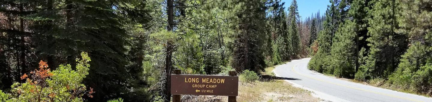
From Highway 99 turn east on J22. Travel on J22 through California Hot Springs to the "T" intersection, turn left on M50. Travel on M50 for 10 miles to the next left turn at M107. Travel on M107 approximately 6 miles to the entrance to Long Meadow on the right.

Phone

559-539-5230

Activities

CAMPING, HIKING

Keywords

LONM,GIANT SEQUOIA NATIONAL MONUMEN,SEQUOIA NF – FS

Related Link(s)

Rec Area Info & Images

Forest Service Concessionaire

California State Tourism

California State Road Conditions

Overview

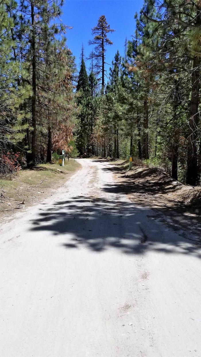
Long Meadow Group Campground is a remote facility within Sequoia National Forest, in the southern portion of Giant Sequoia National Monument. The area is named for the giant sequoia, the world’s largest tree, which grows in more than 30 groves on the forest’s lower slopes.

Recreation

Touring the Sequoia National Monument is the area’s most popular activity. Hikers enjoy the Trail of a Hundred Giants as it wanders through the Long Meadow Giant Sequoia Grove. Other points of interest within the southern section include the Belknap Grove and the Freeman Grove

The northern portion of the monument is a short drive away, where visitors can view the Boole Tree, which is the largest tree on the National Forest system. Indian Basin Grove is also located in this area.

Facilities

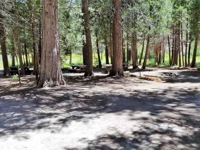
The group campground is configured for up to 36 people and up to 5 vehicles. No hookups are available. Vault toilets are provided. This is a remote facility with no nearby conveniences.

Natural Features

Sequoia National Forest comprises about 1.1 million acres. Elevations range from about 1,000 to 12,000 feet, creating precipitous canyons and mountain streams with spectacular waterfalls such as Salmon Creek Falls and Grizzly Falls.

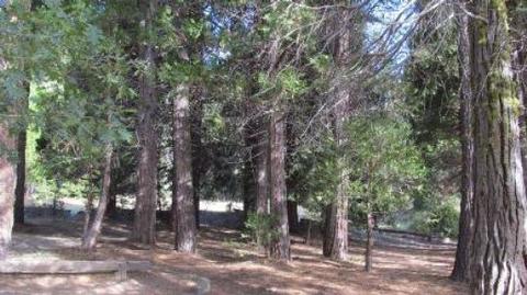
The campground sits at an elevation of 6,400 feet, near trails that wind through giant sequoia groves, climb up mountains and meander along wild rivers.

Nearby Attractions

Sequoia National Monument offers numerous hiking trails through scenic sequoia groves.

The Giant Sequoia Mercantile offers a wide variety of books, maps, gifts, local art, camping supplies and other merchandise that will serve to make trips to the monument more memorable.

Reservation

More from CampingHiking.net:

IVES RUN, Pennsylvania Campground Images, Info & Reservations

Directions The campground is located 4 miles south of Tioga and 12 miles north of Wellsboro, Pennsylvania, on State Route 287, within the Ives Run Recreation Area. Phone 570-835-5281 Activities BOATING, CAMPING, FISHING, HIKING, HUNTING, VISITOR CENTER, DAY USE AREA, SWIMMING SITE Keywords IVES,TIOGA-HAMMOND LAKES,TIOGA-HAMMOND LAKE Related Link(s) Rec Area

ROCKY POINT(WRIGHT PATMAN DAM), Texas Campground Images, Info & Reservations

Directions From Texarkana, take Highway 59 south to Wright Patman Lake. Just south of the Sulphur River Dam, turn right into the park area, following entrance signs. Rocky Point is just south of Piney Point Park. Phone 903-796-2419 Activities CAMPING, FISHING, HIKING, HUNTING, SWIMMING SITE Keywords ROP2,WRIGHT PATMAN LAKE,ROCKY POINT,ROCKY

BIG COON CREEK, Arkansas Campground Images, Info & Reservations

Directions From Gillham on Hwy 71, go east on Tower Rd. for 1.3 miles; Turn left onto Gillham Lake Rd. for 4.3 miles; Turn left onto Polk Road 474 for 1.7 miles. Phone 870-385-7126 Activities BOATING, CAMPING, FISHING, HIKING, HUNTING, SWIMMING SITE Keywords BIGC,GILLHAM LAKE,GILLHAM LAKE Related Link(s) Rec Area Info

LUNCH PEAK LOOKOUT, Idaho Campground Images, Info & Reservations

Directions From Sandpoint take Hwy 200 east 12 miles to Trestle Creek Road; turn left onto Trestle Creek Road #275 and go 12 miles to Lunch Peak Road #1091; turn left onto Road 1091 and go 4 miles to the lookout. Phone 208-263-5111. WEEKDAYS 8:00AM TO 4:30PM. CLOSED ON WEEKENDS.

GUNTER HILL, Alabama Campground Images, Info & Reservations

Directions From I-65, take exit 167 onto US-80 west. Continue for 9 miles, then turn right on County Road 7 and follow signs into the campground. Phone 334-269-1053 Activities BIKING, BOATING, CAMPING, FISHING, HUNTING Keywords GUNT,JONES BLUFF,ALABAMA RIVERS,WOODRUFF,ROBERT F. HENRY,ROBERT F HENRY,ALABAMA RIV. – WO Related Link(s) Rec Area Info