

Directions
From Sandy, travel 62 miles east on Highway 26, then continue 1 mile west through the Sno-Park on Forest Road 2610.
Phone
503-630-5721
Activities
BIKING, BOATING, CAMPING, FISHING, HIKING, WILDLIFE VIEWING, SWIMMING SITE
Keywords
FROG,MT. HOOD NF – FS
Related Link(s)
Overview
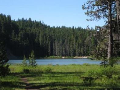
Frog Lake Campground is a beautiful and somewhat rustic campground on Frog Lake. It provides access to enjoyable outdoor activities, including fishing and leisurely canoeing on the calm, mountain lake.
Recreation
Frog Lake covers 10 acres and is open to fishing, swimming, canoeing and non-motorized boating. Anglers can expect a catch of rainbow trout. Picnicking is available at the campground’s day use area, which provides access to the boat ramp.
A hiking trail leads east, up Frog Lake Buttes, as does an unimproved forest road, which is open to mountain biking and high-clearance off-road vehicles. The Pacific Crest National Scenic Trail passes just north of the campground, off Forest Road 2610.
Facilities
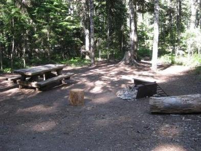
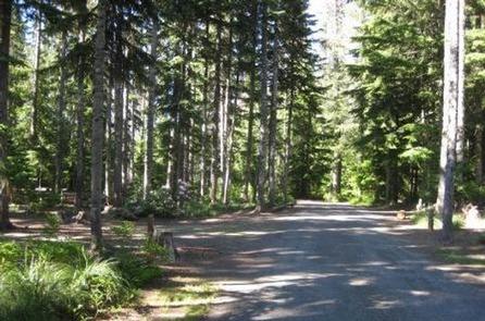
The campground offers nearly three dozen single-family sites for tent and RV camping, though RVs over 22 feet are not recommended. Utility hookups are not available. Parking surfaces are gravel and dirt and may be irregular in shape.
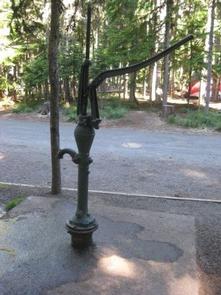
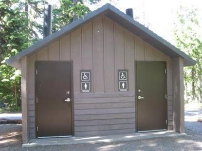
Each site is equipped with a table and campfire ring with grill. Accessible vault toilets and drinking water are provided throughout the campground. Firewood is available for purchase from the campground host.
Natural Features
The campground is located between the highway and Frog Lake at an elevation of 3,800 feet, just past the town of Government Camp in Mt. Hood National Forest. The small campground is situated in a heavily forested area, where the sounds of frogs are heard at night.
Nearby Attractions
The Sno-Park at Frog Lake is about 12 miles east of Government Camp. It provides trail access to Twin Lakes and Frog Lake Butte. The latter trail is closed to snowmobiles during February.