
Directions
From Estacada, travel east on Highway 224 for 26 miles, then turn right on Road 46 and continue for 5 miles. Turn onto Road 63 and continue for 4 miles. Turn onto Road 70 and continue about 2 miles to the campground.
Phone
503-630-5721
Activities
BIKING, CAMPING, FISHING, HIKING, WATER SPORTS, WILDLIFE VIEWING
Keywords
KIN1,MT. HOOD NF – FS,Flaming Gorge National Recreation Area
Related Link(s)
Overview
Kingfisher Campground is a diamond in the rough. Its unkempt appearance gives it a true nature feel, yet it offers numerous modern conveniences and is close to a variety of recreational opportunities. It lies next to the scenic Hot Springs Fork of Collawash River, a tributary to the Wild and Scenic Clackamas River nearby.
Recreation
Catch and release fishing for trout is allowed on the main fork of the Collawash, but the streams are closed to fishing. Whitewater rafting and kayaking are popular activities in the area. At least one 5-mile stretch of the more than 17-mile river boasts class III-IV whitewater.
Visitors enjoy hiking in the Bull of the Woods Wilderness, which is south of the campground and offers numerous trailheads. Several primitive forest roads nearby are open to mountain biking. The Cascades Scenic Byway, which follows the Clackamas River, is not far from the campground.
Facilities
The campground offers nearly two dozen single-family sites for tent and RV camping. RVs larger than 19 feet, however, may have difficulty negotiating tight turns within the campground. No utility hookups are available. Parking surfaces are either paved or gravel.
Each site is equipped with a table and campfire ring with grill. Accessible vault toilets and drinking water are provided. Firewood is available for purchase at the campground.
Natural Features
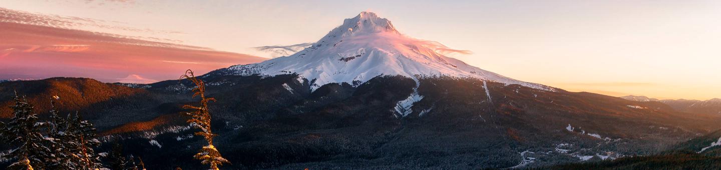
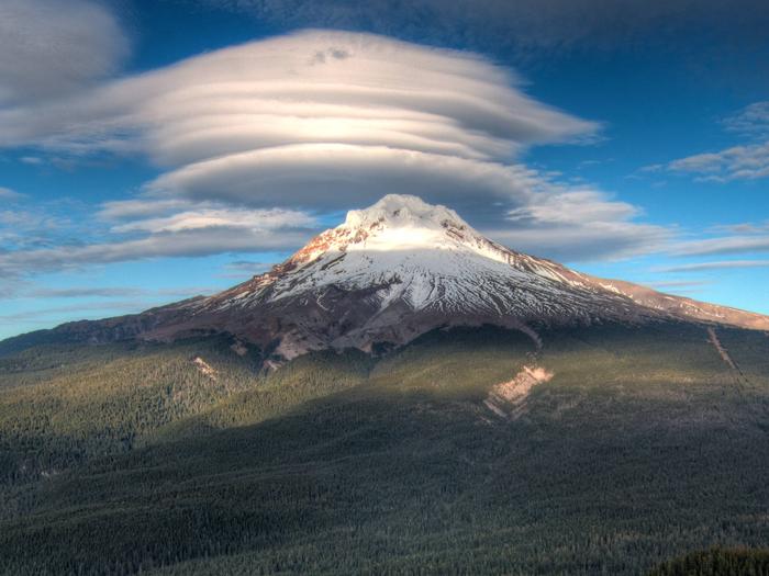
The campground is located in the Mt. Hood National Forest along the banks of the Hot Springs Fork of Collawash River, just north of the Bull of the Woods Wilderness. It is situated in a mixed evergreen forest at an elevation of about 1,250 feet. A variety of birds and wildlife make their homes in the area.
Nearby Attractions
Kingfisher Campground is at the center of the Mt. Hood National Forest, where a variety of tourist attractions and historic sites draw thousands of visitors every year. A map of the area can be found at the Ripplebrook Camp Store about 9 miles north of the campground.
Bagby Hot Springs is located about 5 miles southwest of the campground. A popular site for soaking and relaxing, the springs are in a heavily wooded area. The available bathhouses are fed by three major hot water springs and several minor outlets in the area. A historic guard station was built there in 1913.
The city of Estacada is 35 miles northwest of the campground, with a variety of dining and shopping options, groceries and fuel.