Alpine Meadows Campground, CA Campground Reservation, Info, Images, Map, Directions

Alpine Meadows Campground, California Campground Images, Info & Reservations

Directions

From State Highway 267, turn onto Martis Dam Road. Continue on Martis Dam Road for approximately 1.2 miles. Tur miles. Turn right a 0.2 miles to the campground entrance. You have now arrived at the entrance to Alpine Meadows Campground. 

Phone

(530) 587-8113

Activities

BIKING, CAMPING, FISHING, PICNICKING, WILDLIFE VIEWING, PHOTOGRAPHY, RANGER STATION, KAYAKING, CANOEING, BIRDING, NON-MOTORIZED BOATING, AMPHITHEATER

Keywords

Related Link(s)

Rec Area Info & Images

Martis Creek Lake Website

Overview

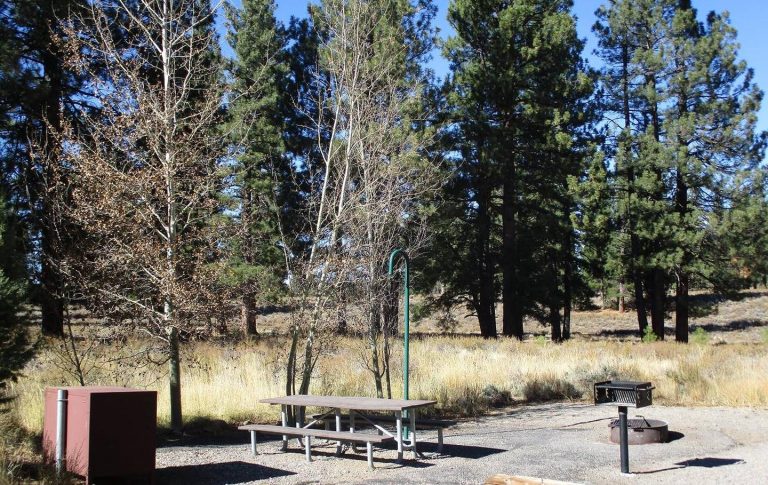
Located close to Lake Tahoe, Truckee, and Reno, Martis has a beautiful, peaceful campground off the beaten path. Martis Creek area features hiking, biking, canoeing, kayaking, and catch and release trout fishing.

Recreation

Fishing, kayaking, canoeing, walking, bicycling, picnicing. And of course camping.

Facilities

Vault toilets, potable water available at campground entrance, ampitheater.

Natural Features

Mountains, alpine valley, pine trees, lake, wild animals.

Nearby Attractions

Lake Tahoe, Truckee, Northstar, Reno, Virginia City

Charges & Cancellations

As per Recreation.gov policy.

Reservation

More from CampingHiking.net:

DRY WOLF CABIN, Montana Campground Images, Info & Reservations

Directions From Stanford, Montana, go a mile northwest on US 87, then turn left on County Road 251 (Dry Wolf Road). Continue for 15 miles and look for a sign to Dry Wolf Station. Turn left onto short parking spur of the cabin site. Phone 406-236-5511 OR 406-566-2292 Activities BIKING,

TELEGRAPH PICNIC PAVILION, Virginia Campground Images, Info & Reservations

Directions From Washington, D.C., and points north, take I-95 south to exit 150-B toward VA Route 619/Joplin Road. The park entrance is the second right. The Telegraph Picnic Area is located behind the visitor center, approximately 1.5 miles from the park entrance. From Fredericksburg, Virginia, and points south, take I-95

WINDY GROUP CAMP, Oregon Campground Images, Info & Reservations

Directions Take Highway 58 approximately 8 miles east of Willamette Pass to the Crescent Lake Junction. Turn west on Forest Road 60 and continue approximately 7 miles to the campground. Phone 541-323-1746 Activities BOATING, CAMPING, FISHING, HIKING, SWIMMING SITE Keywords WING,DESCHUTES NF – FS Related Link(s) Rec Area Info &

TUFF CAMPGROUND, California Campground Images, Info & Reservations

Directions From Mammoth Lakes or Bishop, California: Take U.S. Highway 395 to the Owens Gorge Road exit at Tom’s Place (25 miles north of Bishop and 13 miles south of Mammoth Lakes). Drive 200 yards east to the gravel road and continue north a short distance to the campground along

MONOCLE LAKE, Michigan Campground Images, Info & Reservations

Directions 12600 E Lakeshore Drive Brimley Michigan 49715 From Bay Mills, travel west on County Road 42 (Whitefish Bay Scenic Byway) for approximately half a mile, then turn south on Forest Road 3699 to the campground entrance. Phone 906-203-9872 Activities BOATING, HISTORIC & CULTURAL SITE, CAMPING, FISHING, HIKING, WATER SPORTS,