FAWN LAKES CAMPGROUND, NM Campground Reservation, Info, Images, Map, Directions

FAWN LAKES CAMPGROUND, New Mexico Campground Images, Info & Reservations

Directions

From Red River, drive approximately 3 miles west on NM-38.

Phone

435-245-6521

Activities

CAMPING, FISHING, HIKING, HOTEL/LODGE/RESORT PRIVATELY OWNED

Keywords

CARSON NF- FS,Carson National Forest

Related Link(s)

Rec Area Info & Images

Forest Service Concessionaire

New Mexico State Road Conditions

New Mexico State Tourism

Overview

Fawn Lakes Campground is located in Carson National Forest, one of a few campgrounds located along the scenic canyons of Red River. Visitors enjoy fishing and exploring nearby hiking trails.

Recreation

Located between Questa and Red River, many activities such as hiking and fishing are available to visitors either at the campground or a short drive away. There is fishing access for Red River and to the nearby small lakes. Columbine Trailhead is within 4 miles and starts at Columbine Campground.

Facilities

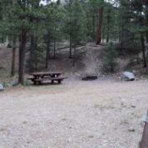
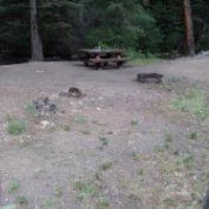
The campground contains 18 family overnight sites, of which three are tent-only sites. Vault toilets and drinking water are provided. Firewood is available for purchase from the host.

Natural Features

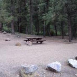
The Red River runs adjacent to the campground. Two small fishing lakes are within a short walk from the campground. The surrounding mountains comprise a beautiful forest of ponderosa pine that blankets the campground and offers partial shade.

Nearby Attractions

The City of Red River is about 3 miles away, with groceries, gas, showers, laundry facilities and a café. An RV dump station is within 1 mile of the campground.

Reservation

More from CampingHiking.net:

JEFFERSON RIDGE, Arkansas Campground Images, Info & Reservations

Directions From Dierks, Arkansas, travel 5 miles west on US-70, then 5 miles north on Green Chapel Road. Follow signs into campground. Phone 870-286-3214 Activities BOATING, CAMPING, FISHING, HIKING, HUNTING, WILDLIFE VIEWING, SWIMMING SITE Keywords JEFR,DIERKS LAKE,DIERKS LAKE Related Link(s) Rec Area Info & Images Arkansas State Tourism Arkansas State

EAST ASHTABULA CROSSING, North Dakota Campground Images, Info & Reservations

Directions The main route to the park is via Interstate 94 to Valley City exit 292. Follow the signs through Valley City and follow County Road 21 north for 15 miles. Phone 701-845-2970 Activities CAMPING, HIKING, PICNICKING, SWIMMING SITE Keywords ASHT,THE CROSSING,CROSSINGS,LAKE ASHTABULA Related Link(s) Rec Area Info & Images

Dub Patton Recreation Area, Mississippi Campground Images, Info & Reservations

Directions From I-55 take the Coldwater, Mississippi, exit and proceed west on Scenic Route 304. Follow the signs to the camping area, which is located just north of the dam. Phone 662-562-6261 Activities BIKING, BOATING, CAMPING, FISHING, HIKING, HUNTING Keywords DUBP,ARKABUTLA LAKE,NORTH ABUTMENT,ARKABUTLA STATE PARK,ARKABUTLA LAKE Related Link(s) Rec Area

RAINBOW POINT CAMPGROUND, Montana Campground Images, Info & Reservations

Directions From West Yellowstone, travel 5 miles north on Highway 191. Turn west (left) onto Rainbow Point Road (Forest Road 6954) and travel 3 miles, then 2 miles north (right) on Rainbow Point Road, after the intersection. Phone 406-646-1012 Activities BIKING, BOATING, CAMPING, FISHING, HIKING, WILDLIFE VIEWING, DAY USE AREA,