
Directions
From Waurika, Oklahoma, take Highway 5 northwest for 5 miles. Turn right onto Advent Road and proceed 3 miles. Turn left on Chisholm Trail Road and drive one mile to the park entrance.
Phone
580-439-8040
Activities
BOATING, CAMPING, FISHING, SWIMMING SITE
Keywords
CHIS,WAURIKA LAKE,WAURIKA LAKE
Related Link(s)
Oklahoma State Road Conditions
Overview
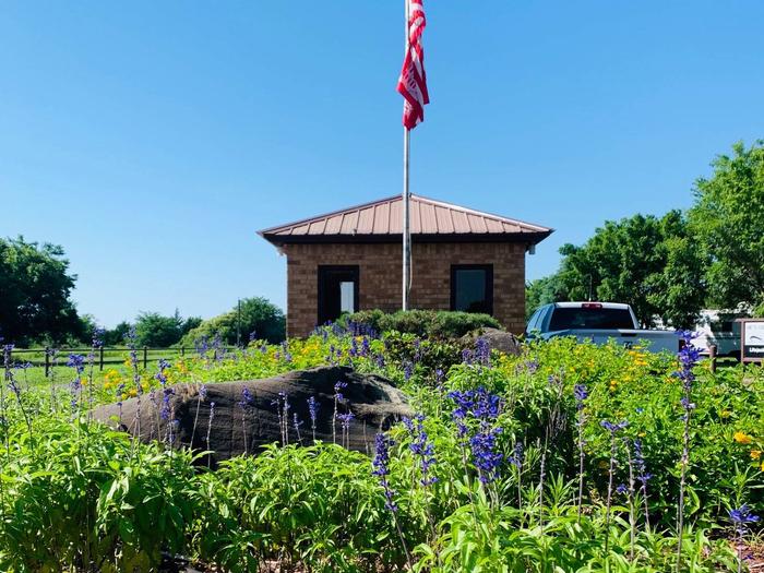
Chisholm Trail Ridge Park lies along the scenic shore of Waurika Lake in the Great Plains Region of southern Oklahoma. The area offers many recreation activities, including fishing, boating and hunting.
Waurika Lake encompasses 10,100 acres of water and about 12,000 acres of land, which provide ample space for visitors to enjoy the outdoors. It is about six miles northwest of the city of Waurika and lies in portions of Jefferson, Cotton and Stephens Counties.
This facility is named after the Chisholm Trail, a trail used to transport cattle from Texas ranches to Kansas railroads in the late 1800s.
Recreation
Waurika Lake provides excellent opportunities for fishing and hunting. Anglers seek out channel and flathead catfish, largemouth bass, white bass, hybrid striper, crappie, walleye and sunfish.
Approximately 6,040 acres of land around the lake are managed for game. Sought-after species include white-tailed deer, bobwhite quail, mourning dove, wood duck, mallard, pintail, teal, canvas back, cottontail rabbits and wild turkey.
Boating and skiing enthusiasts play on the large areas of open water and along the the scenic shoreline. There are four large embayments and a number of smaller coves that make boating on the lake a pleasure.
Facilities
Chisholm Trail Ridge has 95 campsites that all feature electric and accessible water hookups.
Families with children enjoy the open space, playground and swimming areas. Boaters have the convenience of an accessible dock and boat ramp.
Natural Features
The large shade trees, gently sloping shoreline and expansive lakefront views of the horizon invite the visitor to relax and take in the scenery. Grassland prairies, farms and forests surround the lake area.
Wildlife such as white-tail deer, ducks, rabbits and wild turkey graze the landscape.
Nearby Attractions
Additional services and supplies are available in Waurika, Oklahoma.