
Directions
From I-55 take the Coldwater, Mississippi, exit and proceed west on Scenic Route 304. Follow the signs to the camping area, which is located just north of the dam.
Phone
662-562-6261
Activities
BIKING, BOATING, CAMPING, FISHING, HIKING, HUNTING
Keywords
DUBP,ARKABUTLA LAKE,NORTH ABUTMENT,ARKABUTLA STATE PARK,ARKABUTLA LAKE
Related Link(s)
Mississippi State Road Conditions
Overview
Dub Patton Recreation Area sits along Arkabutla Lake and Dam in the hills of northwest Mississippi. The dam project is on the Coldwater River and offers some of the best sailing east of the Mississippi River.
Recreation
Families come to Arkabutla Lake to enjoy the great outdoors by fishing, boating, swimming, hiking, and biking.
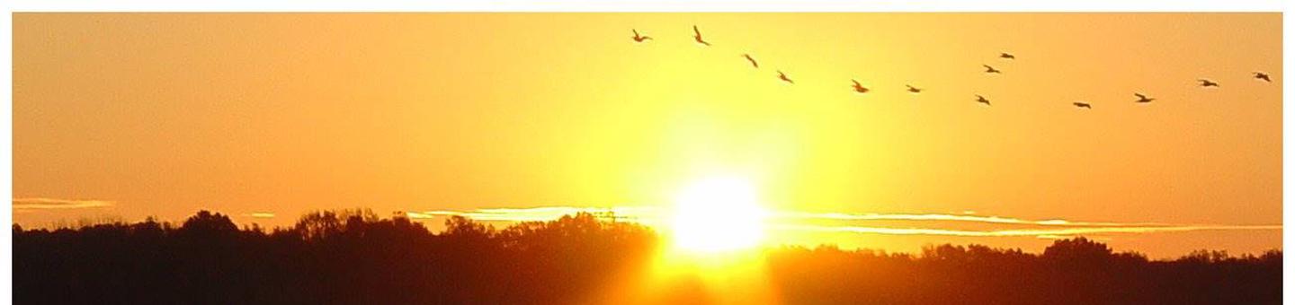
Wildlife management areas around Arkabutla Lake boast a combined 30,000 acres of public hunting lands where whitetail deer, wild turkeys, quail and waterfowl roam.
Several trails wind around the lake and throughout the nearby landscape. The Coldwater River Nature Trail System encompasses two hiking trails as well as an interpretive trail that helps educate hikers on the wildlife and ecosystem. The Swinging Bridge Nature Trail is also nearby, and includes a section of land that was part of the river prior to the dam being built. This trail is also an interpretive educational trail.
Thousands of people each year visit Arkabutla Lake to go fishing. The lake is home to several species of native fish to Mississippi waters, such as largemouth bass, bream, catfish and crappie.
Facilities
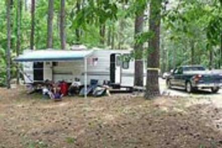
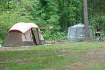
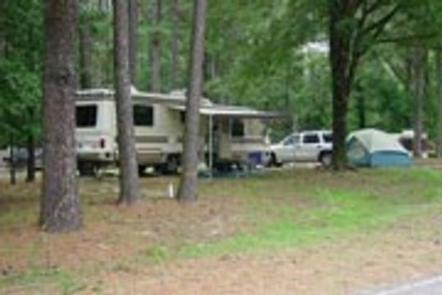
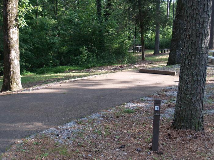
This year-round campground offers 59 family sites and two group day-use shelters, all with electric hookups. Amenities include flush toilets, showers and drinking water, creating a comfortable camping experience for guests.
Natural Features
The campground is situated on the waterfront, among rolling hills forested with a shady mixture of oak, hickory, beech, sweet gum and birch trees.
Nearby Attractions
The Lost Indian Spring Disc Golf Course is just below the Arkabutla Dam near Pratt Road. The course has 18 holes and is free to the public.
The Senatobia Wetlands project is just a 30-minute drive from the park. It provides visitors with educational displays and an area to observe wildlife and waterfowl.
Charges & Cancellations
Once your reservation has been created, there will be a $10.00 fee to cancel and a $10.00 fee to change your site or dates. Cancellations made the day before, or up to the day after your arrival date will also be charged the first nights use fee. No-shows are charged a $20.00 fee plus the first nights use fee. If your reservation is for 1 night, and you have been charged the first nights use fee, there is no $10.00 service fee.