ISLAND PARK, CA Campground Reservation, Info, Images, Map, Directions

ISLAND PARK, California Campground Images, Info & Reservations

Directions

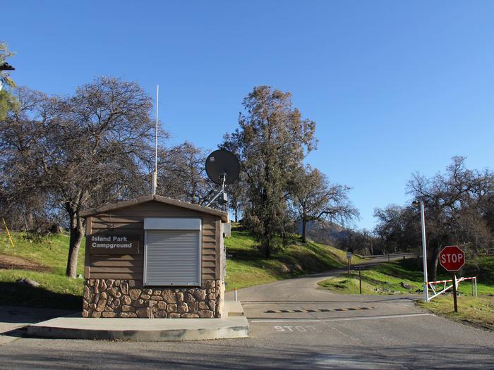
From Fresno, California, travel east on Highway 180/Kings Canyon Highway to Academy Avenue. Turn left onto Academy Avenue, and then turn right on Belmont Avenue. Continue traveling for approximately 20 miles; the entrance to Island Park Recreation Area is on the right. NOTE: Belmont Avenue becomes East Trimmer Springs Road approximately 6 miles east of the Academy Avenue intersection.

Phone

559-787-2589

Activities

BOATING, CAMPING, FISHING, WATER SPORTS, DAY USE AREA

Keywords

PAR2,PINE FLAT,PINE FLAT LAKE,ISLAND COVE,COVE ISLAND,PINE FLAT LAKE,Islandpark,Island Park

Related Link(s)

Rec Area Info & Images

California State Road Conditions

California State Tourism

Overview

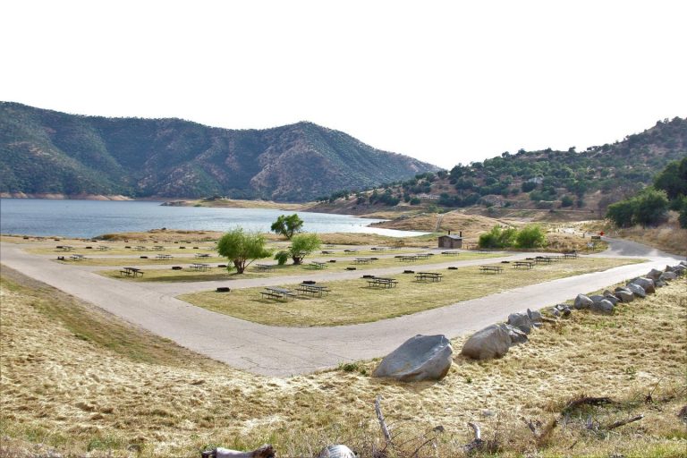
Island Park Recreation Area is the place to go for campers looking for lots of exciting water activities at Pine Flat Lake. The area has plenty of campsites plus two group sites and a day-use area for boaters.

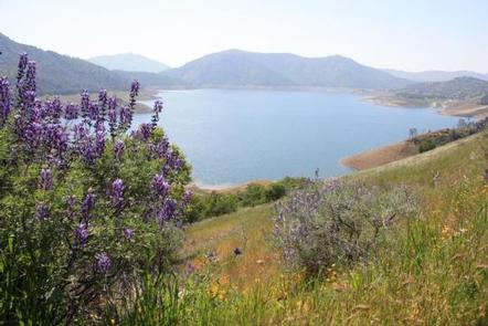
Pine Flat Lake spans 20 miles in length with 67 miles of shoreline. The lake, formed in 1954 with the completion of the Pine Flat Dam, is used for flood control and irrigation as well as a recreation oasis for the area. Wildlife spotting opportunities include bobcats and red-tailed hawks.

Recreation

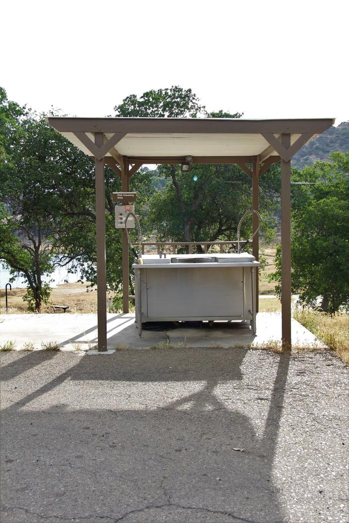
Boating, jet skiing and fishing are some of the most popular activities at the lake. Anglers can find small and large-mouthed bass, spotted bass and rainbow trout.

Families enjoy strolling on the Blue Oak Trail, a quarter-mile interpretive trail that’s accessible from the campground.

Facilities

Most campsites are non-electric, but 25 sites have electric hookups, and five of those sites have water hookups. There is one site that meets accessibility standards and is available as first come, first served. Day-use visitors have access to a boat ramp and vault toilets. All campers have access to flush toilets.

Group campground reservations include the use of a horseshoe pit and volleyball court.

Natural Features

Pine Flat Lake is situated where oak and pine meet in the foothills of the central Sierra Nevada Mountains. It’s in Kings Canyon at the western edge of the Sequoia and Kings Canyon National Parks.

At full capacity, the lake holds a million acre-feet of water, which is fed by the Kings Canyon watershed.

Nearby Attractions

From the campground, head upstream on Kings River to find superb whitewater rafting in spring and early summer.

Scenic drives through Sierra National Forest and Kings Canyon National Park never cease to impress visitors.

Reservation

More from CampingHiking.net:

CANTON CREEK CAMPGROUND, Oregon Campground Images, Info & Reservations

Directions From Roseburg, Oregon, travel east on OR-138 (North Umpqua Highway) for 39 miles to Steamboat Creek Rd., Forest Road 38 and turn left. Canton Creek Campground is 1/4 mile on the right. Phone 541-496-3532 Activities BIRDING Keywords Related Link(s) Rec Area Info & Images Oregon State Road Conditions Oregon

BARANOF LAKE CABIN, Alaska Campground Images, Info & Reservations

Directions Accessible June through October. Located 20 air miles from Sitka on the east side of Baranof Island, west of Warm Springs Bay. Access by floatplane from Sitka, 25 minutes in clear weather. For geographic features surrounding cabin, refer to USGS topographic map Sitka A-3. Phone 907-747-6671 Activities CAMPING, FISHING

Agua Piedra Campground, New Mexico Campground Images, Info & Reservations

Directions From Las Vegas, New Mexico, take State Highway 518 approximately 51 miles to the Agua Piera Campground. From Penasco, New Mexico, travel east on State Route 75 about 5 miles, to an intersection. Turn right, onto State Route 518 (unmarked) and continue about 7 miles to campground entrance. From

COTTONWOOD CAMPGROUND (WA), Washington Campground Images, Info & Reservations

Directions From Naches, take Highway 410 northeast 22.5 miles to milepost 99.5. Phone 541-338-7869 Activities CAMPING, FISHING, HIKING, WATER SPORTS Keywords CTWD,OKANOGAN – WENATCHEE NF -FS,COTTONWOOD,COTTONWOOD CAMPGROUND Related Link(s) Rec Area Info & Images Washington State Tourism Washington State Road Conditions Forest Service Concessionaire Overview Cottonwood Campground is located along

DONALDSON PARK, Tennessee Campground Images, Info & Reservations

Directions From Celina, TN (Highway 52), travel East Lake Avenue. Turn onto Jefferson Street. Follow signs into the park. Phone 931-243-3136 Activities BOATING, FISHING, PICNICKING, DAY USE AREA, PHOTOGRAPHY, KAYAKING, CANOEING, WATER ACCESS Keywords DONA,CELINA PARK,DALE HOLLOW LAKE,DALE HOLLOW,DONALDSON,CORDELL HULL DAM Related Link(s) Rec Area Info & Images Tennessee State

INDIAN CREEK CAMPGROUND, Arkansas Campground Images, Info & Reservations

Directions From Eureka Springs, Arkansas, take Highway 62 West and travel 15.3 miles. Turn left on Indian Creek Road and follow to the park. Phone (479) 656-3145 Activities CAMPING, HIKING, HUNTING Keywords None Related Link(s) Rec Area Info & Images Arkansas State Road Conditions Arkansas State Tourism Overview Indian Creek