LITTLE RIVER PARK, OK Campground Reservation, Info, Images, Map, Directions

LITTLE RIVER PARK, Oklahoma Campground Images, Info & Reservations

Listen

Directions

From Broken Bow, OK, take Highway 3 west 23 miles to the park entrance. Turn south at the sign and follow the access road.

Phone

580-876-3720

Activities

BOATING, CAMPING, FISHING, HIKING, PICNICKING, DAY USE AREA, SWIMMING SITE, WATER ACCESS

Keywords

LIRP,PINE CREEK LAKE,PINE CREEK LAKE

Related Link(s)

Rec Area Info & Images

Oklahoma State Road Conditions

Oklahoma State Tourism

Overview

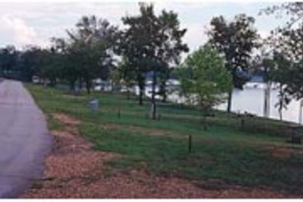
Little River Park is located on the shores of Pine Creek Lake. It boasts beautiful views of the water along with many recreational opportunities. The swimming beach and hiking trail are popular places within the site, and the lake is great for canoeing and fishing.

Recreation

Popular activities include swimming, fishing, picnicking, hiking and boating. A hiking trail is accessible from the campground.

Facilities

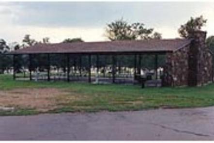
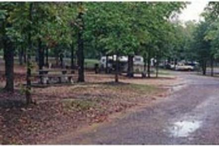
Little River Park offers numerous campsites, many of which have electric and water hookups with a few having sewer hookups. The group camping shelter comes with five electric hookups. Additional amenities include 3 showers, two dump stations, a playground and 2 boat ramps.

Natural Features

Pine Creek Lake lies in the southeast corner of Oklahoma, at the edge of the Ouachita Mountains. The lake spans 3,750 acres with 74 miles of shoreline. Hardwood/Pine forests surround the lake.

Nearby Attractions

Beavers Bend and Raymond Gary State Parks are within driving distance. Also, the historic ruins of Fort Towson, a confederate command post that was built in 1824, are interesting as well.

Reservation

More from CampingHiking.net:

MOLINO, Arizona Campground Images, Info & Reservations

Listen Directions From Tucson, Arizona, take Catalina Highway off Tanque Verde Road in Tucson. Drive 4.2 miles northeast to the Coronado National Forest boundary and continue 5.7 miles to the campground. The campground is between mileposts 5 and 6. All campsites are adjacent to paved roads. Phone 520-749-8700 Activities BIKING,

APPLETON COVE CABIN, Alaska Campground Images, Info & Reservations

Listen Directions Accessible from Sitka year round, weather permitting. 30 air miles or 50 boat miles north of Sitka on Baranof Island just south of Peril Strait on the southeast shore of Appleton Cove. Access from Sitka, 25 minutes by float plane or 2 hours by boat. Occasionally winter temperatures

STARRIGAVAN CAMPSITES, Alaska Campground Images, Info & Reservations

Listen Directions Starrigavan Recreation Area is located 7 miles northeast of Sitka at the end of Halibut Point Road and 3/4 mile from the local Alaska Marine Highway Ferry Terminal. There are no roads to Sitka. Access is via the Alaska Marine Highway or Alaska Airlines. Upon exiting the Ferry

NORTH FORK (CA), California Campground Images, Info & Reservations

Listen Directions From east bound Interstate 80 take exit 158A or west bound Interstate 80 take exit 158B south to Emigrant Gap. After exiting the interstate take a right on Texas Hill Road towards Emigrant Gap. Continue on Texas Hill Road for about 6.5 miles and turn right into the

BEND GUARD STATION, Montana Campground Images, Info & Reservations

Listen Directions This rental is located approximately 32 miles up the Thompson River Road (County Road 56 on maps, County Road 556 on the ground) from its junction with Montana Highway 200, five miles east of Thompson Falls, Montana. It may also be accessed from U.S. Highway 2 by turning