
Directions
From Marienville, take FS 130 to FR 131 N in Lamonville (turn left at the 4-way intersection). From Kane or Ridgeway, take State Route 66 to FR 124 (Duhring Road) at Pigeon. Take FR 131 to the right where the road Y’s just before crossing Spring Creek. Follow FR 131 to Kelly Pines. Note that vehicles above 40 ft. in length are encouraged to view the location prior to making reservations. There is a sharp turn and bridge to cross that longer vehicles can have difficulty maneuvering.
Phone
814-368-4158 FOR ALLEGHENY SITE MANAGEMENT
Activities
CAMPING, HORSEBACK RIDING
Keywords
Related Link(s)
Pennsylvania State Road Conditions
Overview
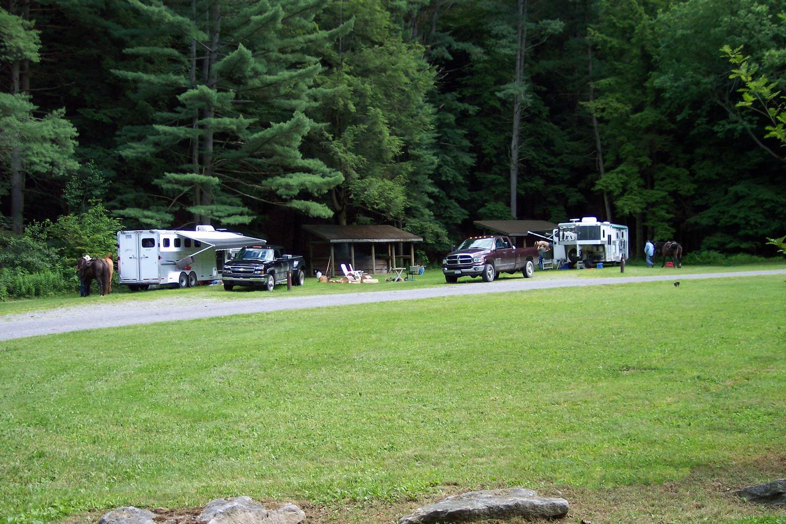
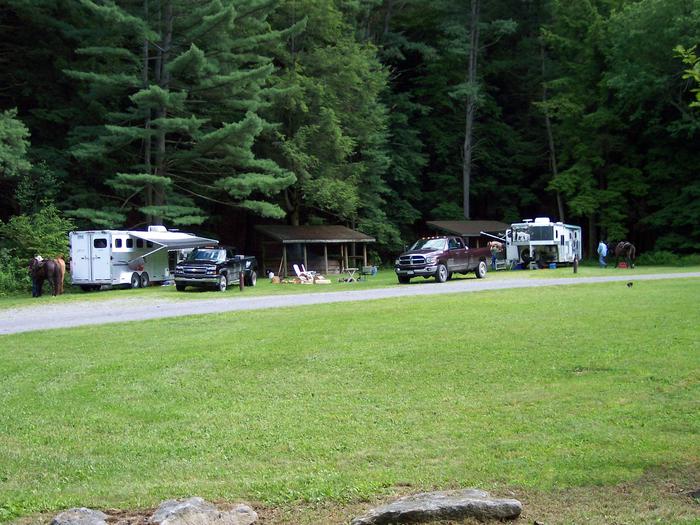
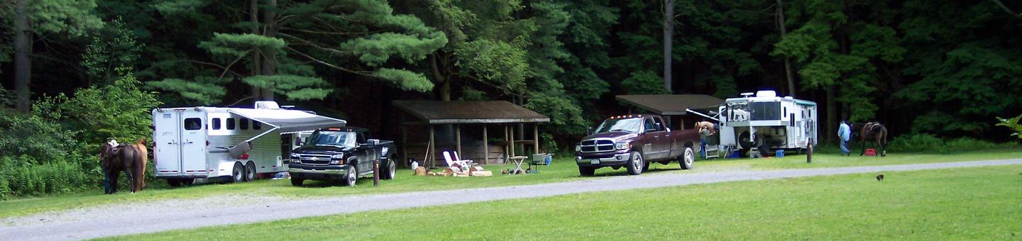
Kelly Pines Campground is an equestrian campground located in the hub of the Spring Creek Horse Trail system.
Recreation
The recreation area is the hub of the Spring Creek Horse Trail system, with 38 miles of designated, marked trails. Day users are welcome to park in the center of the loop and stage their ride from there. View the Spring Creek Horse Trail map . The campground is also popular when trout season opens in April, and anglers are welcome in the first two non-horse sites.
Facilities
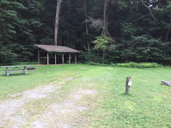
The campground has seven campsites: the first two are for non-riders, four sites are single equestrian sites, and the last site is a double equestrian site. Each single site has a 4-horse tie-down shelter with a gravel base, rubber mat, and log rails to separate the horses. The double site has 2 of these tie-down shelters. All sites have a picnic table and fire ring. There is a vault toilet for people and a manure bin to dispose of horse waste, an artesian well, and a designated location along the stream to water horses. A bulletin board provides information and regulations, and a hitching rail allows for quick pit stops.
Natural Features
The location is an opening along Wolf Run, a native trout stream, surrounded by native forest including 300+ year old white pine trees.
Nearby Attractions
Enjoy the thrill of forest riding. Horse riding is permitted in many areas of the Allegheny National Forest, but in the Spring Creek area, riders must stay on designated trails. During wet conditions, riders can ride Forest roads, but no cross-country riding is allowed. The Spring Creek Horse Trail is a major nearby attraction with over 38 miles of trail, some of which is also on State Game Lands.