
Directions
From Santa Barbara, take Highway 154 for approximately 9 miles to Paradise Road. Turn right and continue on Paradise Road to the campground.
Phone
805-434-1996
Activities
CAMPING, FISHING, HIKING, HUNTING, SWIMMING SITE
Keywords
PARA,SANTA YNEZ,SANTA BARBARA,LOS PADRES NF -FS
Related Link(s)
California State Road Conditions
Overview
Paradise Campground is a beautiful place to enjoy California’s westernmost national forest. It provides access to a variety of recreational activities, including hiking, biking, horseback riding and more. Mountain lakes and rivers in the area offer campers plentiful fishing, boating and swimming opportunities.
Recreation
The Santa Ynez River is popular for a variety of water-related recreation and can be accessed at White Rock Day-Use Area, less than half a mile from the campground.
Cachuma Lake Recreation Area, a no-body-contact reservoir, is about 10 miles northwest of the campground. It offers boating, fishing and kayaking. Anglers will find an abundance of annually stocked trout. Carp and bass are also common catches.
Visitors enjoy a variety of hiking, biking and horseback riding trails. The Aliso National Recreation Trail is a popular, 2.5-mile loop that begins near the campground. Also nearby is the 18-mile Santa Cruz Trail, which provides access to a variety of other trails in the area.
The Camuesa OHV Route and its connecting trails are available within 10 miles of the campground.
Facilities
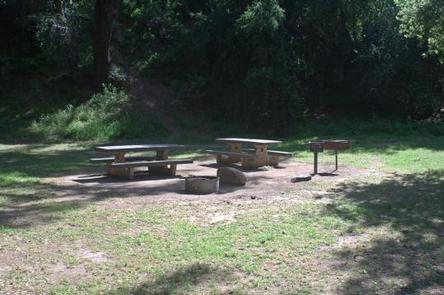
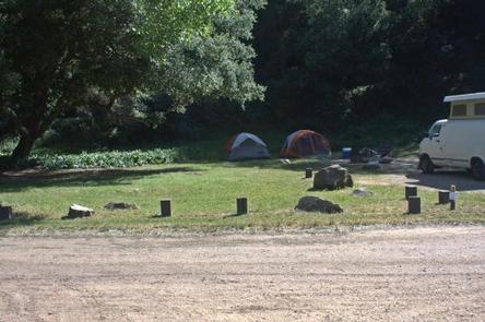
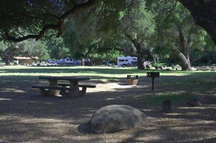
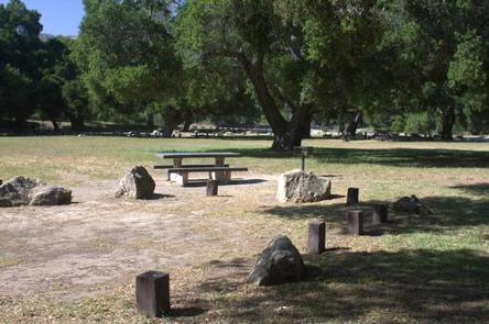
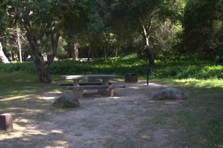
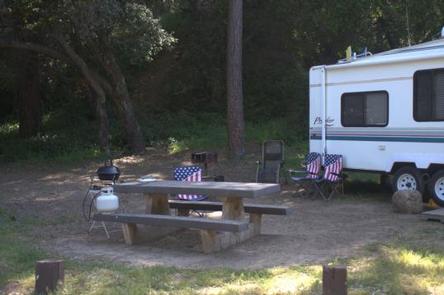
The campground offers just over a dozen sites for single and double-family tent and RV camping. Each site is equipped with a table, campfire ring with grill and a pedestal grill. Accessible flush toilets and drinking water are provided.
Utility hookups are not provided. Parking spurs are paved and can accommodate most RVs. Firewood can be purchased from the campground host. The nearest fee dump station is about 11 miles away at Cachuma Lake County Park off State Route 154.
Natural Features
The developed campground is located in the Santa Ynez Mountains at an elevation of about 1,000 feet. The Santa Ynez River can be accessed through a tunnel beneath adjacent Paradise Road.
The campground is nestled in an oak tree woodland that provides ample shade in most sites. Lush greenery blankets the campground and an open, level playing field allows for games and exploration.
Nearby Attractions
The city of Santa Barbara and the Pacific Ocean are about 18 miles from the campground.