
Directions
From Troy, North Carolina, take State Highway 109 north for approximately 10 miles. Turn left onto Mullinix Road (County Highway 1154), and travel approximately 1.5 miles to a stop sign and "T" intersection. Turn right, and go approximately 2 miles to another stop sign and "T" intersection. Turn left and travel about 2 miles, following the signs to the campground.
Phone
910-576-6391
Activities
BIKING, BOATING, CAMPING, FISHING, HIKING, HORSEBACK RIDING, HUNTING, WATER SPORTS, WILDLIFE VIEWING, SWIMMING SITE
Keywords
ARWH,NFs IN NORTH CAROLINA – FS,Uwharrie,UWHARRIE
Related Link(s)
North Carolina State Road Conditions
Overview
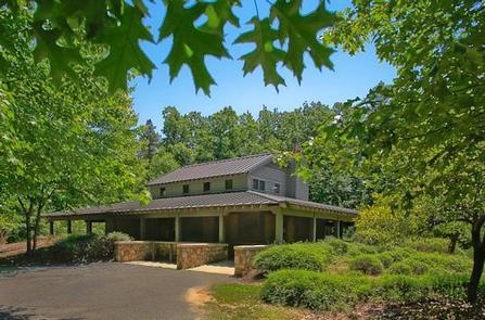
Arrowhead Campground lies in the Badin Lake Recreation Area, a hub for outdoor activities in central North Carolina’s Uwharrie National Forest. The variety of sites in the campground offer a comfortable stay for both RV and tent campers. The facility is open year-round and provides easy access to hiking, off-road vehicle riding, horseback riding, mountain biking, fishing and boating.
Recreation
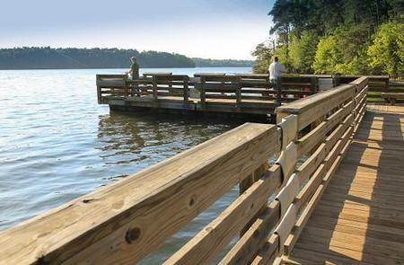
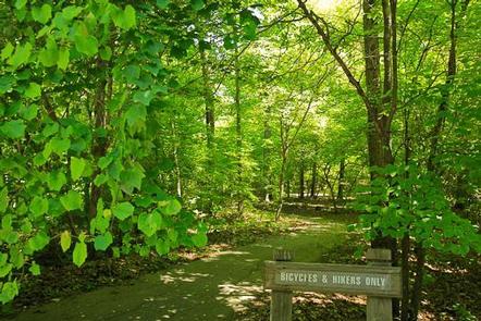
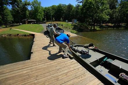
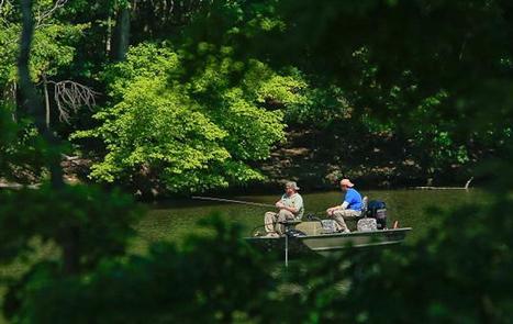
Badin Lake Recreation Area offers many ways for campers to enjoy the lake. Popular activities include picnicking on the shore or swimming, boating or fishing on the water. About 40 miles of non-motorized trails are available for horseback riding, mountain biking and hiking, as well as 17 miles of motorized trails for off-road vehicle riding. The surrounding land offers both big and small game hunting.
Facilities
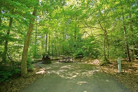
Campsites are organized into one large loop with plenty of space for RVs or tents at each site. A few tent-only sites are situated on a smaller loop to the side of the main campground. Electrical hookups (50-amp, 30-amp or 110-volt outlets) are available at sites 12-45. Most sites are accessible.
Sites are equipped with picnic tables, tent pads, lantern posts and campfire rings with grills. The facility also provides hot showers and flush toilets. A dump station is located across from the pay station. A campground host is available for visitor assistance.
Natural Features
The campground lies in a dense forest of pine, oak and hickory near the shore of 5,000-acre Badin Lake.
Winter temperatures range from the low 30s to upper 50s, while summer brings temperatures in the upper 80s and 90s and high humidity. The weather is pleasant in spring and fall, with high temperatures in the 60s and 70s.
Nearby Attractions
A theme park with a petting zoo, nature center and mini golf course lies just under an hour away and makes a fun day trip for families.