SPRING HILL CAMPGROUND, MT Campground Reservation, Info, Images, Map, Directions

SPRING HILL CAMPGROUND, Montana Campground Images, Info & Reservations

Listen

Directions

Travel approximately 11 miles west of Anaconda along State Highway 1 to the campground.

Phone

406-210-8199

Activities

BIKING, CAMPING, FISHING, HIKING, HUNTING, PICNICKING, WILDLIFE VIEWING

Keywords

SPHI,SPRINGHILL,WARM SPRINGS,BEAVERHEAD-DEERLODGE NF -FS

Related Link(s)

Rec Area Info & Images

Montana State Road Conditions

Montana State Tourism

Overview

Nestled in the Lodgepole pine forests of southwestern Montana, Spring Hill Campground is only eight miles from Georgetown Lake, a popular destination for fishing, boating and water sports. Spring Hill is located in the Pintler Ranger District of the Beaverhead-Deerlodge National Forest, the largest national forest in Montana. Surrounding mountains add to the majestic scenery and provide ample outdoor recreation opportunities during the summer season.

Recreation

Warm Springs Creek is well-known among Montana anglers as a source of rainbow, cutthroat, brook and brown trout. Georgetown Lake is also a prime destination for fishing and fly fishing with kokanee salmon, rainbow and brook trout being the most sought-after species. Canoeing and boating are also popular sports. Hikers, horseback riders and mountain bikers will find no shortage of trails within a few miles of the campground.

Facilities

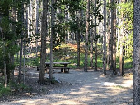
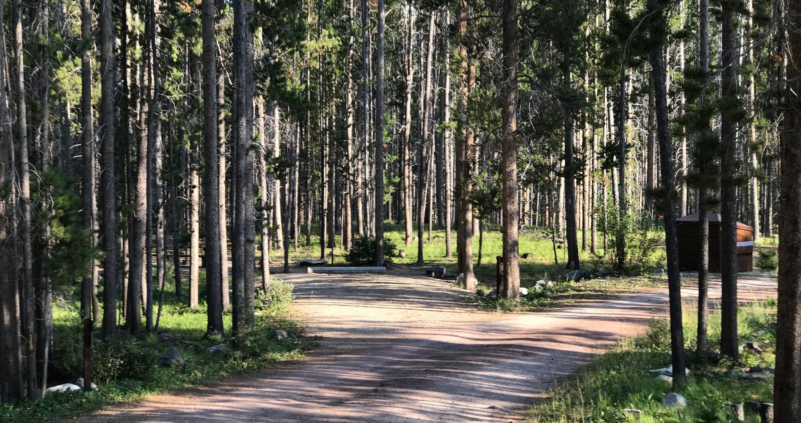
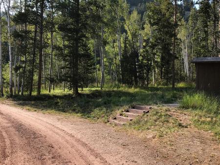
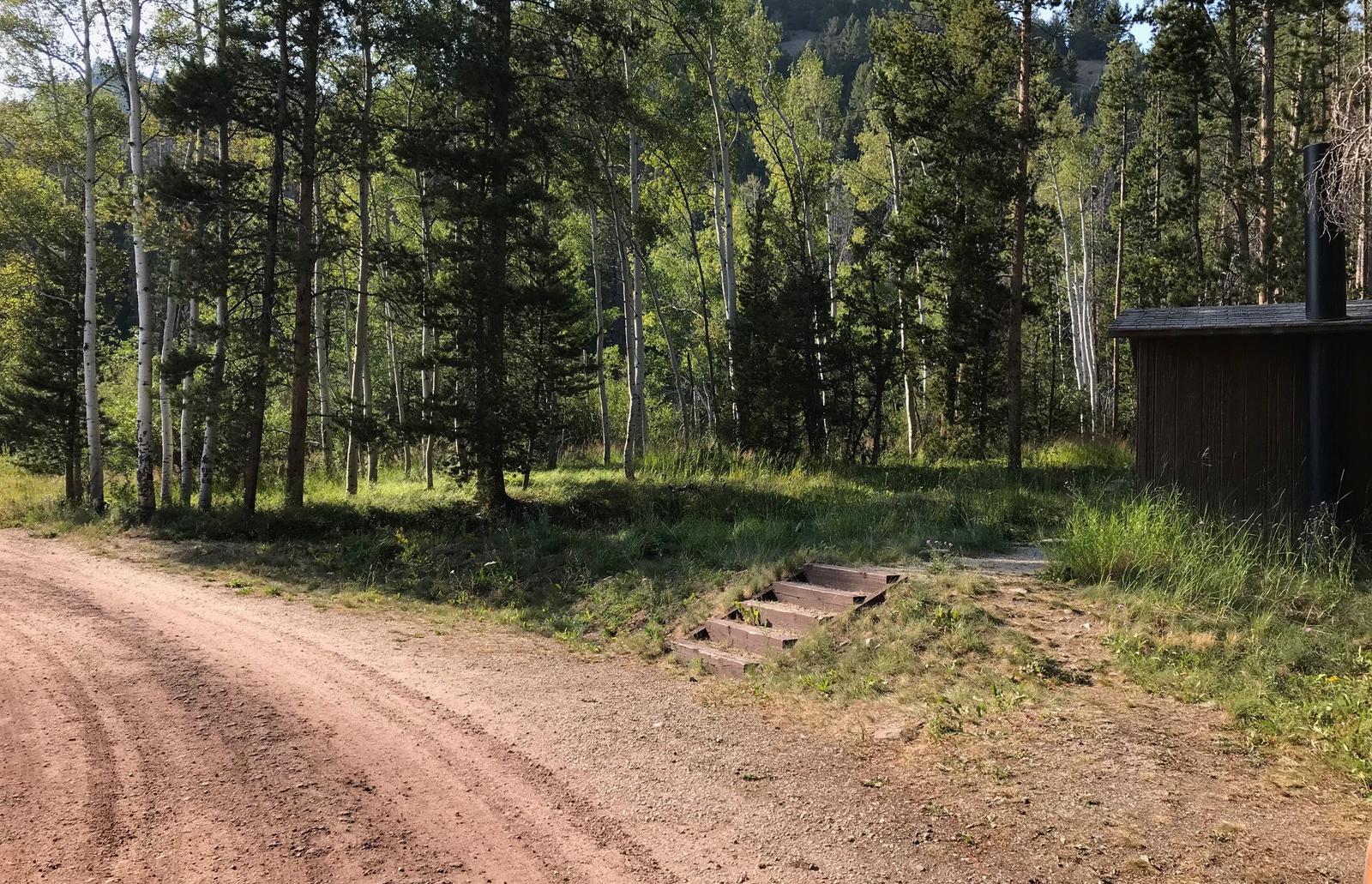
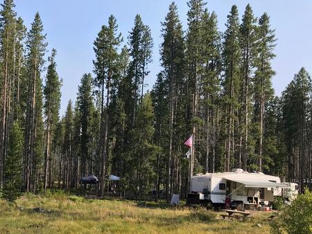
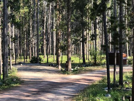
The campground is conveniently located near Georgetown Lake, though there is no direct lake access from the site. There are 15 units available for tent and RV camping, as well as a pleasant picnic area.

Natural Features

Warm Springs Creek runs adjacent to the campground. Nearby Georgetown Lake, a large mountain lake of more than 3,000 acres at an elevation of over 6,000 feet, draws the most attention from visitors. The area immediately surrounding the campground is abundantly populated with Lodgepole pines and is home to local wildlife, including moose, elk, white-tailed deer and even bighorn sheep.

Nearby Attractions

The historic town of Anaconda is only a short drive away.

Charges & Cancellations

Must cancel 4 days in advance

Reservation

More from CampingHiking.net:

OLALLIE ON MCKENZIE HIGHWAY, Oregon Campground Images, Info & Reservations

Listen Directions From Eugene, take I-105 east to McKenzie Highway 126 for 55 miles to McKenzie Highway. Travel 13 miles beyond McKenzie Highway on 126 East. Olallie is on the left-hand side of the road. Phone 801-226-3564 Activities FISHING, HIKING Keywords OLAL,WILLAMETTE NF -FS Related Link(s) Rec Area Info &

BIG ELK GUARD STATION, Oregon Campground Images, Info & Reservations

Listen Directions Drive east from Butte Falls on the Butte Falls-Fish Lake Highway (County Road #821) for approximately 19 miles to the junction with State Highway #140. Turn right, go .08 miles on Highway #140 to the junction with Forest Service Road #37. Turn left, and travel approximately 4 miles

STILLHOUSE, Texas Campground Images, Info & Reservations

Listen Directions From Interstate 35 in Belton, Texas take State Highway 190 west to the Simmons Road exit. Exit and turn left under 190 onto Simmons Road. Proceed about three miles to the park. Phone 254-939-6741 Activities BOATING, CAMPING, FISHING, SWIMMING SITE Keywords STIL,STILLHOUSE HOLLOW PARK,STILLHOUSE HOLLOW Related Link(s) Rec

DEMOTTE, Arizona Campground Images, Info & Reservations

Listen Directions From Kanab, UT the facility is 40 miles (35 miles from Fredonia, AZ) south on U.S. Route 89A to AZ State Route 67, at Jacob Lake. Then south 25 miles on AZ State Route 67 to DeMotte campground. From Bitter Springs intersection of U.S. 89 and 89A. Take

COLES CREEK REC AREA, Illinois Campground Images, Info & Reservations

Listen Directions From I-57, take Old U.S. Route 50 west for 19 miles through Salem, Odin and Sandoval. Turn north on Boulder Road and continue for 4 miles, then turn onto 1700 and continue until the road connects with 2400. Continue south to the Coles Creek entrance. Address: 16225 Coles

SPRINGHILL, Arkansas Campground Images, Info & Reservations

Listen Directions From Barling, Arkansas, take SR-59 north for 1.5 miles and follow signs into campground. Phone 479-452-4598 Activities BIKING, BOATING, CAMPING, FISHING, HIKING, BIRDING Keywords SPRH,JOHN PAUL HAMMERSCHMIDT LAKE,JOHN PAUL HAMMERSC Related Link(s) Rec Area Info & Images Arkansas State Road Conditions Arkansas State Tourism Overview Springhill Park sits