Directions
From the east on US Highway 60, turn north on Missouri Highway 19 in the town of Winona. Continue north 12 miles to the town of Eminence. From Eminence, Alley Spring campground is located five minutes west of State Highway 106.
From Mountain View, travel 19 miles east from Mountain View on US Highway 60 and turn north on County Highway E. Go north on E for 10 miles until you reach State Highway 106, then turn west on 106 for two miles. The Alley Spring Campground is on the south side of Highway 106.
Phone
573-323-4236
Activities
BIKING, BOATING, CAMPING, INTERPRETIVE PROGRAMS, FISHING, HIKING, HORSEBACK RIDING, HUNTING, VISITOR CENTER, WATER SPORTS, WILDLIFE VIEWING, DAY USE AREA, SWIMMING SITE
Keywords
ALSP,Ozark National Scenic Riverway,Burr Oak
Related Link(s)
Missouri State Road Conditions
Overview
The rolling, forested landscape around Alley Spring is where two of America’s most beautiful spring-fed rivers combine to make up the Ozark National Scenic Riverways.
As the first national park area to protect a wild river system, visitors are able to enjoy various water activities as well as hiking, horseback riding and wildlife viewing.
Recreation
Canoeing, tubing, swimming and fishing are popular activities on the vast waterways in the region, with over 130 miles of water trails. Canoe and kayak rentals and outfitters can be found nearby.
A short walk from the campground leads to a popular swimming area on the Jacks Fork River, a crystal clear and spring fed waterway that’s cool and refreshing on a hot summer day.
Several interpretive trails with educational exhibits meander nearby. Other hiking trails include the Alley Overlook Trail, Chubb Hollow Trail, Ozark Trail, Cave Spring Trail and Big Springs Trail.
Facilities
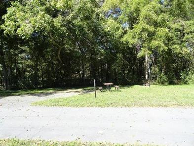
Open year-round, this campground has flush toilets and shower facilities available April 15 through October 15. Roads and parking spurs are paved.
Ranger-led campfire programs are offered in the campground amphitheater during the summer months.
Natural Features
Known for its caves, springs, sinkholes and losing streams, the Ozark National Scenic Riverways has over 300 identified caves within its boundaries. They range in size from a rock overhang to almost seven miles of identified passages. Eight caves, including an open sinkhole, have been designated as outstanding natural features.
The Ozark forest is mostly White oak and Shortleaf pine, Missouri’s only native pine species. Along the rivers, Sycamore, Cottonwood, River birch and maples are common. Redbud and Dogwood are abundant, putting on a spectacular show during most spring months.
Nearby Attractions
Historic and picturesque Alley Mill and the scenic Alley Spring are nearby. The mill is open daily in the summer and rangers offer tours upon request. Pretty Round Spring is close to the campground as well.

