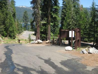
SOUTH SHORE CAMPGROUND, CA Campground Reservation, Info, Images, Map, Directions

SOUTH SHORE CAMPGROUND, California Campground Images, Info & Reservations

Listen

Directions

From Pioneer, CA, take State Route 88 east 21.9 miles to Bear River Lake Resort sign. Turn left at the sign and go 3.4 miles to campground on right side of the road.

Phone

209-295-4360

Activities

BIKING, BOATING, CAMPING, FISHING, SWIMMING SITE

Keywords

SOSH,BEAR RIVER RESERVOIR SO.SHORE,ELDORADO NF – FS

Related Link(s)

Rec Area Info & Images

California State Tourism

Forest Service Concessionaire

California State Road Conditions

Overview

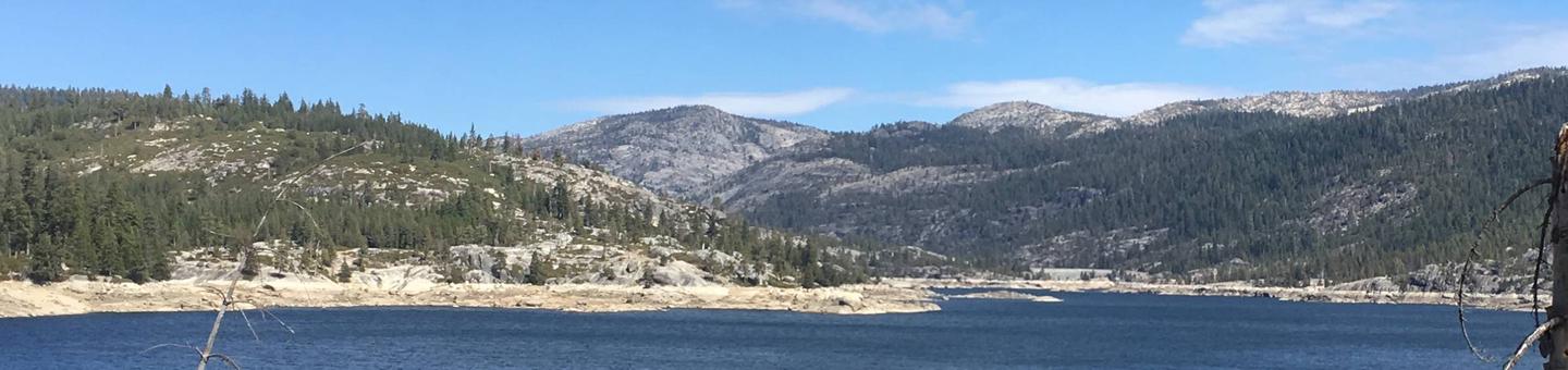
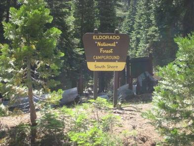
South Shore Campground is located next to Lower Bear River Reservoir in the Eldorado National Forest the central Sierra Nevada Mountains. It’s a prime location for fishing and boating.

Recreation

Lower Bear Reservoir covers 166 acres and has 2.5 miles of shoreline. Activities include fishing, swimming, boating, canoeing and picnicking. Anglers may catch rainbow, brown and mackinaw trout. A boat ramp is located within a mile of the campground.

The Pardoe Trail can be accessed a short distance past nearby Upper Bear River Reservoir, and borders Mokelumne Wilderness.

Facilities

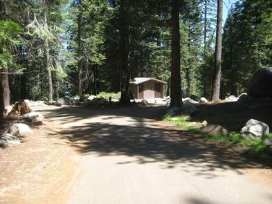
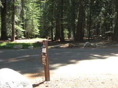
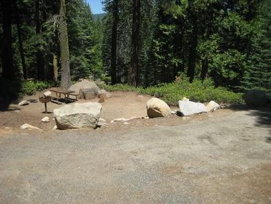
Each campsite comes with a picnic table and grill. One campsite is accessible, as is one of the vault toilets. Drinking water is provided.

A general store is about a mile from the campground on the northern part of the reservoir.

Natural Features

The campground is nestled in a mixed conifer forest on a hillside just above the south shore of Lower Bear River Reservoir at an elevation of 5,900 feet. Some campsites offer partial views of the lake through the trees.

A Mediterranean climate extends over most of the forest, with warm, dry summers and cold, wet winters.

Reservation

More from CampingHiking.net:

APACHE TROUT CAMPGROUND, Arizona Campground Images, Info & Reservations

Listen Directions From Pinetop, Arizona, take Highway 260 east 60 miles to Highway 261 south. Follow Highway 261 south 20 miles to Forest Road 115 and turn south for 1 mile. Phone 928-537-8888 Activities CAMPING, PICNICKING Keywords APACHE TROUT CAMPGROUND (AZ),BIG LAKE Related Link(s) Rec Area Info & Images Forest

TIPSAW LAKE, Indiana Campground Images, Info & Reservations

Listen Directions From St. Croix, Indiana, travel south on State Route 37 about 5 miles to the Tipsaw Lake sign. Turn right and continue about 3 miles to the campground. Tipsaw Lake is only 3 miles from Interstate 64. Phone 812-843-4891 Activities BIKING, BOATING, CAMPING, FISHING, HIKING, HUNTING, SWIMMING SITE

NORTH FORK (KY), Kentucky Campground Images, Info & Reservations

Listen Directions Begin at ramp onto I-64 West toward New Albany/St. Louis, traveling 22.3 miles. Take the IN-135, Exit Number 105, toward Palmyra/Corydon, onto IN-135 South toward Corydon, traveling 16.7 miles. Continue on Bypass Road KY-79 for 2.1 miles. Turn right onto KY-79, traveling 10.1 miles. Continue on 1st Avenue,

SPILLWAY (AZ), Arizona Campground Images, Info & Reservations

Listen Directions From Payson, Arizona, take Highway 260 northeast toward Heber. Turn left (west) onto Forest Road 300 directly across from the Rim Visitor Information Station and follow for 5 miles. Turn right at Woods Canyon Lake Road. Spillway is on the right, another 0.75 miles further. Phone 928-535-9859 Activities