
Directions
Designated campsites are spread along 55 miles of river shoreline between the AuSable River Access at 4001 Bridge (7 miles northwest of Glennie, MI) to near the Whirlpool AuSable River Access (4 miles west of Oscoda, MI).
For more information on specific campsites, click here.
Phone
989-362-8961
Activities
BOATING, CAMPING, FISHING, HUNTING, WILDLIFE VIEWING
Keywords
AUSABLE,ALCONA POND,AUSABLE SPNMA,LOUD POND,FIVE CHANNELS POND,COOKE POND,FOOTE POND,LOWER AUSABLE (WHIRLPOOL),SAWMILL POINT,AUSABLE RIVER NORTH,AUSABLE RIVER SOUTH,HURON-MANISTEE NF -FS
Related Link(s)
Michigan State Road Conditions
Overview
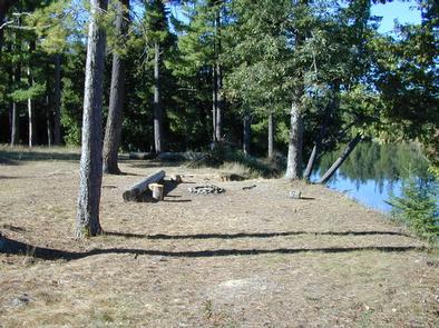
AuSable River Dispersed Camping is a unique series of 102 individually designated single-family campsites on a 55-mile stretch of the lovely AuSable River. All campsites are within Alcona and Iosco Counties in Michigan.
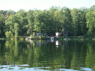
These rustic sites are divided into sections near Alcona Pond, the AuSable Semi-Primitive Non-Motorized Area, Loud Pond, Five Channels Pond, Cooke Pond, Foote Pond and Lower Ausable. Each are ideal for family camping, with opportunities for fly fishing, swimming, canoeing and bird watching.
Recreation
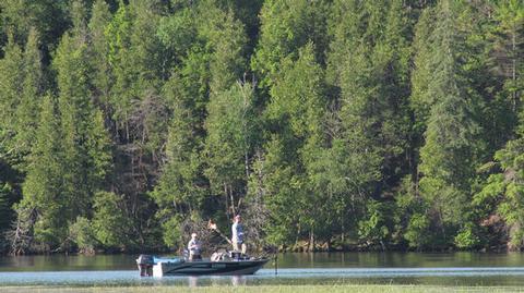
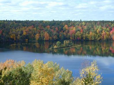
Both river and lake fishing are available for perch, bass and pike walleye. One recommended spot is the Whirlpool Angler access point. All sites are also near the River Road National Scenic Byway, which offers wonderful views of the river valley.
The campground has boat-in camping, and canoe rentals are available in Glennie, Hale, Mio and Oscoda.
Facilities
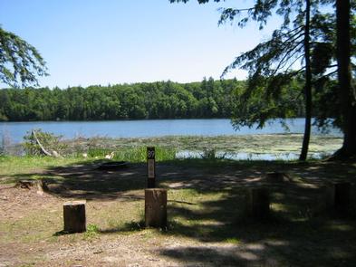
All sites are primitive with no drinking water, toilets or trash removal. Campers are expected to bring plenty of water, portable toilets and garbage bags. Parking aprons are dirt or gravel.
Natural Features
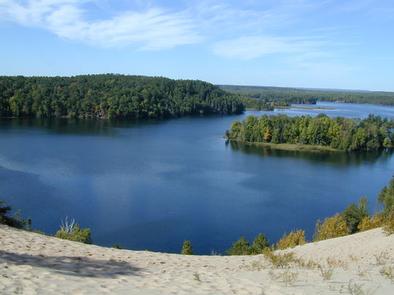
Campsites sit on bluffs that range from five to 300 feet above the waterline of the lower AuSable River. Depending on the site, access to the river may be difficult due to steep or eroding slopes.
The AuSable River meanders across 138 miles of Michigan and flows into the great lake, Lake Huron.