
Directions
From Roseburg, OR, travel east on NE Diamond Lake Blvd./OR-138 East for approximately 16 miles. Turn right onto Little River Road 17. Continue on Little River Road for 12 miles to Wolf Creek Campground, located on the right side of the road. The group site is within the campground.
Phone
(541)496-3532
Activities
FISHING, HIKING, PICNICKING, WILDLIFE VIEWING, SWIMMING
Keywords
WOLF,WOLF CREEK BALLFIELD,WOLF CREEK GROUP SITE,UMPQUA NF – FS
Related Link(s)
Overview
Wolf Creek Group Campground is set near the banks of Little River with a large open area hemmed in by a canopy of forest, providing a perfect setting for family reunions, celebrations or group getaways.
Recreation
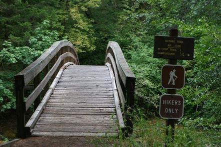
Running nearly parallel to the North Umpqua River is the popular North Umpqua Trail. This 79 mile National Recreation Trail offers a trek for every ability. Mountain bikers won’t feel left out as there are many opportunities to test your riding skills. Several trailheads can be accessed in the vicinity of the campground. In most places the trail travels near the river, allowing you to hike or ride with the sound of rapids and picturesque views spurring you on. Passing through lush forests, old-growth trees, and rocky bluffs, you will also occasionally get a bird’s eye view of the river.
Facilities
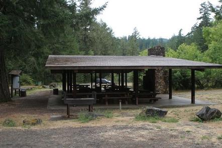
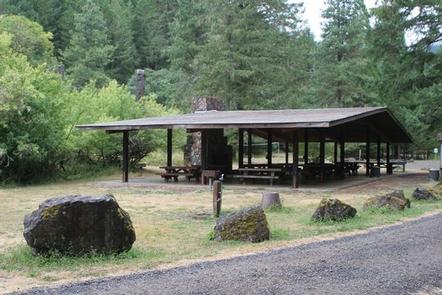
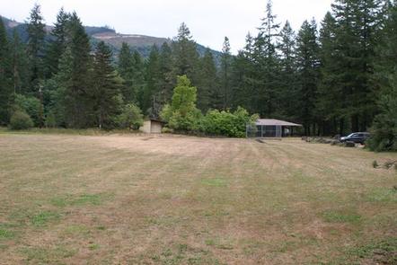
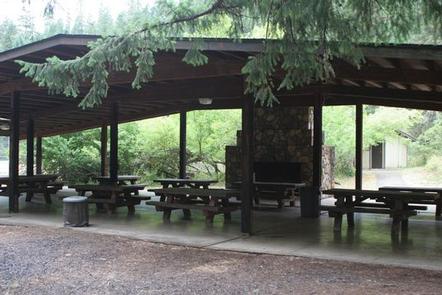
This campground has one large reserve only site able to accommodate up to 150 people. The site is equipped with several picnic tables, a shelter with a fireplace, campfire rings, grills, flush toilets and drinking water. Access to the Little River is within walking distance. A ball field, volleyball court and horseshoe pits are also on-site.
Natural Features
Visitors to Umpqua National Forest are often taken aback by the unique landscapes of southwestern Oregon. Explosive geologic events have shaped the distinctive landscape on the nearly 1 million-acre forest, and provide spectacular scenery as well as an abundance of natural and cultural resources. Diverse ecosystems support a wide range of habitat for wildlife common to the area. From eagles and owls, to salamanders and salmon, these species, along with many others, depend on surrounding undeveloped wilderness, clean streams and diverse forests to live.
Nearby Attractions
Visitors may want to take some time to visit nearby Yakso Falls and Grotto Falls; both are easy hikes which show how varied waterfalls can be. Visitors also enjoy the 172 miles of diverse river and mountain landscapes along the Rogue-Umpqua National Scenic Byway. The scenic drive travels from rolling oak-covered hills and towering coniferous forests to roaring white water rapids and incised intercanyon lava flows. The highway travels alongside the Upper Rogue and North Umpqua Wild and Scenic Rivers that contain world-class fisheries.