Directions
From Hayesville, North Carolina, take U.S. Highway 64 east for 6.2 miles. Turn right onto State Route 175 and go 2.5 miles. Turn right onto State Road 1155, which turns into Forest Road 248.
From Hiawassee, Georgia, take Georgia Route 75 north for about 3.5 miles, where it turns into North Carolina Route 175, and go an additional 1.5 miles. Turn left onto State Road 1155, which turns into Forest Service Road 248.
Phone
828-837-5152
Activities
BIKING, BOATING, CAMPING, FISHING, HIKING, PICNICKING, DAY USE AREA, SWIMMING, MOTOR BOAT, MOUNTAIN BIKING, PADDLE BOATING, WATER ACTIVITIES, KAYAKING, CANOEING, BIRDING, NON-MOTORIZED BOATING, WATER ACCESS, JET SKIING, SAILING
Keywords
JACM,Jackrabbit,NFs IN NORTH CAROLINA – FS
Related Link(s)
North Carolina State Road Conditions
Overview
Jackrabbit Mountain Campground offers scenic lakeside camping in the beautiful Nantahala National Forest of southwestern North Carolina. Campers can breathe the fresh air of the forest while enjoying numerous recreation activities, including hiking, picnicking, mountain biking, fishing and water sports at Jackrabbit Recreation Area. The campground contains three seperate camping loops; Loops A is open May – September, and Loop B and C is open May – October.
Recreation
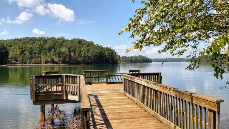
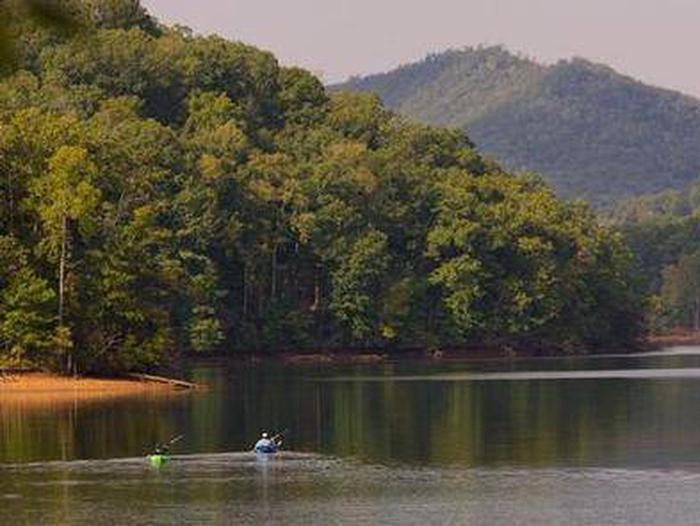
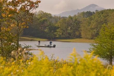
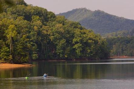
Lake Chatuge has more than 130 miles of shoreline and plenty of water for recreation. Popular water activities include boating, jet skiing, swimming and fishing. Beach access fee is not included in camping reservation fee and will require on-site payment at fee collection station. Visitors who wish to stay on dry land can explore hiking, biking and shoreline fishing. Jackrabbit Mountain Recreation Area boasts several hiking trails, and the campground has paved roads for an easy afternoon of bicycling. Mountain bikers can get their wheels dusty on approximately 14 miles of bike-friendly trails.
Facilities
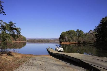
This large facility has three loops of well-kept campsites, some of which lie on the water’s edge. Families can relax at the swimming beach (May – September), while anglers and boaters can use the boat ramp to access the water. The facility is also equipped with showers, flush toilets and picnic shelters.
Natural Features
The campground is located on a peninsula on Lake Chatuge, a dammed lake on the Hiawassee River. The site sits in a mixed deciduous and pine forest at an elevation of 1,860 feet.
Nearby Attractions
Local attractions include the Fires Creek recreation area and the Georgia Mountain State Fair, which occurs in late July each year.

