MAPLE GROVE, UT Campground Reservation, Info, Images, Map, Directions

MAPLE GROVE, Utah Campground Images, Info & Reservations

Directions

From Scipio, Utah, take U.S. 50 south. Turn west at Maple Grove Campground sign/Forest Road 101 at milepost 146. Travel 4 miles to the campground.

Phone

435-743-5721

Activities

CAMPING, HIKING

Keywords

MAPL,FISHLAKE NF – FS

Related Link(s)

Rec Area Info & Images

Utah State Tourism

Utah State Road Conditions

Overview

Maple Grove Campground sits in Fishlake National Forest in central Utah. Visitors enjoy fishing and hiking the nearby Rock Canyon Trail.

Recreation

The 3.2-mile Rock Canyon Trail begins in the campground and leads to the top of the Pahvant Range. Younger campers love fishing for rainbow trout in Ivie Creek.

Facilities

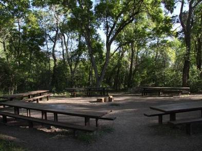
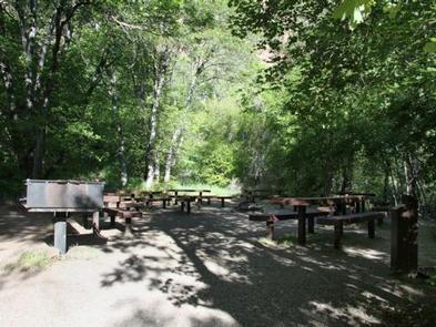
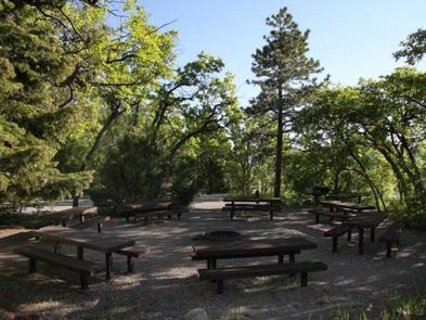
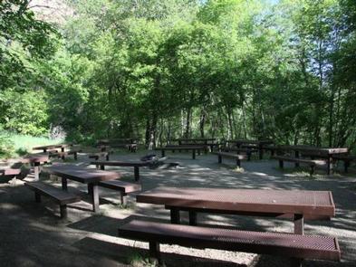
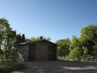
The campground offers three reservable accessible group sites with picnic tables, campfire circles, grills and water spigots. Several single sites are available on a first come, first served basis. Vault toilets and drinking water are provided.

Natural Features

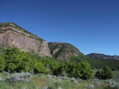
The campground sits beneath towering red cliffs and offers scenic views of the valley below. Thick stands of maple, cottonwood, box elder, oak and pine provide plentiful shade. Gentle Ivie Creek runs through the site.

Reservation

More from CampingHiking.net:

CRANESNEST CAMPGROUND (VA), Virginia Campground Images, Info & Reservations

Directions From Clintwood, VA main street turn left onto Rt. 83. Travel 2.6 miles and turn left onto Cranesnest Campground Rd. Travel 2.8 miles to the campground. Phone 276-835-9544 Activities BIKING, BOATING, CAMPING, FISHING, HIKING, HORSEBACK RIDING, PICNICKING, WILDLIFE VIEWING Keywords Related Link(s) Rec Area Info & Images Virginia State

Creek Pasture Group Site, Utah Campground Images, Info & Reservations

Directions Turn west off US 191 onto Highway 211 and travel approximately 27 miles. The turn off to the campground is on the north side of the highway. It is located approximately 7.5 miles southeast of the Canyonlands National Park visitor’s center and 14.5 miles northwest of Newspaper Rock. The

Cholla Campground, Arizona Campground Images, Info & Reservations

Directions Cholla Campground is 5 miles north of Roosevelt Dam. From Mesa: Take State Hwy. 87/Beeline Highway north for about 60 miles to its junction with State Hwy. 188. Turn right and follow State Hwy. 188 south for 28 miles to the site. From the Globe area: Take State Hwy.

TWIN LAKES (SC), Georgia Campground Images, Info & Reservations

Directions Take Interstate 85 to exit 14 and merge onto Highway 187. After passing Clemson Research Center, turn left onto Fants Grove Road and follow directional signs to the park. 140 Winnebego Trail, Pendleton, SC 29670 Phone 888-893-0678 (HARTWELL LAKE OFFICE) Activities BOATING, CAMPING, FISHING, SWIMMING SITE Keywords TWI2,HARTWELL LAKE