NARROWS (CO), CO Campground Reservation, Info, Images, Map, Directions

NARROWS (CO), Colorado Campground Images, Info & Reservations

Directions

From Fort Collins, take Highway 14 northwest for 32 miles.

Phone

970-295-6700

Activities

BIKING, BOATING, CAMPING, FISHING, HIKING, WATER SPORTS, WILDLIFE VIEWING, MOUNTAIN BIKING, KAYAKING, CANOEING, BIRDING, RAFTING, WHITEWATER RAFTING

Keywords

NARS,NARROWS,LOWER NARROWS,UPPER NARROWS,ARAPAHO AND ROOSEVELT NF – FS

Related Link(s)

Rec Area Info & Images

Colorado State Road Conditions

Colorado State Tourism

Forest Service Concessionaire

Overview

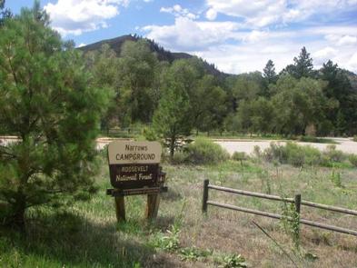
Narrows Campground is located on the Cache la Poudre River, 32 miles northwest of Fort Collins, Colorado, along Highway 14. Visitors enjoy the area for its great rafting, fishing and hiking opportunities.

Recreation

The Cache la Poudre River offers whitewater rafting and fishing. Anglers cast for brown, cutthroat and rainbow trout.

Hiking, biking and horseback riding trails are in the surrounding area, including the Mt. McConnel Trail, William R. Kreutzer National Recreation Trail and Young Gulch Trail.

Other popular activities include birding and wildlife viewing.

Facilities

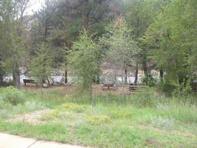
The campground offers accessible single-family sites, including eight walk-to tent sites. Each site is equipped with a 12×15′ tent pad, a picnic table and a campfire ring with grill.

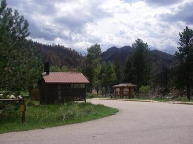
Vault toilets and drinking water are provided. Dead and downed firewood may be gathered in the forest or purchased from the host.

Natural Features

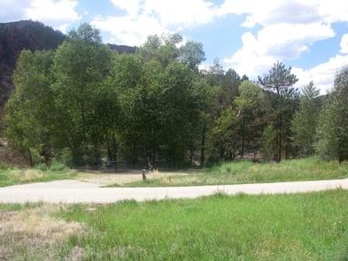
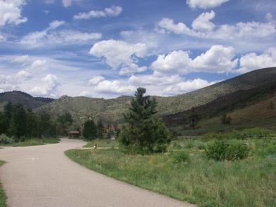
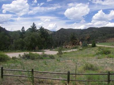
The canyon’s vegetation varies from dense forests to open meadows, surrounded by steep mountains. The campground is situated among ponderosa pine and aspen trees on the banks of the Cache la Poudre River, Colorado’s first National Wild and Scenic River. The lower loop drops off steeply to the river.

Reservation

More from CampingHiking.net:

BOULDER FLAT CAMPGROUND, Oregon Campground Images, Info & Reservations

Directions From Roseburg, OR travel east on OR-138 East/NE Diamond Lake Blvd. for 53 miles to Boulder Flat Campground, located on the left side of the highway. Phone 541-496-3532 Activities BIRDING, WHITEWATER RAFTING Keywords Related Link(s) Rec Area Info & Images Oregon State Road Conditions Oregon State Tourism Overview Situated

LITTLE MILL, Utah Campground Images, Info & Reservations

Directions From Salt Lake City or Provo, take I-15 to the Alpine-Highland exit 284. Travel 8 miles east on Utah Highway 92 to the mouth of American Fork Canyon. Stay on 92 for 4 miles to the campground. Phone PLEASANT GROVE RANGER DISTRICT 801-785-3563 OR UTAH RECREATION COMPANY 385-273-1100 Activities

FOX CREEK GROUP CAMP, Oregon Campground Images, Info & Reservations

Directions From Detroit, Oregon, drive east on State Highway 22. After crossing the bridge, take a left onto Forest Service Road (FSR) 46/Breitenbush. Follow FSR 46 for about 6.5 miles to Fox Creek Group Camp. Phone 503-854-3366 Activities CAMPING, FISHING, SWIMMING SITE Keywords Fox Creek,Fox Creek Group,Fox Creek Camp,FCGC,Fox Creek

CAMP MISTY MOUNT, Maryland Campground Images, Info & Reservations

Directions The street address for GPS use is 14764 Park Central Road, Thurmont, MD. From Washington DC, take the George Washington Memorial Parkway north to I-495 onto I-270 north 27 miles to Frederick, MD. Take Route 15 for 17 miles north to Thurmont, MD. Take Route 77 West, the exit

MINERAL LAKE, Wisconsin Campground Images, Info & Reservations

Directions From Mellen, Wisconsin, take County Highway GG west for about 9 miles to the campground sign. Turn right and drive less than a mile to the campground. From Clam Lake, Wisconsin, take County Highway GG north for about 9 miles to the campground sign and turn left. Phone 715-264-2511

HICKORY CREEK PARK, Arkansas Campground Images, Info & Reservations

Directions From Rogers, AR, take Highway 264 east for 4.5 miles. Turn right on Cow Face Road. After a mile, turn left on Hickory Creek Road. The park entrance sign is on the right after about a mile. Phone 479-750-2943 Activities BOATING, CAMPING, FISHING, HIKING, SWIMMING SITE Keywords HIC2,BEAVER LAKE,HICKORY