

Directions
From Afton, Wyoming, take Highway 89 south approximately 7 miles to Smoot. After a half-mile look for directional signs to Cottonwood Lake Campground.
The Forest boundary is about one mile up the access road, and the campground is 6 miles beyond that. Continue past the first loop of the campground, then turn left at the ‘Y’ intersection onto the east loop. The group site is at the far northern edge of this loop, just past the water pump.
Phone
307-886-5300
Activities
BIKING, CAMPING, HIKING, HUNTING, WILDLIFE VIEWING
Keywords
CGCS,COTTONWOOD,COTTONWOOD GROUP,COTTONWOOD GROUP CAMPSITE,BRIDGER-TETON NF – FS
Related Link(s)
Overview
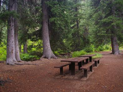
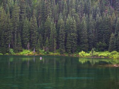
Cottonwood Group Campsite is located near the scenic Cottonwood Lake below Salt River Pass in the forest of western Wyoming.
Recreation
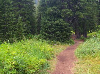
The lake offers great canoeing and boating for smaller craft and fishing for brook and cutthroat trout. Hiking, mountain biking and horseback riding trails are in the area, as well as a motorized route for trail vehicles <50". The west loop of the campground includes horse corrals. The east side, where the group site is located, includes the motorized trail head, so trail vehicles are allowed passage.
Facilities
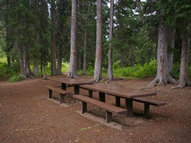
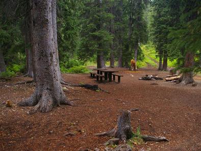
This group campsite can accommodate up to 25 guests and is most appropriate for groups camping in tents. Two vehicles can be parked at the site (van-sized vehicles are the largest the site will accommodate) and six additional vehicles can be parked at the adjacent Cottonwood Lake Day Use Area. Single-family sites are available on a first-come, first-served basis.
Vault toilets and drinking water are provided.
Natural Features
Peaceful North Fork Creek flows through the campground. Its banks and the surrounding canyon are forested by dense stands of pines and aspens, which offer excellent shade and privacy. Vibrant summer wildflowers are abundant.