BANDIDO GROUP CAMPGROUND, CA Campground Reservation, Info, Images, Map, Directions

BANDIDO GROUP CAMPGROUND, California Campground Images, Info & Reservations

Listen

Directions

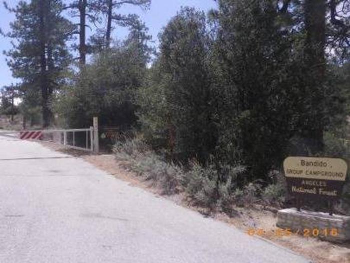
From La Canada at the junction of the I-210 and State Route 2 (Angeles Crest Highway), exit I-210 and turn north towards the mountains on State Route 2. Proceed 28.5 miles to Three Points (two miles past Newcomb’s Ranch Cafe) and turn left onto Forest Service Road 3N17 (Santa Clara Divide Road). Continue west 2 miles to the entrance; gate is on the left. Use the combination you obtained when confirming your reservation to open the gate.

Phone

661-269-2808

Activities

BIKING, CAMPING, HIKING, HORSEBACK RIDING, MOUNTAIN BIKING

Keywords

BDDO,ANGELES NF – FS

Related Link(s)

Rec Area Info & Images

California State Tourism

California State Road Conditions

Overview

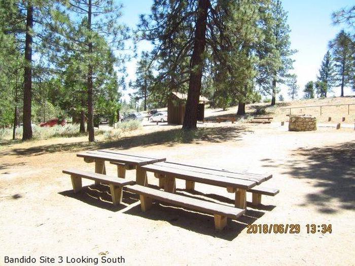
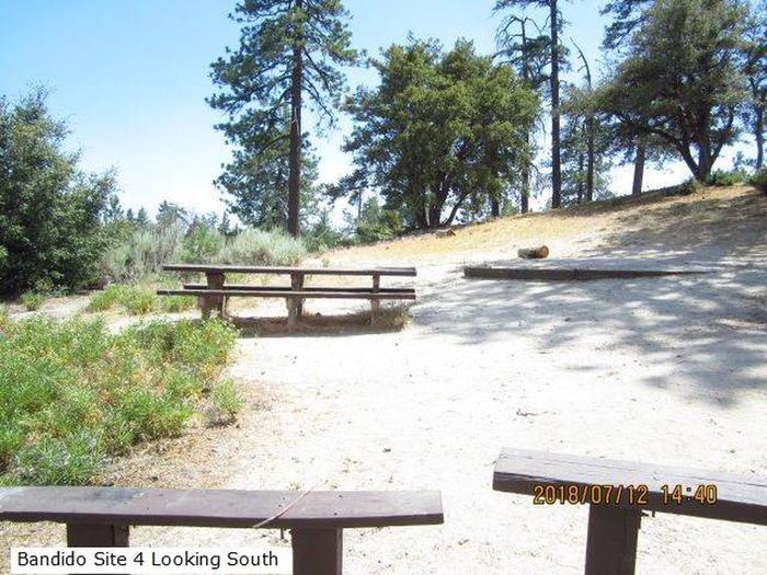
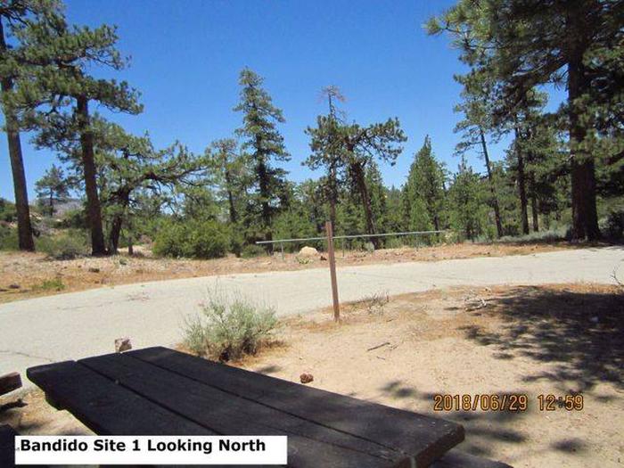
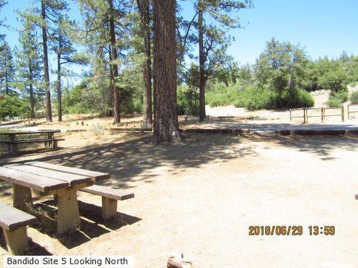
Groups of all types will enjoy staying at the Bandido Group Campground, which boasts beautiful scenery in a relaxing, rustic atmosphere. The site accommodates groups of up to 150 campers, but is designed for equestrian campers and provides several horse corrals and hitch racks. Bandido is divided into five campsites, each with varying capacities for smaller groups. Site #1 has a capacity of 12 campers. Site #2 can accommodate 60 campers. Site #3 and #5 can each hold a maximum of 30 campers. Site #4 has a capacity of 18 campers.

Recreation

Several trails for hiking, mountain biking and horseback riding can be accessed from the campground. This includes a connector trail to the Pacific Crest Trail (PCT). The PCT stretches from Mexico all the way north to Canada. Within the Angeles Forest, the impressive trail covers 176 miles of its lengthy journey.

Facilities

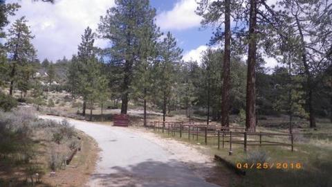
No water or electricity is available. There are 25 picnic tables, community fire rings, vault toilets and 20 horse corrals. The site also boasts paved roads and space to park trailers.

Natural Features

The campground sits at an elevation of 5,840 feet, surrounded by Jeffery pines, scrub oaks and manzanita. The Angeles National Forest spans 694,187 acres over most of the San Gabriel Mountain range in southern California. Elevations here range from 1,200 to 10,000 feet, from the low canyon lands to the snow-capped mountain peaks.

Nearby Attractions

Drive the Angeles Crest Highway, a scenic byway that meanders through oak thickets, chaparral, high desert landscapes and pine tree forests.

Reservation

More from CampingHiking.net:

RAINBOW (OR), Oregon Campground Images, Info & Reservations

Listen Directions From Estacada, travel east on Highway 224/Road 46 for 26 miles to the campground. Phone 503-630-5721 Activities CAMPING, FISHING, HIKING, WATER SPORTS, WILDLIFE VIEWING Keywords RAIB,MT. HOOD NF – FS Related Link(s) Rec Area Info & Images Oregon State Road Conditions Oregon State Tourism Forest Service Concessionaire Overview

COYOTE GROUP, California Campground Images, Info & Reservations

Listen Directions From Auburn, Calif., take Highway 80 to the Foresthill Road, then travel 20 miles east to Foresthill. Turn right on Mosquito Ridge Road and continue east for 42 miles, to the French Meadows Reservoir. Follow signs to the campground. Phone 530-367-2224 Activities BIKING, BOATING, CAMPING, FISHING, HIKING, SWIMMING

KAH SHEETS LAKE CABIN, Alaska Campground Images, Info & Reservations

Listen Directions Access by float plane is 22 miles from Petersburg, while access by by boat and hiking trail combination is 24 miles from Petersburg, then a 2.75-mile hike from the bay to the inland lake. A 18-foot tide is required for direct boat access to the trailhead. Please check

Holter Lake Campground, Montana Campground Images, Info & Reservations

Listen Directions From Great Falls, Montana take Interstate-15 South towards Helena. Take exit 234 to Craig. Turn left heading to Craig and cross river. Will come to a “T” and then take a right on Recreation Road. Travel approximately 5 miles. Before crossing the river/steel bridge, turn left onto Beartooth

MAMMOTH CABIN, Utah Campground Images, Info & Reservations

Listen Directions From Fairview, Utah, for 8.5 miles proceed east on Utah Highway 31. Then turn east (left) to Utah highway 264 for .2 miles, then turn left (north) through the paved parking lot to the gravel road, then right (FS road 0124 downhill). You will pass the Gooseberry Campground

PINE POINT, Oregon Campground Images, Info & Reservations

Listen Directions From Sandy, Oregon, travel east on Highway 26 for approximately 40 miles to Skyline Road/Road 42. Turn right on Skyline Road and continue south for about 9 miles. Turn right on Forest Service Road 57 and travel west for 3 miles, then turn right again at the Pine