Directions
From Independence Pass, take Highway 82 west from downtown Aspen for a mile to the roundabout. Take Maroon Creek Road 4.7 miles to the Maroon Bells Welcome Station; East Maroon Portal is 2 miles past the Welcome Station on the left.
From Glenwood Springs, take Highway 82 for 40 miles to the roundabout. Take Maroon Creek Road 4.7 miles to the Maroon Bells Welcome Station; East Maroon Portal is 2 miles past the Welcome Station on the left.
Phone
970-963-2266
Activities
CAMPING, FISHING, HIKING, HORSEBACK RIDING, VISITOR CENTER
Keywords
EMPP,EAST MAROON PICNIC SITE,EAST MAROON WILDERNESS PORTAL,WHITE RIVER NF -FS
Related Link(s)
Colorado State Road Conditions
Overview
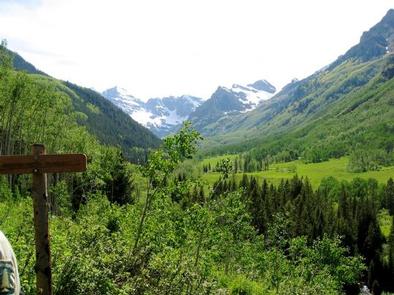
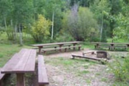
East Maroon Portal Picnic Site is situated next to Maroon Creek, offering spectacular views of towering red stone cliffs, lush wetlands and evergreen forests. The area is an excellent gathering spot for families, group gatherings and parties.
The picnic area is available for use by the general public, but can be reserved for private events. This is the only site available in the Maroon Bells Scenic Area for wedding receptions.
Recreation
Nestled in the heart of the Rocky Mountains, the 2.3 million acre White River national Forest is one of the top recreation Forests in the nation.
For hikers and backpackers, the Maroon Bells-Snowmass Wilderness epitomizes the Rocky Mountains of Colorado. Starting from the East Maroon Portal, the Maroon Creek Trail winds through aspen groves and across boulder fields. After about a mile the East Maroon Trail branches off the Maroon Creek Trail and enters the wilderness. Climbing to alpine terrain, backpackers will find high mountain lakes and a smattering of wildflowers in early summer. Check specific regulations for camping in the Maroon Bells-Snowmass Wilderness Area.
Facilities
This picnic area is available for use by the general public, but can be reserved for private events for a fee. The picnic site can be reserved for the morning, afternoon, or both. This is the only site available in the Maroon Bells Scenic Area for wedding receptions.
The picnic area has three large picnic tables and can accommodate up to 70 people.
Vehicle traffic is restricted on Maroon Creek Road from 8 a.m. until 5 p.m. past the Maroon Bells Welcome Station. Individuals who reserve this picnic site are issued five vehicle passes which allow travel in a motorized vehicle past this point. Parties reserving both the amphitheatre and picnic site for the same event will only be issued five vehicle passes total. Parking is severely limited at the Bells and public access is our first priority.
Other options for access to the site include parking at Aspen Highlands Ski Area for
0-3 Hours $10
3-8 Hours $15
8+ Hours $25
and riding the Maroon Bells shuttle bus ($8.00 per adult and $6.00 for seniors 65 or older and children under 6). Operating hours for the shuttle bus are 8:00 a.m. until 5:00 p.m. The shuttle bus runs from the first weekend of June until the first weekend of October, weather permitting. We recommend renting one or more high occupancy vehicles that hold 12 or more guests.
Bird seed, confetti, electric music and PA systems are prohibited at the site.
Visitors are required to remove or dispose of decorations and all trash after events. All food, beverages, scented items, and trash must be properly stored or removed when not attended. A bear-proof food locker and bear-proof waste receptacles are available at the site. Vault toilets are available at this site. Running water is not available at the picnic area.
Natural Features
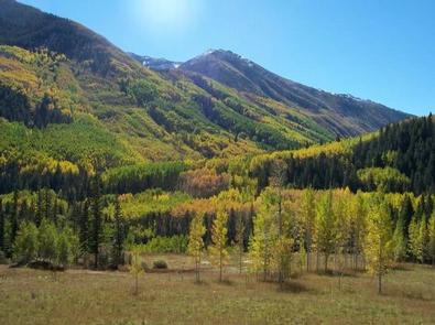
The Maroon Bells Scenic Area is surrounding Maroon Bells-Snowmass Wilderness. This wilderness is one of the five original Colorado wilderness areas designated by the 1964 Wilderness Act. Its scenic value exudes from its aspen groves, meadows of wildflowers, and dark forests of spruce and fir that rise up from the valleys to alpine landscapes. Here, bighorn sheep, pika, and ptarmigan find habitat above timberline.
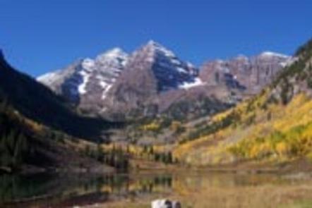
Towering over glacial valleys at over 14,000 feet in elevation, the Maroon Bells are the most recognizable peaks in the Elk Mountains. The Maroon Bells are unique in the Rockies in that they are made up of metamorphic sedimentary mudstone that gives the peaks their maroon color and unstable nature for climbing.
Nearby Attractions
The nearby town of Aspen is a popular destination for visitors to the area. From downhill skiing and world-class fly fishing, to dining and resorts, there are a multitude of outdoor and indoor opportunities in this mountain town.


