
Directions
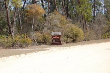
Doe Lake Recreation Area is between Moss Bluff and Umatilla, Florida.
From I-75, west of Ocala, Florida, take the exit for State Route 40 east. Continue 11 miles to Forest Corners, then turn right on County Road 314-A. After about 9 miles, pass through a blinking light at Moss Bluff. Take the next major right at an old country store. Drive for 3.6 miles, passing entrances for Sunnyhill Restoration Area on the left, and turn left on Forest Road 14, also known as Cross Road or Big Scrub Road. Continue nearly a mile and bear right, then turn right into the recreation area.
Physical Address:
Doe Lake Campground
Umatilla, FL 32784
Phone
352-625-2520
Activities
CAMPING, FISHING, HORSEBACK RIDING, WILDLIFE VIEWING
Keywords
DOEL,NFs IN FLORIDA – FS
Related Link(s)
Overview
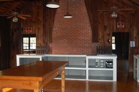
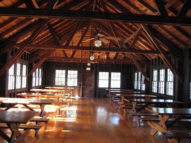
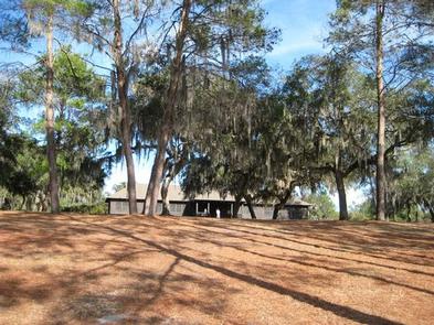
Doe Lake is a group campsite with a variety of activities. Centered around a historic lodge with a large group kitchen, it’s an ideal place for major outdoor gatherings of up to 250 people. The site is a favorite among equestrian groups, but can also accommodate weddings and other social events.
Recreation
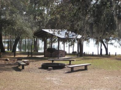
Equestrian camping, canoeing, boating and fishing are some of the popular activities around Doe Lake, and can be enjoyed exclusively by visitors with a group reservation.
Campers can launch a canoe or low-powered boat and drop a line in the middle of Doe Lake for an afternoon of fishing.
Facilities
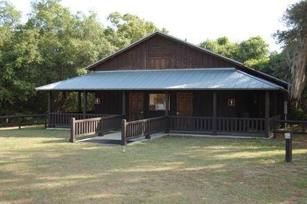
This site is centered around a classic 1930s Civilian Conservation Corps dining hall that has been historically restored.
Tent camping is most common at this facility. RVs and horse trailers are allowed, but limited to specific areas that do not offer hookups. Restrooms with flush toilets and showers are provided, as are hitching posts for horses.
Natural Features
Located in north central Florida, the Ocala National Forest spans four counties and 383,000 acres. It is the southernmost and oldest national forest east of the Mississippi River and protects the world’s largest contiguous sand pine scrub forest.
The camping area sits beneath a shady grove of oaks and pines overlooking Doe Lake, and the dining hall sits atop a grassy hill with a view of the water.
Nearby Attractions
The Ocala National Forest is notable for its extensive off-road trail system catering to both ATV enthusiasts and Jeeps, as well as being a traditional destination for deer hunters. These opportunities are available in designated areas throughout the forest.