Directions
Grapevine Lake is located in the Dallas-Fort Worth Metroplex, south of Denton, Texas. The north side of the lake is almost entirely within the town boundaries of Flower Mound, Texas in Denton county. The south side of the lake is located in Grapevine, Trophy Club and Southlake, Texas in Tarrant County. The parks physical address is 880 Simmions Road, Flower Mound, Texas
Phone
817-865-2600
Activities
BOATING, CAMPING, FISHING, HIKING, DAY USE AREA, PHOTOGRAPHY, MOUNTAIN BIKING, KAYAKING, CANOEING, WATER ACCESS, JET SKIING
Keywords
MURRELL PARK,GRAPEVINE LAKE,GRAPEVINE,FLOWER MOUND
Related Link(s)
Overview
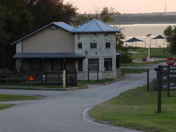
Murrell Park offers day use facilities, boat ramp access and primitive camping on scenic Grapevine Lake, in the middle of the Dallas-Fort Worth Metroplex in Texas.
The lake has become a premier recreation destination for the Southwest and offers some of the best camping, fishing and boating in Texas.
This facility is open year-round, but particularly in hot summer months, the cool water provides a refreshing break from the Texas heat.
Recreation
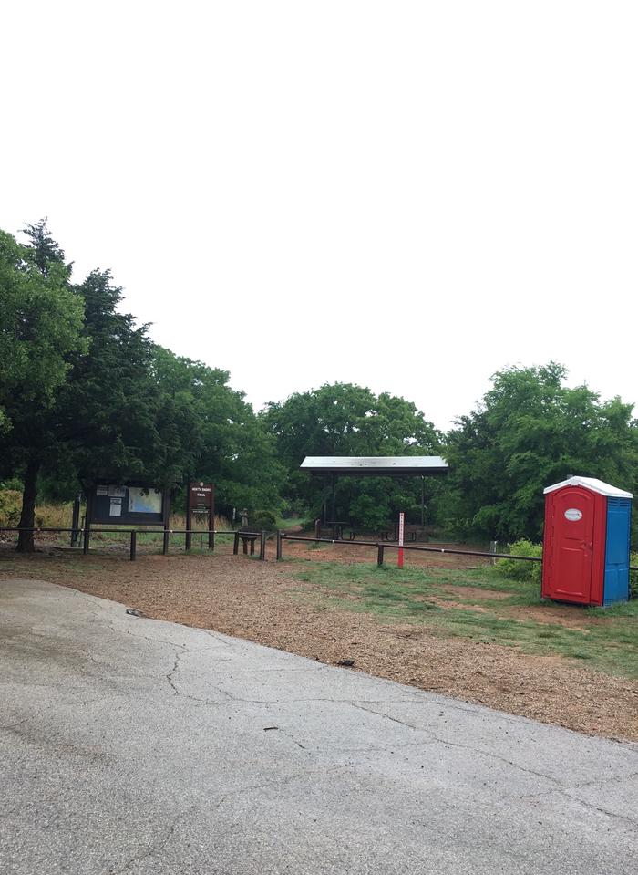
Murrell Park is popular for picnicking, hiking, mountain biking, boating and fishing. The park is home to the well known Northshore Trail, which welcomes hikers and bikers. Horses are not permitted on the Northshore Trail or in Murrell Park; however, there are horse trails available on the south side and west end of the lake. Hunting is not allowed in the park, but is available in some of the surrounding public lands. Anglers can fish along the shoreline or from the water; popular species include black and white crappie, catfish and bass.
Facilities
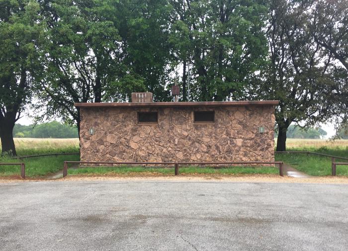
This facility offers 22 tent-only campsites along the lakeshore with views of the water. These sites do not have electrical or water hook ups. All campsites have campfire rings and most have grills; some also offer picnic tables and picnic shelters. Two pit toilets are provided; shower and flush toilet facilities are not available. Water fountains are available from spring through fall and are shut off during the winter months. It is recommended that campers provide their own water. The park contains one low water boat ramp as well as a high water boat ramp.
Natural Features
Grapevine is an 7,280 acre recreational lake with 60 miles of rolling shoreline. The area offers a wide variety of wildlife to observe, including white-tailed deer, turkey, squirrel, armadillo, rabbit and numerous birds species.
Nearby Attractions
The nearby city of Grapevine offers many historical attractions as one of the oldest settlements in the county, dating back to 1844, a year before Texas became a part of the United States.


