FARNUM CREEK, KS Campground Reservation, Info, Images, Map, Directions

FARNUM CREEK, Kansas Campground Images, Info & Reservations

Directions

Take I-70 to exit 295 then north on Highway 77. Drive 11 miles to park entrance.

Phone

785-463-5791

Activities

CAMPING, FISHING, WILDLIFE VIEWING

Keywords

None

Related Link(s)

Rec Area Info & Images

Kansas State Tourism

Kansas State Road Conditions

Overview

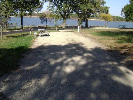
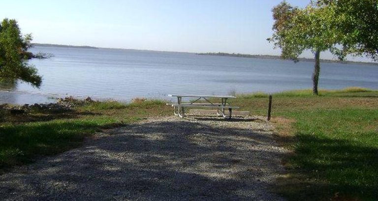
Farnum Creek is a quaint double-loop campground set on the lovely shores of Milford Lake. The Milford Lake recreation area spans 33,000 acres of public land for wildlife protection, cultural resources and plenty of outdoor recreation.

Click here for the Milford Lake Virtual Tour.

Recreation

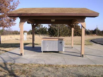
Boating, swimming, fishing, birding and biking are among the many things to do at Milford Lake. Nearly 70% of the land resources are available for public hunting and for fishermen returning from a successful trip, there is a fish cleaning station.

Facilities

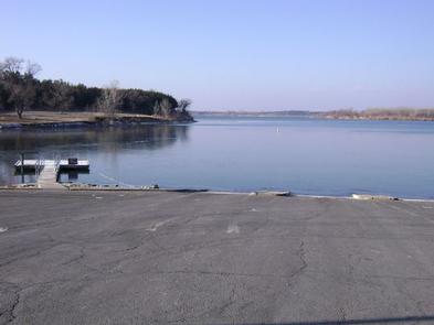
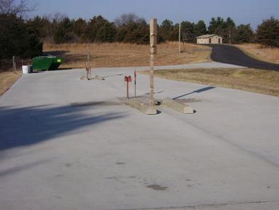
The campground has five pull-through RV pads, one of which is an accessible site. Of the 59 cap sites, more than half have electric hookups. The park offers the comfort of hot showers, a playground and boat ramp.

Natural Features

Milford Lake, at 1,200 ft. elevation, extends from the Republican River. It’s the largest man-made lake in Kansas, with a surface area of 15,700 acres and 163 miles of shoreline.

Nearby Attractions

The Milford Nature Center and Fish Hatchery is below the Milford Dam. Beside the nature center is a golf course.

Reservation

More from CampingHiking.net:

LODGEPOLE (Taylor River), Colorado Campground Images, Info & Reservations

Directions From Gunnison, Colo., travel north on Highway 135 for 10 miles to Almont. Turn right (northeast) onto Taylor Canyon Road and proceed 12 miles to the campground entrance, which is on the right. Phone 970-642-0566 Activities BIKING, BOATING, CAMPING, FISHING, HIKING, HORSEBACK RIDING Keywords LODG,LODGEPOLE Gunnison Grand Mesa,GUNNISON,GM,UNCOMP NF

MOGOLLON CAMPGROUND, Arizona Campground Images, Info & Reservations

Directions Located on Road 300 approximately 5 miles off of Highway 260. Phone 928-535-9859 Activities CAMPING, INTERPRETIVE PROGRAMS Keywords Related Link(s) Rec Area Info & Images Arizona State Road Conditions Arizona State Tourism Overview Mogollon Campground, although not directly in the Woods Canyon Recreation area, sits just outside and is

MANTI COMMUNITY, Utah Campground Images, Info & Reservations

Directions Located 7 miles east of Manti, Utah, on Forest Development Road #045. Phone 435-283-4151 Activities BIKING, BOATING, CAMPING, FISHING, HIKING, WILDLIFE VIEWING Keywords MANT,MANTI-LASAL NF -FS Related Link(s) Rec Area Info & Images Utah State Tourism Utah State Road Conditions Overview Manti Community Campground is just 7 miles from

FAIRVIEW CAMPGROUND, California Campground Images, Info & Reservations

Directions Off of Highway 99 in Bakersfield, California, take Highway 178 east to Lake Isabella. From Lake Isabella take Highway 155 around the west side of the lake to the town of Kernville. From Kernville go north on Sierra Way/Mountain 99 for 16 miles to the campground. Phone 760-376-1815 Activities

JUMPUP CABIN, Arizona Campground Images, Info & Reservations

Directions From Fredonia, AZ: Travel on State Route 89a south 1 mile to Forest Road (FR) 22. Take a right onto FR22. Follow FR22 for approximately 30 miles (the pavement ends after approximately 19 miles). From FR22 take FR447 west (right turn) to the junction of the FR234 (4 miles),