PINK BEDS PICNIC SHELTER, NC Campground Reservation, Info, Images, Map, Directions

PINK BEDS PICNIC SHELTER, North Carolina Campground Images, Info & Reservations

Directions

From Pisgah Ranger Station/ Visitor Center parking lot, turn right onto US 276. Drive north approximately 10 miles to Pink Beds Picnic Area. The facility is located along Hwy 276 (Forest Heritage National Scenic Byway) 4 miles from the Blue Ridge Parkway and 11 miles from the intersection of Hwy 280 and US 64 in Pisgah Forest, NC.

Phone

828 877-3265

Activities

HISTORIC & CULTURAL SITE, CAMPING

Keywords

Related Link(s)

Rec Area Info & Images

North Carolina State Tourism

North Carolina State Road Conditions

Overview

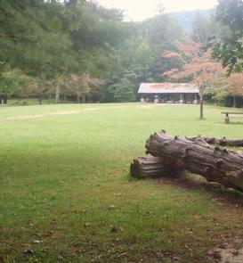
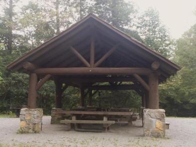
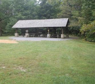
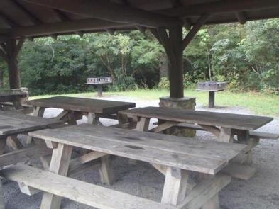
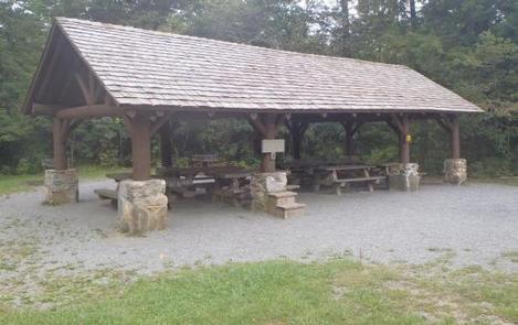
The Pink Beds Picnic Shelter is the larger of two available shelters. It is adjacent to the Cradle of Forestry in America, a 6,500 acre historic site commemorating the beginning of forest conservation in the United States.

Recreation

As part of the Pisgah National Forest, the Pink Beds area offers excellent hiking trails. An easy, five mile loop trail begins on the left side of the parking area. The surrounding area is ideal for other types of recreation including fishing, horseback riding, and swimming.

Facilities

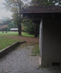
The area has a flush toilet restroom, 21 picnic tables, grills, an old Civilian Conservation Corps gazebo, and this larger shelter.

Natural Features

Named for the rhododendron, mountain laurel and azalea that bloom in spring and summer, the Pink Beds Picnic Shelter is renowned for its scenic forest setting and small stream nearby. At an elevation of 3,280 feet, it is appealing to visitors for its relatively flat valley which sustains some very large pine trees and rare mountain bogs.

Nearby Attractions

The area is next door to the Cradle of Forestry in America Historic Site, and four miles from both the Blue Ridge Parkway and Sliding Rock Recreation Area.

Reservation

More from CampingHiking.net:

SWAN LAKE CAMPGROUND, Montana Campground Images, Info & Reservations

Directions From Bigfork, Montana, take State Route 209 east for 4.9 miles to Swan Lake/State Route 83. Turn right and go 10.9 miles to the campground sign. Turn left at the sign into the campground. Phone 406-752-7924 FOR RESERVATIONS CALL: 1-877-444-6777 Activities BIKING, BOATING, CAMPING, FISHING, HIKING, WATER SPORTS, WILDLIFE

IRON RIDGE – LAKE VESUVIUS, Ohio Campground Images, Info & Reservations

Directions From U.S. Highway 52 at Ironton, Take State Route 93 north for 6 miles to the Lake Vesuvius Road (County Road 29). Turn east toward Lake Vesuvius and travel 1 mile to the recreation area. Phone 740-534-6500 Activities BOATING, CAMPING, FISHING, HIKING, HUNTING Keywords IROR,VESUVIUS,LAKE VESUVIUS,IRON RIDGE,IRON RIDGE LAKE

SALT LICK CREEK, Tennessee Campground Images, Info & Reservations

Directions From Carthage, go 4 miles west on SR-25, then north on SR-80, then east on SR-85 to Gladice. Turn right on Smith Bend Road and follow signs. Phone 931-678-4718 Activities BOATING, CAMPING, INTERPRETIVE PROGRAMS, FISHING, WILDLIFE VIEWING, WILDERNESS, SWIMMING SITE, PHOTOGRAPHY, PADDLING, SWIMMING, MOTOR BOAT, PADDLE BOATING, WATER ACTIVITIES,

TEJAS PARK, Texas Campground Images, Info & Reservations

Directions From I-35, take Williams Drive west, then turn south on Farm to Market Rd 3405. Turn east on County Rd 258 and continue across the North San Gabriel River. Turn left into Tejas Park. Phone 512-930-5253 Activities CAMPING, FISHING, HIKING, HUNTING, WILDLIFE VIEWING, PADDLING, MOUNTAIN BIKING, WATER ACTIVITIES Keywords

MOOSE LAKE CABIN, Montana Campground Images, Info & Reservations

Directions From Philipsburg, travel south on Highway 1 for about 7 miles to the junction with Skalkaho Highway/Highway 38. Turn right onto Highway 38 and continue west for about 9 miles and turn left onto Moose Lake Road/Forest Road 5106. Travel another 9 miles to the cabin. Winter weather conditions