

Directions
From Bend, OR: Head south on Highway 97 for approximately 27 miles and 8 miles west on County Road 43, then you will see a sign for the campground on the sound side of County Road 43.
Phone
541-323-1746
Activities
CAMPING
Keywords
Related Link(s)
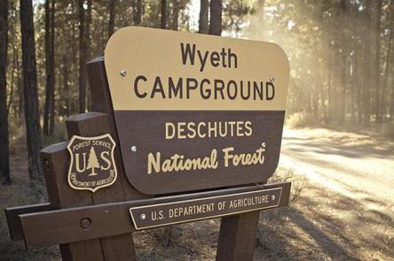
Overview
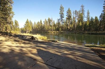
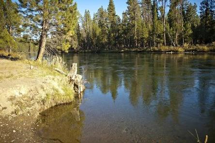
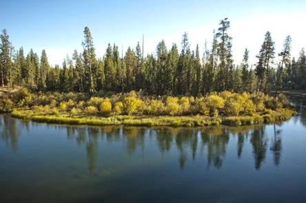
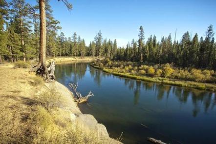
Wyeth Campground is a small campground located along the Deschutes River just downstream from Wickiup Reservoir.
Recreation
Paddling and fishing are popular activities in this area. Motorized boating is not permitted on this stretch of the Deschutes River.
Facilities
Wyeth Campground can accommodate RV, trailer or tent-campers, however, electric and water hookups are not available. Campers will need to bring their own water supply. All sites are equipped with a picnic table and fire pit and the campground has vault toilets available. This facility also has a boat ramp to provide access to the Deschutes River.
Natural Features
The Deschutes River flows north through mixed conifer forest.
Nearby Attractions
Visitors can explore wilderness areas, rivers, lakes and reservoirs, and approximately hundred of miles of trail. Newberry National Volcanic Monument, approxiately 45 minutes by vehicle, is a great starting point for visitors to learn about the diverse landscape and history of the area through interpretive programs and exhibits. Visitors can explore Lava River Cave, the longest continuous lava tube in Oregon. Visitors enjoy traveling the Cascade Lakes Scenic Bywaywhich climbs 66 miles through the Cascade Range, weaving past snow-capped peaks and alpine lakes.