TOWNSHEND LAKE DAY USE AREA, VT Campground Reservation, Info, Images, Map, Directions

TOWNSHEND LAKE DAY USE AREA, Vermont Campground Images, Info & Reservations

Listen

Directions

Townshend Lake is located 19 miles north of Brattleboro, Vermont, on Vermont Route 30.

Phone

802-365-7703

Activities

BIKING, BOATING, CAMPING, FISHING, HIKING, WINTER SPORTS, WILDLIFE VIEWING, SWIMMING SITE, SWIMMING, SNOWMOBILE, KAYAKING, CANOEING, BIRDING, CROSS COUNTRY SKIING, RAFTING, WHITEWATER RAFTING, SNOWSHOEING, SLEDDING, SNOWMOBILE TRAILS

Keywords

Townshend Dam

Related Link(s)

Rec Area Info & Images

Vermont State Tourism

Vermont State Road Conditions

Overview

Townshend Lake is nestled in the Green Mountains of Vermont. Families from near and far come to enjoy the outdoor recreational opportunities the lake has to offer.

Recreation

Townshend Lake offers ample recreation opportunities. A boat ramp provides access for canoeing, kayaking and small motor boats (10hp or less). The lake is stocked once a year with Rainbow Trout for the enjoyment of anglers. The three group shelters are surrounded by many individual picnic tables with BBQ grills for smaller groups to enjoy. The Ledges Overlook Trial offers stunning views of the Green Mountains along the 1.7 mile loop with Townshend Lake Nature Area a short drive up Route 30 offering access to the West River Trail.

Facilities

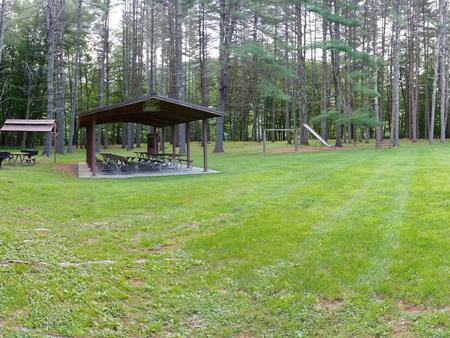
Within the recreation area, there are three large picnic shelters with electricity surrounded by individual picnic tables and grills available for use. There are also flush toilets, drinking water, playgrounds, volleyball courts, horse shoe pits, a swim beach and hiking trails available throughout the park.

Natural Features

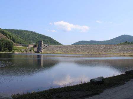
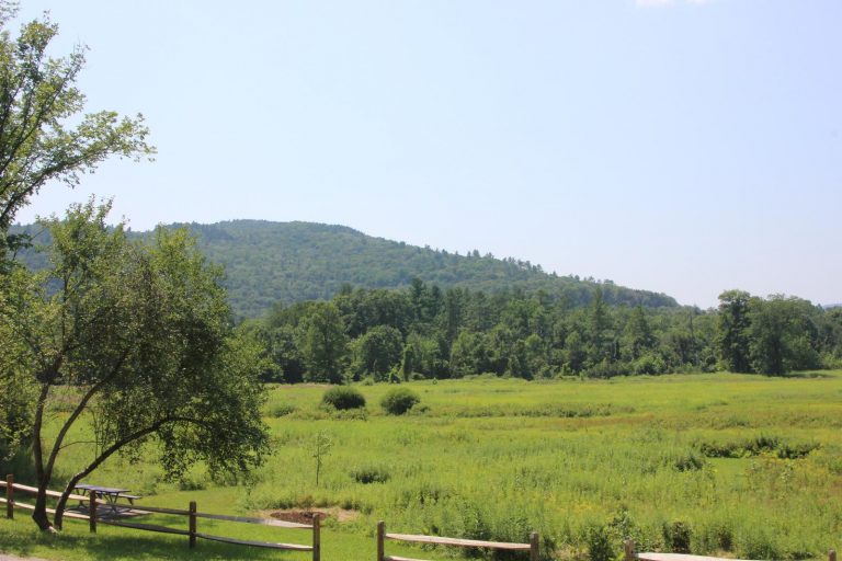
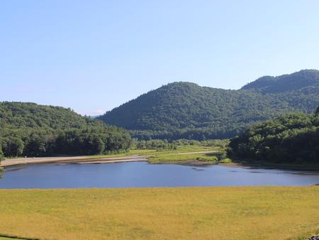
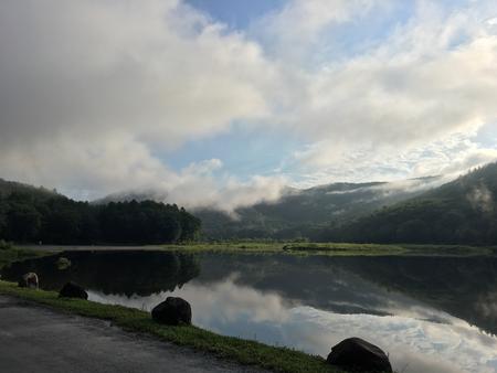
The recreation area sits in the West River Valley behind the Townshend Dam on the shores of Townshend Lake. The picnic area offers many large trees for shade along with other sun-basked open areas.

Nearby Attractions

Townshend Lake Nature Area is located 2 miles north on Route 30. Scott Covered Bridge is located 1/4 mile south on Route 30.

Reservation

More from CampingHiking.net:

DEER CREEK CABIN (MT), Montana Campground Images, Info & Reservations

Listen Directions Deer Creek Cabin is located approximately 30 miles south of Big Timber, Montana. It can be accessed by 3 different routes. It is recommended that renters carry topographic maps, GPS and compasses for navigation since the route may be difficult to find. One route to follow is the

COLES POINT, Virginia Campground Images, Info & Reservations

Listen Directions From I-64 at Exit 16A or 16B in Covington, follow signs to U.S. Highway 220 and travel north about 5.5 miles. Turn left on State Road 687/Jackson River Road and travel about 3.2 miles. Turn left on State Road 641/Indian Draft Road, which soon becomes State Road 666.

EAGLE CREEK CAMPGROUND, Oregon Campground Images, Info & Reservations

Listen Watch the Stunning Eagle Creek Trail Video Directions From Portland, OR: Travel east on Interstate 84 to exit #41 “Eagle Creek Recreation Area” which is just past the interstate tunnel…make sure you are in the right lane before entering the tunnel. Take a right at the end of the

COLD SPRINGS, Colorado Campground Images, Info & Reservations

Listen Directions From Interstate 25 in Denver, go west on 6th Avenue to State Highway 6, through Clear Creek Canyon. Turn onto State Highway 119, heading toward Black Hawk and Central City. Follow the highway approx. 5 miles north of Black Hawk, to the campground. Phone 801-226-3564 Activities BIKING, CAMPING,

GATES GROUP, California Campground Images, Info & Reservations

Listen Directions From Auburn, Calif., take Highway 80 to the Foresthill Road and travel 20 miles east to Foresthill. Turn right onto Mosquito Ridge Road and travel 42 miles east to French Meadow Reservoir. Follow the signs to the campground. Phone 530-367-2224 Activities BIKING, BOATING, CAMPING, FISHING, HIKING, PICNICKING, SWIMMING