
Directions
From Bend, OR: Travel about 23.5 miles south on Highway 97 then 3 miles east on County Road 21 until you see the sign for McKay Crossing at FS road 2120. Travel a few miles on this sometimes washboard dirt road to reach the campground,
Phone
541-383-5300
Activities
CAMPING
Keywords
Related Link(s)
Overview
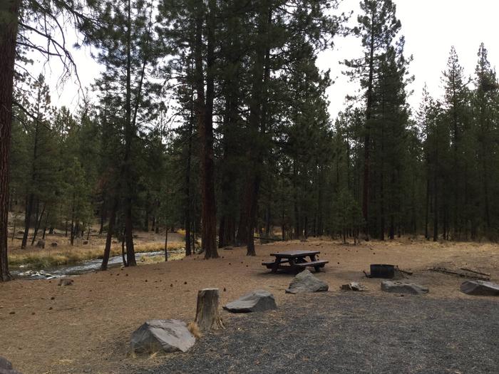
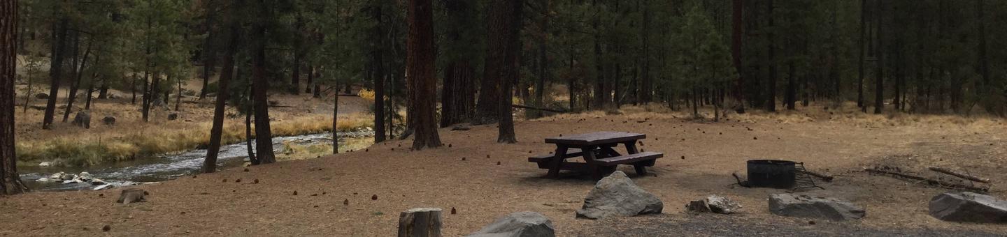
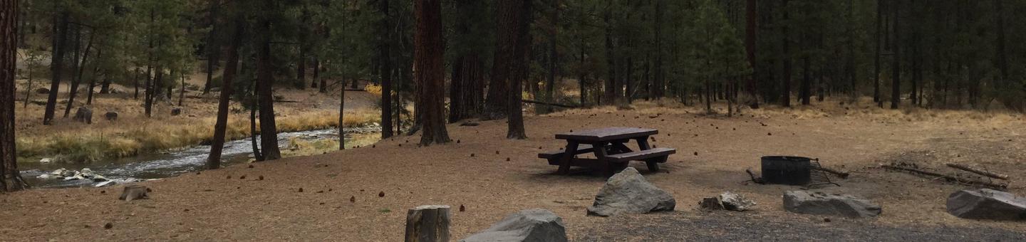
McKay Crossing Campground is located off the beaten path along Paulina Creek. It provides campers with seclusion from the main road and the tranquility of hearing the creek flow. This area is good for bird watching, particularly in the wetlands located west of the campground.
Recreation
Boating, swimming and fishing are popular activities enjoyed by visitors during spring, summer and fall months, while skiing and snowmobiling are popular during the winter.
Anglers have the opportunity to fish in the surrounding clear, cold lakes and streams for abundant salmon and trout.
Hikers and backpackers have access to a variety of trails in the area, including several in Newberry National Volcanic Monument.
The Crater Rim Trail is a favorite high country trail, boasting vast stretches of forest, deserts and mountains extending from all sides of the trail.
Nearby Peter Skene Ogden National Recreation Trail parallels Paulina Creek, passing several waterfalls along the way, as it ascends 8.5 miles to the spectacular Paulina Lake.
Facilities
McKay Crossing Campground can accommodate RV, trailer or tent-campers however electric and water hookups are not available. All sites are equipped with a picnic table and fire pit and the campground has vault toilets available.
Natural Features
Paulina Creek divides this campground into two sections with sites 1-5 in one loop and sites 6-15 in an adjacent loop. A large waterfall is within a very short walk and brings the sound of falling waters to the camp sites near by.
Nearby Attractions
Visitors enjoy traveling the Cascade Lakes Scenic Byway, known as Oregon’s Highway in the Sky, which climbs into the clouds on a 66-mile drive through the Cascade Range, weaving past snow-capped peaks and alpine lakes.
Lava Lands Visitor Center in nearby Bend, Oregon, is a great starting point for visitors to learn about the diverse landscape and history of the area through interpretive programs and exhibits.
Lava River Cave, located in the Newberry National Volcanic Monument is also nearby for campers to explore. At 5,211 feet in length, the northwest section of the cave is the longest continuous lava tube in Oregon.