Directions
Approximately 5 miles south of Mineral Springs on Highway 355, turn right / west onto Bright Star Road travel approximately 3 miles, turn left / south onto Cottonshed Lane.
OR
North on Hwy 355 approximately 5 miles, turn left / west onto Bright Star Road travel approximately 3 miles, turn left / south onto Cottonshed Lane.
Phone
870-287-7118
Activities
BOATING, CAMPING, FISHING, WILDLIFE VIEWING
Keywords
Related Link(s)
Arkansas State Road Conditions
Overview
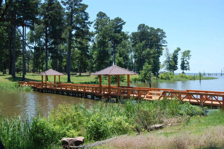
Cottonshed Park is located off the beaten path, eight miles southwest of Mineral Springs and Tollette. It is a quiet, wooded area with access to some of the best fishing on Millwood Lake.
Recreation
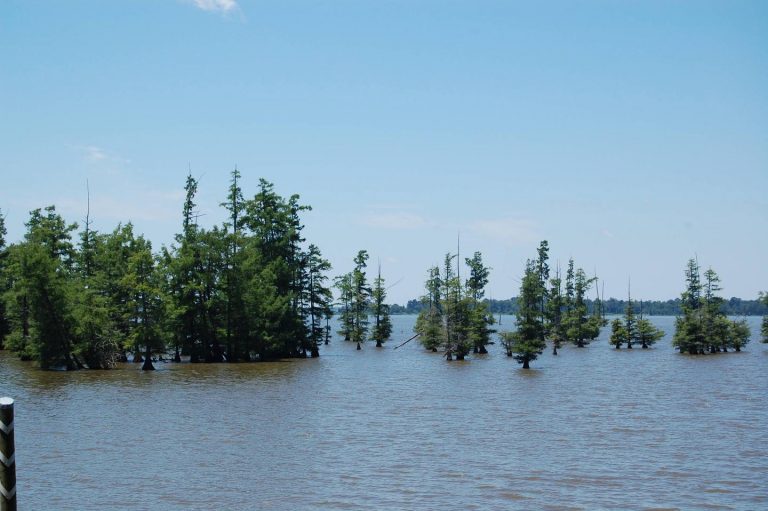
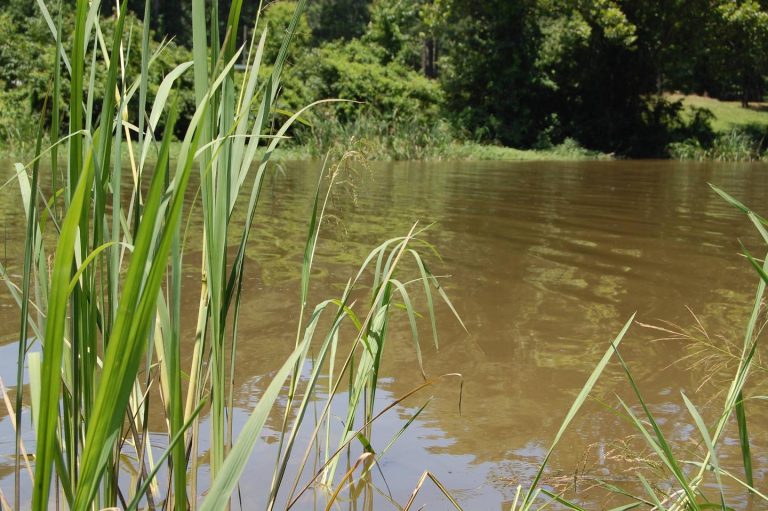
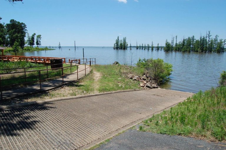
The campground is located on Millwood Lake with direct access to the Saline River. The area is made navigable by boat lanes which mark the river and other man made paths through the lake. Outside of these channels is submerged timber and aquatic vegetation that entice anglers and duck hunters to the area. Millwood Lake is home to over 300 species of birds including the American Bald Eagle and Great White Pelicans, many of which can be found in the Cottonshed area.
Facilities
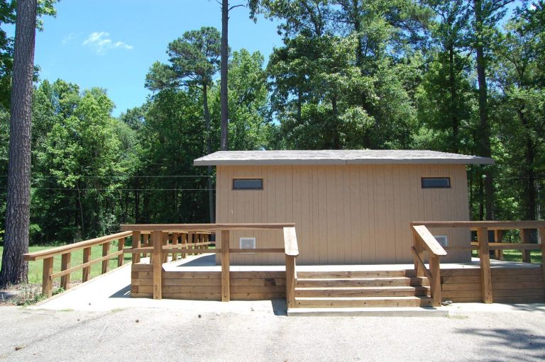
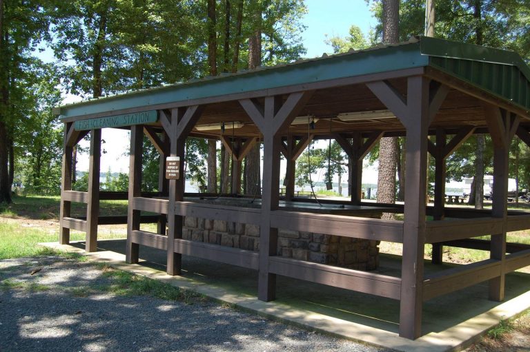
The campground contains lake side campsites as well as those not located directly on the lake but with a lake view. Flush toilets, showers, and potable water are located throughout the campground. The facility also offers one centrally located sewage dump station. Campsites are equipped with picnic tables, grills, fire rings, 30/50 amp electricity, water hydrants and lantern poles.
Natural Features
The campground is located directly on Millwood Lake with lake views from most of the campsites. The surrounding landscape is flat, low land areas with dense timber.
Nearby Attractions
Old Washington Historic State Park is located 25 miles northeast of the park.

