


Directions
From Bend, travel 26.8 miles south on Hwy 97 to Wickiup Junction, then 11.0 miles west on County Road 43, then continue 4.6 miles west on Forest Road 42, and finally 2.0 miles south on Forest Road 4260.
Phone
541-323-1746
Activities
CAMPING
Keywords
Related Link(s)
Overview
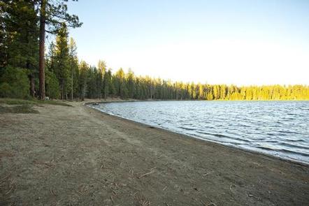
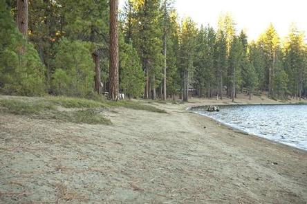
South Twin Lake Campground sits on the shores of South Twin Lake, a small lake adjacent to the much larger Wickiup Reservoir.
Recreation
South Twin Lake provides visitors with the opportunity for fishing, swimming and paddling. Motorized boating is not permitted.
Facilities
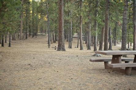
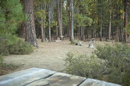
This facility has sites that can accomodate, tent, trailer or RV campers. Each site comes with a picnic table and is equipped with a fire ring. This campground offers potable water and flush toilets, as well as, a nearby boat launch area leading to the water. Boat launch parking is for day use only and requires a recreation fee separate from camping fees.
Natural Features
The lake was formed about 20,000 years ago when rising magma-encountered groundwater resulting in violent steam explosions. The resulting explosions formed a broad shallow crater, which later filled with water. The lake covers an area of 99 acres with average depth of 33 feet with a maximum depth of 58 feet. South Twin Lake is a lure’s toss from the Deschutes arm of Wickiup Reservoir and less than a mile south of North Twin lake.
Nearby Attractions
Visitors can explore wilderness areas, rivers, lakes and reservoirs, and approximately hundred of miles of trail. Newberry National Volcanic Monument, approxiately 45 minutes by vehicle, is a great starting point for visitors to learn about the diverse landscape and history of the area through interpretive programs and exhibits. Visitors can explore Lava River Cave, the longest continuous lava tube in Oregon. Visitors enjoy traveling the Cascade Lakes Scenic Bywaywhich climbs 66 miles through the Cascade Range, weaving past snow-capped peaks and alpine lakes.